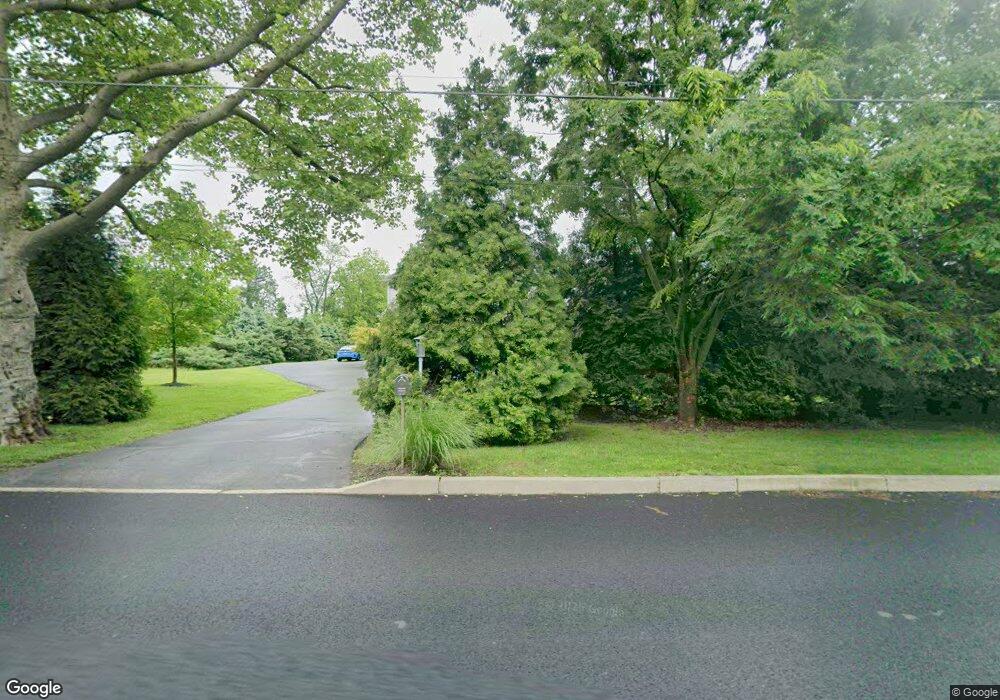
1469 Broad St Dresher, PA 19025
Estimated Value: $936,095 - $1,053,000
4
Beds
4
Baths
3,190
Sq Ft
$308/Sq Ft
Est. Value
About This Home
This home is located at 1469 Broad St, Dresher, PA 19025 and is currently estimated at $983,024, approximately $308 per square foot. 1469 Broad St is a home located in Montgomery County with nearby schools including Maple Glen El School, Sandy Run Middle School, and Upper Dublin High School.
Ownership History
Date
Name
Owned For
Owner Type
Purchase Details
Closed on
Dec 17, 2004
Sold by
Eichenlaub John G Inc and Eichenlaub John G
Bought by
Fracht Harvey U and Fracht Monica L
Current Estimated Value
Home Financials for this Owner
Home Financials are based on the most recent Mortgage that was taken out on this home.
Original Mortgage
$400,000
Outstanding Balance
$200,320
Interest Rate
5.73%
Mortgage Type
New Conventional
Estimated Equity
$782,704
Purchase Details
Closed on
Sep 19, 2003
Sold by
John Eichenlaub Inc
Bought by
John Eichenlaub Inc
Purchase Details
Closed on
Apr 17, 2003
Sold by
Pileggi Jospeh and Pileggi Jospeh
Bought by
Eichenlaub John G Inc
Create a Home Valuation Report for This Property
The Home Valuation Report is an in-depth analysis detailing your home's value as well as a comparison with similar homes in the area
Home Values in the Area
Average Home Value in this Area
Purchase History
| Date | Buyer | Sale Price | Title Company |
|---|---|---|---|
| Fracht Harvey U | $693,440 | -- | |
| John Eichenlaub Inc | -- | -- | |
| Eichenlaub John G Inc | $1,190,000 | -- |
Source: Public Records
Mortgage History
| Date | Status | Borrower | Loan Amount |
|---|---|---|---|
| Open | Fracht Harvey U | $400,000 |
Source: Public Records
Tax History Compared to Growth
Tax History
| Year | Tax Paid | Tax Assessment Tax Assessment Total Assessment is a certain percentage of the fair market value that is determined by local assessors to be the total taxable value of land and additions on the property. | Land | Improvement |
|---|---|---|---|---|
| 2025 | $18,539 | $380,180 | $53,340 | $326,840 |
| 2024 | $18,539 | $380,180 | $53,340 | $326,840 |
| 2023 | $18,106 | $380,180 | $53,340 | $326,840 |
| 2022 | $17,712 | $380,180 | $53,340 | $326,840 |
| 2021 | $17,271 | $380,180 | $53,340 | $326,840 |
| 2020 | $16,772 | $380,180 | $53,340 | $326,840 |
| 2019 | $16,491 | $380,180 | $53,340 | $326,840 |
| 2018 | $16,491 | $380,180 | $53,340 | $326,840 |
| 2017 | $15,890 | $380,180 | $53,340 | $326,840 |
| 2016 | $15,742 | $380,180 | $53,340 | $326,840 |
| 2015 | $15,356 | $380,180 | $53,340 | $326,840 |
| 2014 | $14,869 | $380,180 | $53,340 | $326,840 |
Source: Public Records
Map
Nearby Homes
- 1485 Mundock Rd
- 1478 Dillon Rd
- 1423 Southwind Way
- 1404 Cinnamon Cir
- 1525 Limekiln Pike
- 1425 Crosby Dr
- 1021 Meetinghouse Rd
- 1354 Wentz Dr
- 1536 Fulton Dr
- 1300 Kirks Ln
- 1380 Harris Rd
- 1225 Nash Dr
- 3404 Honey Run Rd
- 402 Harrison Place
- 1324 Highland Ave
- 1425 Welsh Rd
- 1733 Waterford Way
- 996 Whitney Ln
- 105 Bolton Ct Unit 156
- 201 Victoria Ct
- 1481 Broad St
- 1400 Twin Pond Dr
- 1404 Twin Pond Dr
- 1454 Catlin Way
- 1485 Broad St
- 1415 Limekiln Pike
- 1477 Broad St
- 1448 Catlin Way
- 1460 Catlin Way
- 1464 Catlin Way
- 1407 Limekiln Pike
- 1444 Catlin Way
- 1453 Catlin Way
- 1322 Limekiln Pike
- 1451 Broad St
- 1451 Broad St
- 1411 Limekiln Pike
- 1449 Catlin Way
- 1468 Catlin Way
- 1468 Catlin Way Unit 3
