1469 Goldstone Dr Central Point, OR 97502
Estimated Value: $784,000 - $1,062,982
3
Beds
3
Baths
3,452
Sq Ft
$280/Sq Ft
Est. Value
About This Home
This home is located at 1469 Goldstone Dr, Central Point, OR 97502 and is currently estimated at $967,994, approximately $280 per square foot. 1469 Goldstone Dr is a home located in Jackson County with nearby schools including Jacksonville Elementary School, McLoughlin Middle School, and South Medford High School.
Ownership History
Date
Name
Owned For
Owner Type
Purchase Details
Closed on
Jul 24, 2015
Sold by
Steigerwald Steigerwald Catherine Frances Catherine Frances
Bought by
Steigerwald Steigerwald Catherine Frances Catherine Frances and Catherine Frances Steigerwald Trust
Current Estimated Value
Purchase Details
Closed on
Sep 27, 2001
Sold by
Ekerson Arthur A and Ekerson Margaret Jean
Bought by
Steigerwald Hermann E and Steigerwald Catherine F
Create a Home Valuation Report for This Property
The Home Valuation Report is an in-depth analysis detailing your home's value as well as a comparison with similar homes in the area
Home Values in the Area
Average Home Value in this Area
Purchase History
| Date | Buyer | Sale Price | Title Company |
|---|---|---|---|
| Steigerwald Steigerwald Catherine Frances Catherine Frances | -- | None Available | |
| Steigerwald Hermann E | $410,000 | First American Title Ins Co |
Source: Public Records
Tax History Compared to Growth
Tax History
| Year | Tax Paid | Tax Assessment Tax Assessment Total Assessment is a certain percentage of the fair market value that is determined by local assessors to be the total taxable value of land and additions on the property. | Land | Improvement |
|---|---|---|---|---|
| 2025 | $7,466 | $639,700 | $191,040 | $448,660 |
| 2024 | $7,466 | $621,070 | $184,970 | $436,100 |
| 2023 | $7,237 | $602,990 | $179,590 | $423,400 |
| 2022 | $7,070 | $602,990 | $179,590 | $423,400 |
| 2021 | $6,895 | $585,430 | $174,360 | $411,070 |
| 2020 | $6,735 | $568,380 | $169,290 | $399,090 |
| 2019 | $6,585 | $535,760 | $159,560 | $376,200 |
| 2018 | $6,422 | $520,160 | $154,910 | $365,250 |
| 2017 | $6,323 | $520,160 | $154,910 | $365,250 |
| 2016 | $6,209 | $490,310 | $146,020 | $344,290 |
| 2015 | $5,945 | $490,310 | $146,020 | $344,290 |
| 2014 | $5,864 | $462,170 | $137,640 | $324,530 |
Source: Public Records
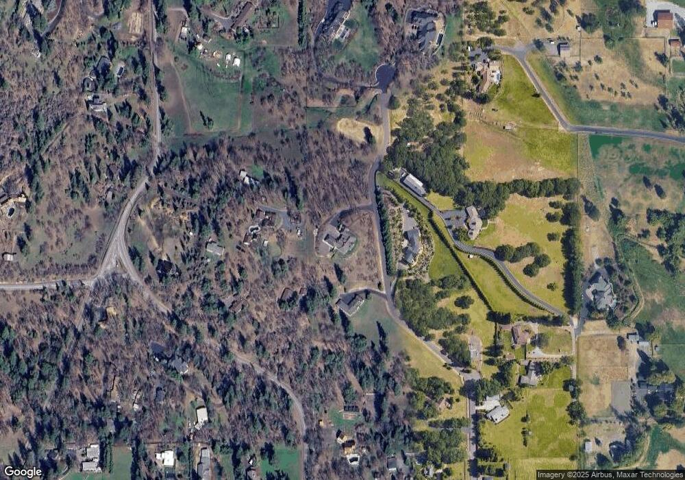
Map
Nearby Homes
- 2555 Old Military Rd
- 1916 Old Military Rd
- 2805 Old Military Rd
- 3220 Freeland Rd
- 3307 Freeland Rd
- 3506 New Ray Rd
- 3642 Oak Pine Way
- 570 Bachand Cir
- 4075 Livingston Rd
- 429 Mayberry Ln
- 659 Jackson Creek Dr
- 4425 W Main St Unit 23
- 4425 W Main St Unit 31
- 420 Mayberry Ln
- 465 Creekside Cir
- 487 Creekside Cir
- 25 Donna Way
- 1055 N 5th St Unit 79
- 1055 N 5th St Unit 15
- 187 Vashti Way
- 1417 Goldstone Dr
- 2402 Old Military Rd
- 2404 W Hillside Dr
- 3680 Ross Ln
- 2388 Old Military Rd
- 1315 Goldstone Dr
- 3650 Ross Ln
- 3691 Ross Ln
- 2281 Hillside Dr
- 2309 W Hillside Dr
- 2355 Old Military Rd
- 1609 Goldstone Dr
- 3765 Ross Ln
- 1600 Goldstone Dr
- 3701 Ross Ln
- 2271 W Hillside Dr
- 2385 Old Military Rd
- 2313 Old Military Rd
- 2514 Old Military Rd
- 2254 Old Military Rd