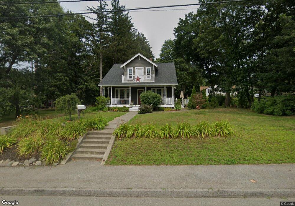
1469 Grafton Rd Millbury, MA 01527
Estimated Value: $349,000 - $436,000
2
Beds
2
Baths
1,326
Sq Ft
$297/Sq Ft
Est. Value
About This Home
This home is located at 1469 Grafton Rd, Millbury, MA 01527 and is currently estimated at $393,922, approximately $297 per square foot. 1469 Grafton Rd is a home located in Worcester County with nearby schools including Elmwood Street Elementary School, Raymond E. Shaw Elementary School, and Millbury Junior/Senior High School.
Ownership History
Date
Name
Owned For
Owner Type
Purchase Details
Closed on
Apr 1, 1994
Sold by
Millbury Sb
Bought by
Sudar Stephen and Sudar Sharon
Current Estimated Value
Purchase Details
Closed on
Jul 29, 1993
Sold by
Zayonc Frank W and Millbury Sb
Bought by
Millbury Sb
Create a Home Valuation Report for This Property
The Home Valuation Report is an in-depth analysis detailing your home's value as well as a comparison with similar homes in the area
Home Values in the Area
Average Home Value in this Area
Purchase History
| Date | Buyer | Sale Price | Title Company |
|---|---|---|---|
| Sudar Stephen | $70,000 | -- | |
| Sudar Stephen | $70,000 | -- | |
| Millbury Sb | $55,000 | -- | |
| Millbury Sb | $55,000 | -- |
Source: Public Records
Mortgage History
| Date | Status | Borrower | Loan Amount |
|---|---|---|---|
| Open | Millbury Sb | $189,000 | |
| Closed | Millbury Sb | $14,789 |
Source: Public Records
Tax History Compared to Growth
Tax History
| Year | Tax Paid | Tax Assessment Tax Assessment Total Assessment is a certain percentage of the fair market value that is determined by local assessors to be the total taxable value of land and additions on the property. | Land | Improvement |
|---|---|---|---|---|
| 2025 | $4,518 | $337,400 | $116,800 | $220,600 |
| 2024 | $4,150 | $313,700 | $108,200 | $205,500 |
| 2023 | $3,069 | $212,400 | $75,800 | $136,600 |
| 2022 | $3,152 | $210,100 | $75,800 | $134,300 |
| 2021 | $15,662 | $203,200 | $75,800 | $127,400 |
| 2020 | $3,045 | $198,600 | $75,800 | $122,800 |
| 2019 | $2,991 | $188,700 | $68,900 | $119,800 |
| 2018 | $2,737 | $167,500 | $68,900 | $98,600 |
| 2017 | $2,752 | $167,500 | $68,900 | $98,600 |
| 2016 | $2,558 | $155,400 | $68,900 | $86,500 |
| 2015 | $2,648 | $160,900 | $73,300 | $87,600 |
| 2014 | $2,565 | $150,000 | $73,300 | $76,700 |
Source: Public Records
Map
Nearby Homes
- 11 Maplewood Rd
- 27 A-B Grafton St
- 3 Stidsen Way
- 38 Etre Dr
- 12 Irene Ct
- 232 Weatherstone Dr
- 36 Westborough St
- 39 Pointe Rok Dr Unit 39
- 48 Pointe Rok Dr Unit 48G
- 1201 Grafton St Unit 73
- 31 Crane St
- 1203 Grafton St Unit 38
- 1195 Grafton St Unit 3
- 1199 Grafton St Unit 93
- 95 Pineland Ave
- 589 Sunderland Rd
- 11 Westview Ave
- 86 Wheelock Ave
- 11 Margin St
- 2 Diane St
- 1471 Grafton Rd
- 1465 Grafton Rd
- 1473 Grafton Rd
- 1466 Grafton Rd
- 1464 Grafton Rd Unit Office
- 1464 Grafton Rd Unit 2
- 1464 Grafton Rd Unit 1
- 1464 Grafton Rd
- 1463 Grafton Rd
- 1477 Grafton Rd
- 1477 Grafton Rd Unit 1,1477
- 216 Wheelock Ave
- 1474 Grafton Rd
- 13 Maplewood Rd
- 9 Maplewood Rd
- 221 Wheelock Ave
- 7 Maplewood Rd
- 219 Wheelock Ave
- 1460 Grafton Rd
- 212 Wheelock Ave