1469 NE Paropa Ct Unit 1 Gresham, OR 97030
Northeast Gresham NeighborhoodEstimated Value: $168,879 - $197,000
2
Beds
1
Bath
780
Sq Ft
$235/Sq Ft
Est. Value
About This Home
This home is located at 1469 NE Paropa Ct Unit 1, Gresham, OR 97030 and is currently estimated at $182,940, approximately $234 per square foot. 1469 NE Paropa Ct Unit 1 is a home located in Multnomah County with nearby schools including Hall Elementary School, Gordon Russell Middle School, and Sam Barlow High School.
Ownership History
Date
Name
Owned For
Owner Type
Purchase Details
Closed on
Jun 14, 2017
Sold by
Peri Cathleen A
Bought by
Ewcp Lth Fund Llc
Current Estimated Value
Home Financials for this Owner
Home Financials are based on the most recent Mortgage that was taken out on this home.
Original Mortgage
$72,250
Interest Rate
4.02%
Mortgage Type
Construction
Purchase Details
Closed on
Aug 25, 1999
Sold by
Modugno Richard W and Modugno Wendi L
Bought by
Petri Cathleen A
Home Financials for this Owner
Home Financials are based on the most recent Mortgage that was taken out on this home.
Original Mortgage
$46,000
Interest Rate
7.56%
Create a Home Valuation Report for This Property
The Home Valuation Report is an in-depth analysis detailing your home's value as well as a comparison with similar homes in the area
Home Values in the Area
Average Home Value in this Area
Purchase History
| Date | Buyer | Sale Price | Title Company |
|---|---|---|---|
| Ewcp Lth Fund Llc | $85,000 | Wfg Title | |
| Petri Cathleen A | $54,500 | First American Title Co |
Source: Public Records
Mortgage History
| Date | Status | Borrower | Loan Amount |
|---|---|---|---|
| Closed | Ewcp Lth Fund Llc | $72,250 | |
| Previous Owner | Petri Cathleen A | $46,000 |
Source: Public Records
Tax History
| Year | Tax Paid | Tax Assessment Tax Assessment Total Assessment is a certain percentage of the fair market value that is determined by local assessors to be the total taxable value of land and additions on the property. | Land | Improvement |
|---|---|---|---|---|
| 2025 | $1,452 | $71,350 | -- | $71,350 |
| 2024 | $1,390 | $69,280 | -- | $69,280 |
| 2023 | $1,267 | $67,270 | $0 | $67,270 |
| 2022 | $1,231 | $65,320 | $0 | $0 |
| 2021 | $1,200 | $63,420 | $0 | $0 |
| 2020 | $1,129 | $61,580 | $0 | $0 |
| 2019 | $1,100 | $59,790 | $0 | $0 |
| 2018 | $1,049 | $58,050 | $0 | $0 |
| 2017 | $1,006 | $56,360 | $0 | $0 |
| 2016 | $887 | $54,720 | $0 | $0 |
Source: Public Records
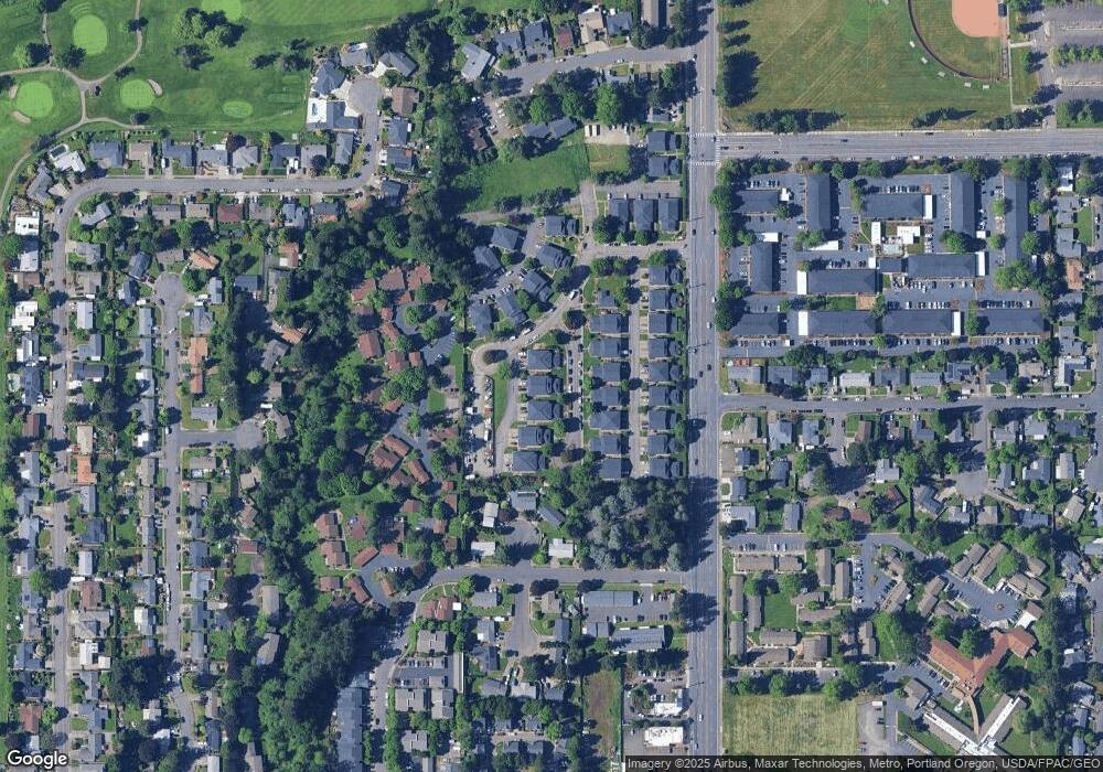
Map
Nearby Homes
- 1500 NE Paropa Ct Unit 1
- 1537 NE Kane Dr Unit 2
- 1553 NE Hale Place Unit 1
- 2980 NE Division St Unit 31
- 2980 NE Division St Unit 13
- 2980 NE Division St Unit 43
- 1350 NE Cochran Dr
- 1527 NE La Mesa Place
- 1371 NE Barnes Ct
- 912 NE Hacienda Ct Unit 916
- 2811 NE 6th St
- 4055 NE 13th Terrace
- 863 NE Fleming Ave Unit B10
- 1156 NE Paloma Ave
- 445 NE Village Squire Ave Unit 4
- 4117 NE 8th St Unit 9
- 579 NE Fleming Ave Unit C41
- 569 NE Fleming Ave Unit B46
- 220 NE Village Squire Ave Unit 12
- 3248 NE 29th St Unit 31
- 1473 NE Paropa Ct Unit 2
- 1479 NE Paropa Ct Unit 3
- 1481 NE Paropa Ct Unit 4
- 1481 NE Paropa Ct(bom)
- 1455 NE Paropa Ct Unit 3
- 1485 NE Paropa Ct Unit 2
- 1447 NE Paropa Ct Unit 1
- 1483 NE Paropa Ct Unit 1
- 1451 NE Paropa Ct Unit 2
- 1489 NE Paropa Ct Unit 4
- 1461 NE Paropa Ct
- 1487 NE Paropa Ct
- 1470 NE Paropa Ct Unit 1
- 1480 NE Paropa Ct
- 1437 NE Paropa Ct
- 1429 NE Paropa Ct Unit 1
- 1476 NE Paropa Ct Unit 3
- 1486 NE Paropa Ct Unit 3
- 1474 NE Paropa Ct Unit 3
- 1450 NE Paropa Ct Unit 1
Your Personal Tour Guide
Ask me questions while you tour the home.