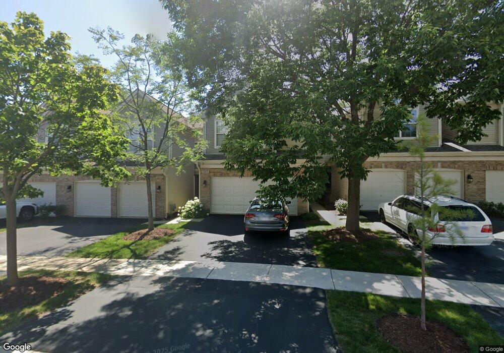
1469 Wyndham Cove Ln Schaumburg, IL 60173
East Schaumburg NeighborhoodEstimated Value: $439,000 - $493,000
3
Beds
3
Baths
1,670
Sq Ft
$275/Sq Ft
Est. Value
About This Home
This home is located at 1469 Wyndham Cove Ln, Schaumburg, IL 60173 and is currently estimated at $458,488, approximately $274 per square foot. 1469 Wyndham Cove Ln is a home located in Cook County with nearby schools including Adolph Link Elementary School, Margaret Mead Junior High School, and J B Conant High School.
Ownership History
Date
Name
Owned For
Owner Type
Purchase Details
Closed on
Apr 23, 1996
Sold by
The Ryland Group Inc
Bought by
Driscoll Karen A
Current Estimated Value
Home Financials for this Owner
Home Financials are based on the most recent Mortgage that was taken out on this home.
Original Mortgage
$125,000
Interest Rate
8.05%
Mortgage Type
Balloon
Purchase Details
Closed on
Apr 19, 1996
Sold by
The Ryland Group Inc
Bought by
Segatti Susan Mary
Home Financials for this Owner
Home Financials are based on the most recent Mortgage that was taken out on this home.
Original Mortgage
$125,000
Interest Rate
8.05%
Mortgage Type
Balloon
Create a Home Valuation Report for This Property
The Home Valuation Report is an in-depth analysis detailing your home's value as well as a comparison with similar homes in the area
Home Values in the Area
Average Home Value in this Area
Purchase History
| Date | Buyer | Sale Price | Title Company |
|---|---|---|---|
| Driscoll Karen A | $175,000 | -- | |
| Segatti Susan Mary | $189,500 | -- |
Source: Public Records
Mortgage History
| Date | Status | Borrower | Loan Amount |
|---|---|---|---|
| Previous Owner | Driscoll Karen A | $125,000 | |
| Previous Owner | Segatti Susan Mary | $105,000 |
Source: Public Records
Tax History Compared to Growth
Tax History
| Year | Tax Paid | Tax Assessment Tax Assessment Total Assessment is a certain percentage of the fair market value that is determined by local assessors to be the total taxable value of land and additions on the property. | Land | Improvement |
|---|---|---|---|---|
| 2024 | $8,315 | $33,000 | $5,500 | $27,500 |
| 2023 | $8,035 | $33,000 | $5,500 | $27,500 |
| 2022 | $8,035 | $33,000 | $5,500 | $27,500 |
| 2021 | $7,652 | $28,577 | $3,417 | $25,160 |
| 2020 | $7,588 | $28,577 | $3,417 | $25,160 |
| 2019 | $7,592 | $31,753 | $3,417 | $28,336 |
| 2018 | $8,012 | $30,133 | $2,875 | $27,258 |
| 2017 | $7,904 | $30,133 | $2,875 | $27,258 |
| 2016 | $7,634 | $30,133 | $2,875 | $27,258 |
| 2015 | $6,691 | $24,990 | $2,500 | $22,490 |
| 2014 | $6,634 | $24,990 | $2,500 | $22,490 |
| 2013 | $6,447 | $24,990 | $2,500 | $22,490 |
Source: Public Records
Map
Nearby Homes
- 26 Egg Harbour Ct
- 1300 Woodside Ct Unit B1
- 1301 Timberwood Ct Unit D1
- 151 Brookston Dr Unit A2
- 263 Driftwood Ln Unit 2D
- 1257 Rosewood Ct Unit D1
- 15 Bar Harbour Rd Unit 4F
- 327 Wildberry Ct Unit D2
- 274 Buckingham Ct Unit D2
- 391 Thornhill Ct Unit B1
- 1264 Williamsburg Dr Unit D2
- 243 Spring Creek Cir Unit 462
- 1254 Plum Tree Ct Unit A2
- 1386 Scarboro Rd Unit 1102
- 1527 Lexington Cir
- 373 Southbury Ct Unit D-1
- 1385 Scarboro Rd Unit 204
- 1535 Columbine Dr Unit 1
- 307 University Ln Unit A
- 251 University Ln
- 1473 Wyndham Cove Ln
- 1465 Wyndham Cove Ln
- 1477 Wyndham Cove Ln
- 1461 Wyndham Cove Ln
- 1457 Wyndham Cove Ln
- 1457 Wyndham Cove Ln Unit 1457
- 1453 Wyndham Cove Ln
- 1441 Wyndham Cove Ln
- 1449 Wyndham Cove Ln
- 66 Whitman Dr
- 1476 Wyndham Cove Ln
- 1472 Wyndham Cove Ln
- 1445 Wyndham Cove Ln
- 1476 Sturgeon Bay Ct
- 1472 Sturgeon Bay Ct
- 1480 Sturgeon Bay Ct
- 1468 Sturgeon Bay Ct
- 1468 Wyndham Cove Ln
- 64 Whitman Dr
- 1464 Sturgeon Bay Ct