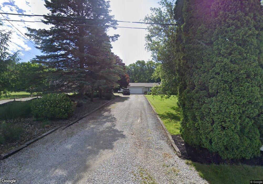
14691 Clinton Rd Doylestown, OH 44230
Estimated Value: $242,000 - $311,000
4
Beds
2
Baths
1,188
Sq Ft
$232/Sq Ft
Est. Value
About This Home
This home is located at 14691 Clinton Rd, Doylestown, OH 44230 and is currently estimated at $275,142, approximately $231 per square foot. 14691 Clinton Rd is a home located in Wayne County with nearby schools including Hazel Harvey Elementary School, Chippewa Intermediate School, and Chippewa Jr./Sr. High School.
Ownership History
Date
Name
Owned For
Owner Type
Purchase Details
Closed on
Apr 8, 2024
Sold by
Shields Herbert J
Bought by
Herbert J Shields Revocable Trust and Shields
Current Estimated Value
Purchase Details
Closed on
Jul 29, 1994
Sold by
Sheets Robert W
Bought by
Shields Gary L and Shields Rebecca S
Purchase Details
Closed on
Dec 11, 1992
Sold by
Peterson Gregory A and Peterson Lynn
Bought by
Sheets Robert W and Sheets Jeanna
Purchase Details
Closed on
Mar 16, 1989
Sold by
Rhoades Willard T and Rhoades Emoge
Bought by
Peterson Gregory A and Peterson Lynn
Create a Home Valuation Report for This Property
The Home Valuation Report is an in-depth analysis detailing your home's value as well as a comparison with similar homes in the area
Home Values in the Area
Average Home Value in this Area
Purchase History
| Date | Buyer | Sale Price | Title Company |
|---|---|---|---|
| Herbert J Shields Revocable Trust | -- | None Listed On Document | |
| Shields Gary L | $122,500 | -- | |
| Sheets Robert W | $97,000 | -- | |
| Peterson Gregory A | $80,600 | -- |
Source: Public Records
Tax History Compared to Growth
Tax History
| Year | Tax Paid | Tax Assessment Tax Assessment Total Assessment is a certain percentage of the fair market value that is determined by local assessors to be the total taxable value of land and additions on the property. | Land | Improvement |
|---|---|---|---|---|
| 2024 | $3,220 | $92,590 | $17,890 | $74,700 |
| 2023 | $3,220 | $92,590 | $17,890 | $74,700 |
| 2022 | $2,398 | $63,420 | $12,250 | $51,170 |
| 2021 | $2,415 | $63,420 | $12,250 | $51,170 |
| 2020 | $2,431 | $63,420 | $12,250 | $51,170 |
| 2019 | $1,986 | $49,940 | $10,920 | $39,020 |
| 2018 | $2,005 | $49,940 | $10,920 | $39,020 |
| 2017 | $1,989 | $49,940 | $10,920 | $39,020 |
| 2016 | $1,938 | $48,020 | $10,500 | $37,520 |
| 2015 | $1,930 | $48,020 | $10,500 | $37,520 |
| 2014 | $1,694 | $48,020 | $10,500 | $37,520 |
| 2013 | $1,680 | $46,210 | $9,870 | $36,340 |
Source: Public Records
Map
Nearby Homes
- 15500 Freedom Dr
- 500 W Clinton St
- V/L approx 67.56ac Gates St
- 0 Akron Rd Unit 5123781
- 340 Gates St
- 77 Koehler Ave
- 104 Homan Dr
- 436 N Portage St
- 517 N Portage St
- VL 1067 Homan Dr
- V/L 1050 Melanie Ln
- 15041 Doylestown Rd
- 680 Thorn Way
- 620 Thorn Way
- 580 Thorn Way
- 0 S Portage St
- 154 Circle Dr
- 14328 Calaboone Rd
- 970 Eastern Rd
- 270 Maple St
- 14715 Clinton Rd
- 14621 Clinton Rd
- 14769 Clinton Rd
- 15574 Freedom Dr
- 14747 Clinton Rd
- 14835 Clinton Rd
- 14861 Clinton Rd
- 14885 Clinton Rd
- 14907 Clinton Rd
- 14935 Clinton Rd
- 340 Northwood Dr
- 360 Northwood Dr
- 0 Clinton Rd Unit 3261568
- 0 Clinton Rd Unit 4345441
- 14856 Clinton Rd
- 320 Northwood Dr
- 380 Northwood Dr
- 14770 Clinton Rd
- 15475 Freedom Dr
- 14967 Clinton Rd