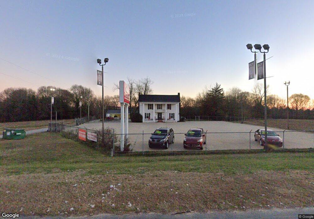
14693 Highway 17 Lavonia, GA 30553
Estimated Value: $631,845
--
Bed
4
Baths
2,859
Sq Ft
$221/Sq Ft
Est. Value
About This Home
This home is located at 14693 Highway 17, Lavonia, GA 30553 and is currently estimated at $631,845, approximately $221 per square foot. 14693 Highway 17 is a home located in Franklin County with nearby schools including Franklin County High School and Shepherd's Hill Academy.
Ownership History
Date
Name
Owned For
Owner Type
Purchase Details
Closed on
Nov 23, 2021
Sold by
Renfroe Dell D
Bought by
Jahng Steven Sung
Current Estimated Value
Home Financials for this Owner
Home Financials are based on the most recent Mortgage that was taken out on this home.
Original Mortgage
$334,969
Outstanding Balance
$282,439
Interest Rate
3.14%
Mortgage Type
Commercial
Estimated Equity
$349,406
Purchase Details
Closed on
Sep 3, 2004
Sold by
Frye Ron and Donna Fry
Bought by
Renfroe Dell D and Cherie Simpson
Purchase Details
Closed on
Jun 21, 1993
Bought by
Frye Ron and Donna Fry
Create a Home Valuation Report for This Property
The Home Valuation Report is an in-depth analysis detailing your home's value as well as a comparison with similar homes in the area
Home Values in the Area
Average Home Value in this Area
Purchase History
| Date | Buyer | Sale Price | Title Company |
|---|---|---|---|
| Jahng Steven Sung | $525,000 | -- | |
| Renfroe Dell D | $235,000 | -- | |
| Frye Ron | $95,000 | -- |
Source: Public Records
Mortgage History
| Date | Status | Borrower | Loan Amount |
|---|---|---|---|
| Open | Jahng Steven Sung | $334,969 |
Source: Public Records
Tax History Compared to Growth
Tax History
| Year | Tax Paid | Tax Assessment Tax Assessment Total Assessment is a certain percentage of the fair market value that is determined by local assessors to be the total taxable value of land and additions on the property. | Land | Improvement |
|---|---|---|---|---|
| 2024 | $4,785 | $201,015 | $76,230 | $124,785 |
| 2023 | $5,186 | $201,015 | $76,230 | $124,785 |
| 2022 | $4,030 | $156,208 | $76,230 | $79,978 |
| 2021 | $4,269 | $155,148 | $76,230 | $78,918 |
| 2020 | $4,314 | $155,148 | $76,230 | $78,918 |
| 2019 | $4,168 | $155,148 | $76,230 | $78,918 |
| 2018 | $4,174 | $155,373 | $76,230 | $79,143 |
| 2017 | $4,340 | $155,373 | $76,230 | $79,143 |
Source: Public Records
Map
Nearby Homes
- 103 Ross Place
- 396 Brookwood Dr
- 0 Deer Run Trail Unit 10622166
- 159 Old Park Rd
- 0 Fairview Farms Unit 7680882
- 0 Fairview Farms Unit 10623287
- 5474 Vickery St
- 5494 Vickery St
- 0 Highway 59 Unit 10615036
- 0 Highway 59 Unit 10632364
- 55 Wright St Unit 67
- 57 Wright St Unit 68
- 51 Wright St Unit 66
- 49 Wright St Unit 65
- 45 Wright St Unit 64
- 5710 Vickery St
- 59 Wright St Unit 69
- 4693 Vickery St
- 16834 Georgia 17
- 89 Huntington Dr
- 14693 Georgia 17
- 14811 Highway 17
- 293 Caudell Rd
- 330 Concrete Rd
- 300 Concrete Rd
- 0 Concrete Rd Unit 8323616
- 0 Concrete Rd Unit 7140625
- 0 Concrete Rd Unit 8380843
- 366 Caudell Rd Unit 350
- 366 Caudell Rd Unit 366
- 14668 Highway 17
- 0 Owens Dr Unit 7250159
- 14938 Highway 17
- 00 Lot 2 Pleasant Hill Rd
- 0 17 at Concrete Rd
- 0 Pleasant Hill Rd Unit 7048440
- 0 Pleasant Hill Rd Unit 8103193
- 0 Pleasant Hill Rd Unit 7592533
- 0 Pleasant Hill Rd Unit 7527407
- 0 Pleasant Hill Rd Unit 8744368