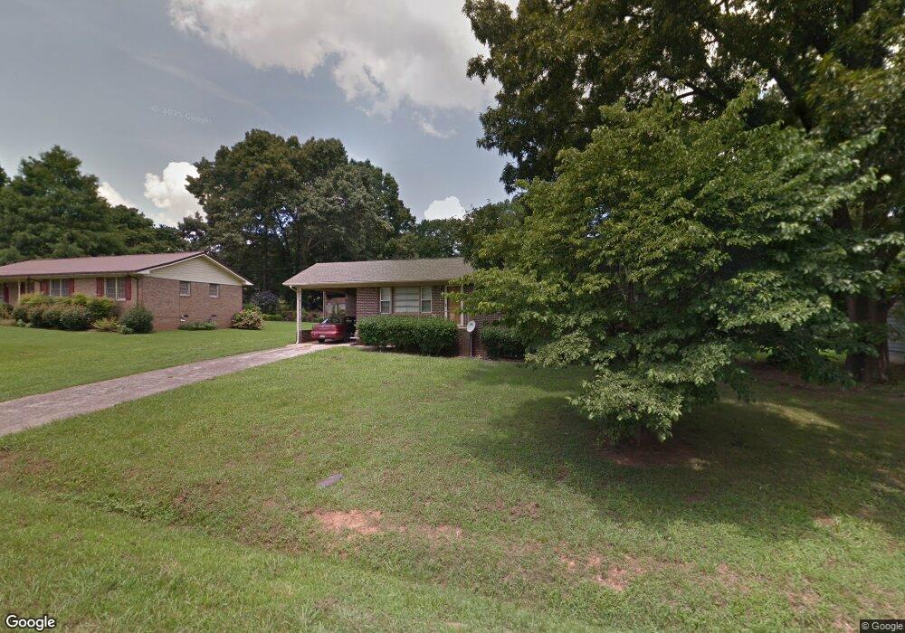
147 Abner Dr Cedartown, GA 30125
Estimated Value: $186,000 - $235,000
3
Beds
2
Baths
1,389
Sq Ft
$154/Sq Ft
Est. Value
About This Home
This home is located at 147 Abner Dr, Cedartown, GA 30125 and is currently estimated at $213,655, approximately $153 per square foot. 147 Abner Dr is a home located in Polk County with nearby schools including Cedar Christian School.
Ownership History
Date
Name
Owned For
Owner Type
Purchase Details
Closed on
May 7, 2024
Sold by
Landrum Stephen A
Bought by
Stephen A Landrum Revocable Living Trust and Landrum Stephen A Trust
Current Estimated Value
Purchase Details
Closed on
Dec 28, 2006
Sold by
Landrun Ben A
Bought by
Landrum Stephen A
Purchase Details
Closed on
May 23, 1967
Sold by
Shaw Carl T
Bought by
Landrum Ben A
Purchase Details
Closed on
Sep 10, 1965
Bought by
Shaw Carl T
Create a Home Valuation Report for This Property
The Home Valuation Report is an in-depth analysis detailing your home's value as well as a comparison with similar homes in the area
Purchase History
| Date | Buyer | Sale Price | Title Company |
|---|---|---|---|
| Stephen A Landrum Revocable Living Trust | -- | -- | |
| Landrum Stephen A | $55,000 | -- | |
| Landrum Ben A | -- | -- | |
| Shaw Carl T | -- | -- |
Source: Public Records
Tax History
| Year | Tax Paid | Tax Assessment Tax Assessment Total Assessment is a certain percentage of the fair market value that is determined by local assessors to be the total taxable value of land and additions on the property. | Land | Improvement |
|---|---|---|---|---|
| 2025 | $1,389 | $61,712 | $3,840 | $57,872 |
| 2024 | $1,171 | $56,032 | $3,840 | $52,192 |
| 2023 | $916 | $38,598 | $3,840 | $34,758 |
| 2022 | $775 | $32,676 | $2,560 | $30,116 |
| 2021 | $786 | $32,676 | $2,560 | $30,116 |
| 2020 | $787 | $32,676 | $2,560 | $30,116 |
| 2019 | $858 | $31,946 | $2,788 | $29,158 |
| 2018 | $840 | $30,473 | $2,119 | $28,354 |
| 2017 | $829 | $30,473 | $2,119 | $28,354 |
| 2016 | $829 | $30,473 | $2,119 | $28,354 |
| 2015 | $833 | $30,527 | $2,119 | $28,408 |
| 2014 | $828 | $30,116 | $2,083 | $28,033 |
Source: Public Records
Map
Nearby Homes
- 618 Valley Rd
- 645 Valley Rd
- 65 Oakwood Dr
- 1101 East Ave
- 305 Greenview Ct
- 10 Woodglen Dr
- 77 Ben Dr W
- 202 Ridgewood Rd
- 0 Davenport St Unit 10690225
- 254 E Girard Ave
- 206 Turner St
- 0 Blanche Rd Unit 10668579
- 0 Blanche Rd Unit 7701366
- 0 Joy Dr Unit 7702866
- 0 Joy Dr Unit 10669012
- 0 Joy Dr Unit 56
- 00 Joy Dr
- 00 Juliette St
- 427 Park St
- 315 Jones St
Your Personal Tour Guide
Ask me questions while you tour the home.