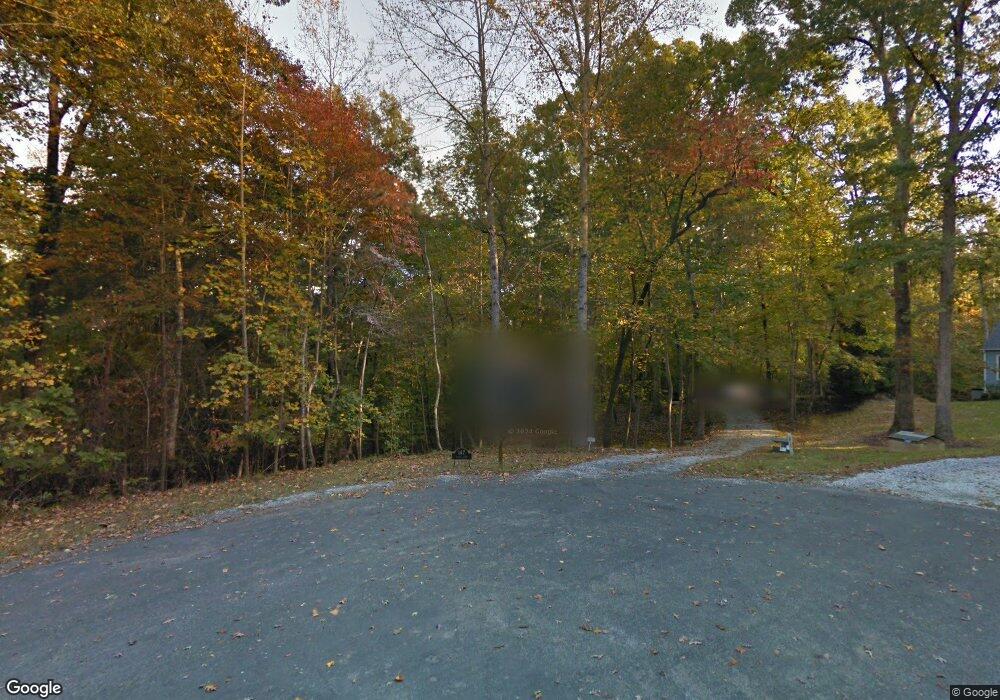
147 Bagby Ln Bahama, NC 27503
Estimated Value: $379,449 - $439,000
3
Beds
2
Baths
1,796
Sq Ft
$227/Sq Ft
Est. Value
About This Home
This home is located at 147 Bagby Ln, Bahama, NC 27503 and is currently estimated at $407,362, approximately $226 per square foot. 147 Bagby Ln is a home located in Durham County with nearby schools including Mangum Elementary School, Lucas Middle School, and Northern High School.
Ownership History
Date
Name
Owned For
Owner Type
Purchase Details
Closed on
May 27, 2011
Sold by
Kondo Douglas G
Bought by
Caprio Catherine A
Current Estimated Value
Purchase Details
Closed on
Jun 20, 2001
Sold by
Cleeves William L and Cleeves Candace K
Bought by
Kondo Douglas G and Caprio Catherine A
Home Financials for this Owner
Home Financials are based on the most recent Mortgage that was taken out on this home.
Original Mortgage
$168,000
Interest Rate
6.37%
Create a Home Valuation Report for This Property
The Home Valuation Report is an in-depth analysis detailing your home's value as well as a comparison with similar homes in the area
Home Values in the Area
Average Home Value in this Area
Purchase History
| Date | Buyer | Sale Price | Title Company |
|---|---|---|---|
| Caprio Catherine A | -- | None Available | |
| Kondo Douglas G | $168,000 | -- |
Source: Public Records
Mortgage History
| Date | Status | Borrower | Loan Amount |
|---|---|---|---|
| Previous Owner | Kondo Douglas G | $168,000 |
Source: Public Records
Tax History Compared to Growth
Tax History
| Year | Tax Paid | Tax Assessment Tax Assessment Total Assessment is a certain percentage of the fair market value that is determined by local assessors to be the total taxable value of land and additions on the property. | Land | Improvement |
|---|---|---|---|---|
| 2025 | $2,234 | $302,936 | $68,880 | $234,056 |
| 2024 | $2,148 | $205,492 | $79,779 | $125,713 |
| 2023 | $2,036 | $205,492 | $79,779 | $125,713 |
| 2022 | $1,954 | $205,492 | $79,779 | $125,713 |
| 2021 | $1,741 | $205,492 | $79,779 | $125,713 |
| 2020 | $1,705 | $205,492 | $79,779 | $125,713 |
| 2019 | $1,705 | $205,492 | $79,779 | $125,713 |
| 2018 | $1,566 | $175,286 | $64,164 | $111,122 |
| 2017 | $1,549 | $175,286 | $64,164 | $111,122 |
| 2016 | $1,483 | $175,286 | $64,164 | $111,122 |
| 2015 | $1,564 | $158,433 | $45,928 | $112,505 |
| 2014 | $1,564 | $158,433 | $45,928 | $112,505 |
Source: Public Records
Map
Nearby Homes
- 8200 Bromley Rd
- 0 Little River Dr Unit 10119715
- 7433 Guess Rd
- 7421 Guess Rd
- 7415 Guess Rd
- 7409 Guess Rd
- 8313 Polaris Dr
- 7610 Buckhorn Rd
- 2411 Darby Ln Unit 27278
- 9625 S Lowell Rd
- 7122 Guess Rd
- 7120 Guess Rd
- 7105 Guess Rd
- 2315 Lansdale Rd Unit 27278
- 7711 Quail Hollow Dr
- 8636 Johnson Mill Rd
- 2 Steepleton Ct
- 7008 Windover Dr
- 8635 Johnson Mill Rd
- 5 Penwick Place
- 146 Bagby Ln
- 140 Bagby Ln
- 1217 Lindale Dr
- 1217 Lindale Rd
- 141 Bagby Ln
- 1213 Lindale Rd
- 1203 Lindale Rd
- 1203 Lindale Rd
- 1219 Lindale Dr Unit 2
- 1219 Lindale Dr
- 1219 Lindale Dr Unit 2
- 1218 Lindale Dr
- 1219 Lindale Dr
- 118 Bagby Ln
- 1325 Lindale Rd
- 125 Bagby Ln
- 110 Bagby Ln
- 8717 S Lowell Rd
- 1218 Lindale Dr
- 1207 Lindale Rd
