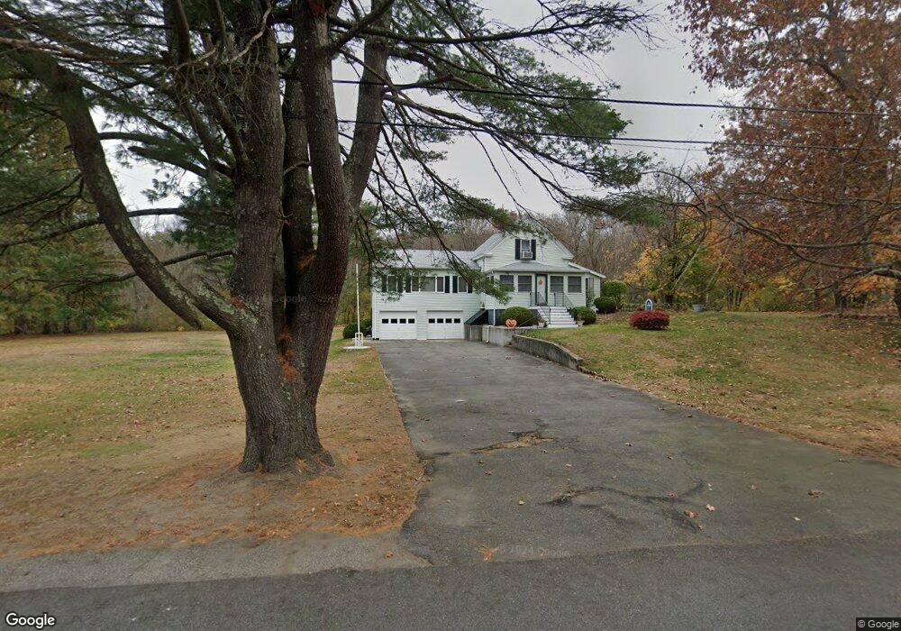
147 Brandy Brow Rd Haverhill, MA 01830
East Parish NeighborhoodEstimated Value: $549,000 - $578,000
2
Beds
1
Bath
1,587
Sq Ft
$352/Sq Ft
Est. Value
About This Home
This home is located at 147 Brandy Brow Rd, Haverhill, MA 01830 and is currently estimated at $558,134, approximately $351 per square foot. 147 Brandy Brow Rd is a home located in Essex County with nearby schools including Pentucket Lake Elementary School.
Ownership History
Date
Name
Owned For
Owner Type
Purchase Details
Closed on
Oct 27, 2021
Sold by
Schiavoni Claire B and Schiavoni Robert R
Bought by
T R
Current Estimated Value
Purchase Details
Closed on
Feb 6, 1963
Bought by
Schiavoni Robert R
Create a Home Valuation Report for This Property
The Home Valuation Report is an in-depth analysis detailing your home's value as well as a comparison with similar homes in the area
Home Values in the Area
Average Home Value in this Area
Purchase History
| Date | Buyer | Sale Price | Title Company |
|---|---|---|---|
| T R | -- | None Available | |
| Schiavoni Claire B | -- | None Available | |
| Schiavoni Robert R | -- | -- |
Source: Public Records
Mortgage History
| Date | Status | Borrower | Loan Amount |
|---|---|---|---|
| Previous Owner | Schiavoni Robert R | $60,000 | |
| Previous Owner | Schiavoni Robert R | $50,000 |
Source: Public Records
Tax History Compared to Growth
Tax History
| Year | Tax Paid | Tax Assessment Tax Assessment Total Assessment is a certain percentage of the fair market value that is determined by local assessors to be the total taxable value of land and additions on the property. | Land | Improvement |
|---|---|---|---|---|
| 2025 | $5,568 | $519,900 | $224,800 | $295,100 |
| 2024 | $5,127 | $481,900 | $222,700 | $259,200 |
| 2023 | $4,768 | $427,600 | $191,800 | $235,800 |
| 2022 | $4,691 | $368,800 | $181,500 | $187,300 |
| 2021 | $4,365 | $324,800 | $160,900 | $163,900 |
| 2020 | $4,375 | $321,700 | $160,900 | $160,800 |
| 2019 | $4,199 | $301,000 | $140,200 | $160,800 |
| 2018 | $4,020 | $281,900 | $132,000 | $149,900 |
| 2017 | $3,977 | $265,300 | $127,900 | $137,400 |
| 2016 | $3,583 | $233,300 | $99,000 | $134,300 |
| 2015 | $3,581 | $233,300 | $99,000 | $134,300 |
Source: Public Records
Map
Nearby Homes
- 80 Brandy Brow Rd
- 3 Noyes Ln
- 3 W Parish Ln
- 14 Corliss Hill Rd
- 0 Mountain View Ave
- 531 Amesbury Rd
- 80 Margerie St
- 71 Old Amesbury Line Rd
- 4 Vendome St Unit 2
- 0 W Main St
- 21 Green St
- 11 Central St
- 46 Locust St
- 2 River Rd
- 42 School St
- 49 Church St
- 98 Sweet Hill Rd
- 135 Forrest St Unit 10
- 135 Forrest St Unit 4
- 21-23 E Main St
- 159 Brandy Brow Rd
- 129 Brandy Brow Rd
- 170 Brandy Brow Rd
- 154 Homestead St
- 149 Homestead St
- 115 Brandy Brow Rd
- 114 Brandy Brow Rd
- 179 Brandy Brow Rd
- 178 Brandy Brow Rd
- 148 Homestead St
- 106 Brandy Brow Rd
- 139 Homestead St
- 98 Brandy Brow Rd
- 186 Brandy Brow Rd
- 193 Brandy Brow Rd
- 93 Brandy Brow Rd
- 120 Homestead St
- 190 Brandy Brow Rd
- 199 Brandy Brow Rd
- 88 Brandy Brow Rd