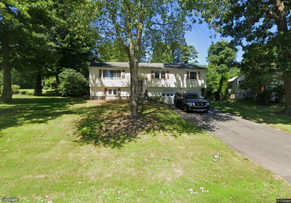
147 Brewster Rd Windsor, CT 06095
West Windsor NeighborhoodEstimated Value: $392,679 - $448,000
4
Beds
3
Baths
1,444
Sq Ft
$293/Sq Ft
Est. Value
About This Home
This home is located at 147 Brewster Rd, Windsor, CT 06095 and is currently estimated at $422,670, approximately $292 per square foot. 147 Brewster Rd is a home located in Hartford County with nearby schools including Oliver Ellsworth School, John F. Kennedy School, and Sage Park Middle School.
Ownership History
Date
Name
Owned For
Owner Type
Purchase Details
Closed on
Oct 1, 1996
Sold by
Gay Clinton and Gay Susan
Bought by
Harris Tara
Current Estimated Value
Purchase Details
Closed on
Mar 10, 1995
Sold by
Heywood Susan
Bought by
Gay Susan and Gay Clinton
Purchase Details
Closed on
Aug 12, 1988
Sold by
Hovanesian J Martin
Bought by
R & R Homes Inc
Create a Home Valuation Report for This Property
The Home Valuation Report is an in-depth analysis detailing your home's value as well as a comparison with similar homes in the area
Home Values in the Area
Average Home Value in this Area
Purchase History
| Date | Buyer | Sale Price | Title Company |
|---|---|---|---|
| Harris Tara | $124,900 | -- | |
| Gay Susan | $134,500 | -- | |
| R & R Homes Inc | $35,000 | -- |
Source: Public Records
Mortgage History
| Date | Status | Borrower | Loan Amount |
|---|---|---|---|
| Open | R & R Homes Inc | $240,000 | |
| Closed | R & R Homes Inc | $180,000 | |
| Closed | R & R Homes Inc | $129,200 |
Source: Public Records
Tax History
| Year | Tax Paid | Tax Assessment Tax Assessment Total Assessment is a certain percentage of the fair market value that is determined by local assessors to be the total taxable value of land and additions on the property. | Land | Improvement |
|---|---|---|---|---|
| 2025 | $6,556 | $230,440 | $61,880 | $168,560 |
| 2024 | $6,987 | $230,440 | $61,880 | $168,560 |
| 2023 | $5,069 | $150,850 | $49,000 | $101,850 |
| 2022 | $5,019 | $150,850 | $49,000 | $101,850 |
| 2021 | $5,019 | $150,850 | $49,000 | $101,850 |
| 2020 | $4,995 | $150,850 | $49,000 | $101,850 |
| 2019 | $4,885 | $150,850 | $49,000 | $101,850 |
| 2018 | $4,815 | $146,090 | $49,000 | $97,090 |
| 2017 | $4,741 | $146,090 | $49,000 | $97,090 |
| 2016 | $4,605 | $146,090 | $49,000 | $97,090 |
| 2015 | $4,517 | $146,090 | $49,000 | $97,090 |
| 2014 | $4,451 | $146,090 | $49,000 | $97,090 |
Source: Public Records
Map
Nearby Homes
- 153 Brewster Rd
- 141 Brewster Rd
- 135 Brewster Rd
- 159 Brewster Rd
- 100 Long Hill Rd
- 96 Long Hill Rd
- 146 Brewster Rd
- 106 Long Hill Rd
- 152 Brewster Rd
- 140 Brewster Rd
- 90 Long Hill Rd
- 129 Brewster Rd
- 158 Brewster Rd
- 165 Brewster Rd
- 112 Long Hill Rd
- 130 Brewster Rd
- 84 Long Hill Rd
- 164 Brewster Rd
- 123 Brewster Rd
- 118 Long Hill Rd
Your Personal Tour Guide
Ask me questions while you tour the home.