147 Brookland Ct Unit 3 Winchester, VA 22602
Estimated Value: $234,000 - $248,000
2
Beds
2
Baths
1,173
Sq Ft
$206/Sq Ft
Est. Value
About This Home
This home is located at 147 Brookland Ct Unit 3, Winchester, VA 22602 and is currently estimated at $242,119, approximately $206 per square foot. 147 Brookland Ct Unit 3 is a home located in Frederick County with nearby schools including Redbud Run Elementary School, James Wood Middle School, and Millbrook High School.
Ownership History
Date
Name
Owned For
Owner Type
Purchase Details
Closed on
Dec 28, 2007
Sold by
Adams Theresa A Domhan
Bought by
Epperson Amanda L
Current Estimated Value
Home Financials for this Owner
Home Financials are based on the most recent Mortgage that was taken out on this home.
Original Mortgage
$147,470
Outstanding Balance
$93,618
Interest Rate
6.27%
Mortgage Type
New Conventional
Estimated Equity
$148,501
Purchase Details
Closed on
Jul 1, 2003
Sold by
Satian Enterprises
Bought by
Domham Adams Theresa
Home Financials for this Owner
Home Financials are based on the most recent Mortgage that was taken out on this home.
Original Mortgage
$106,700
Interest Rate
5.53%
Mortgage Type
FHA
Create a Home Valuation Report for This Property
The Home Valuation Report is an in-depth analysis detailing your home's value as well as a comparison with similar homes in the area
Home Values in the Area
Average Home Value in this Area
Purchase History
| Date | Buyer | Sale Price | Title Company |
|---|---|---|---|
| Epperson Amanda L | $147,470 | -- | |
| Domham Adams Theresa | $110,000 | -- |
Source: Public Records
Mortgage History
| Date | Status | Borrower | Loan Amount |
|---|---|---|---|
| Open | Epperson Amanda L | $147,470 | |
| Previous Owner | Domham Adams Theresa | $106,700 |
Source: Public Records
Tax History Compared to Growth
Tax History
| Year | Tax Paid | Tax Assessment Tax Assessment Total Assessment is a certain percentage of the fair market value that is determined by local assessors to be the total taxable value of land and additions on the property. | Land | Improvement |
|---|---|---|---|---|
| 2025 | $1,056 | $220,100 | $48,000 | $172,100 |
| 2024 | $409 | $160,500 | $32,000 | $128,500 |
| 2023 | $819 | $160,500 | $32,000 | $128,500 |
| 2022 | $822 | $134,700 | $27,000 | $107,700 |
| 2021 | $822 | $134,700 | $27,000 | $107,700 |
| 2020 | $720 | $118,100 | $27,000 | $91,100 |
| 2019 | $720 | $118,100 | $27,000 | $91,100 |
| 2018 | $709 | $116,200 | $27,000 | $89,200 |
| 2017 | $697 | $116,200 | $27,000 | $89,200 |
| 2016 | $650 | $108,300 | $24,500 | $83,800 |
| 2015 | $606 | $108,300 | $24,500 | $83,800 |
| 2014 | $303 | $102,600 | $24,500 | $78,100 |
Source: Public Records
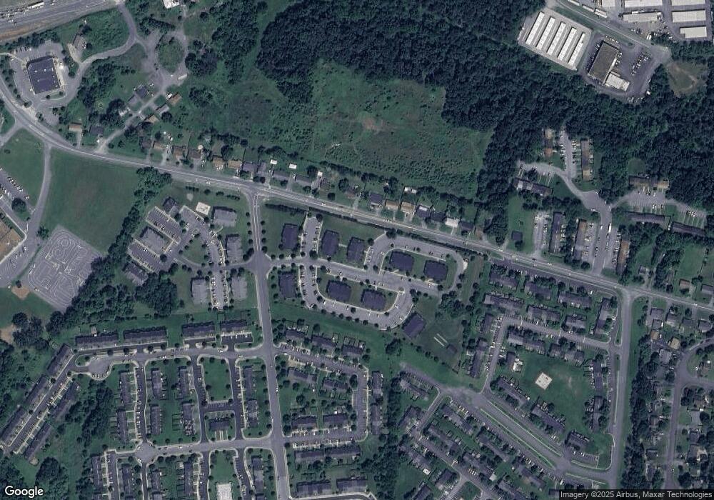
Map
Nearby Homes
- 151 Brookland Terrace Unit 8
- 115 Dairy Corner Place
- 105 Worsham Terrace
- 211 Eastside Ln
- 108 Fenwick Ct
- 206 Eastside Ln
- Homesite 195 Malbec
- 127 Triangle Ct
- 107 Dale Ct
- 109 Jeni Ct
- 124 Triangle Ct
- Homesite 191 Malbec
- 107 Malbec Ct
- 107 Malbec Rd
- Carlisle Plan at Abrams Pointe
- Somerset Plan at Abrams Pointe
- Rockford Plan at Abrams Pointe
- Avalon Plan at Abrams Pointe
- 161 Williamson Rd
- Birmingham Plan at Abrams Pointe
- 147 Brookland Ct Unit 7
- 147 Brookland Ct Unit 6
- 147 Brookland Ct Unit 5
- 147 Brookland Ct
- 147 Brookland Ct Unit 2
- 147 Brookland Ct Unit 1
- 147 Brookland Ct Unit 8
- 147 Brookland 6
- 147 6 Brookland Unit 6
- 147 6 Brookland
- 147 Brookland Court 3
- 123 Brookland Court 3
- 123 Brookland Ct Unit 7
- 123 Brookland Ct
- 123 Brookland Ct
- 123 Brookland Ct Unit 4
- 123 Brookland Ct
- 123 Brookland Ct
- 123 Brookland Ct
- 123 Brookland Ct