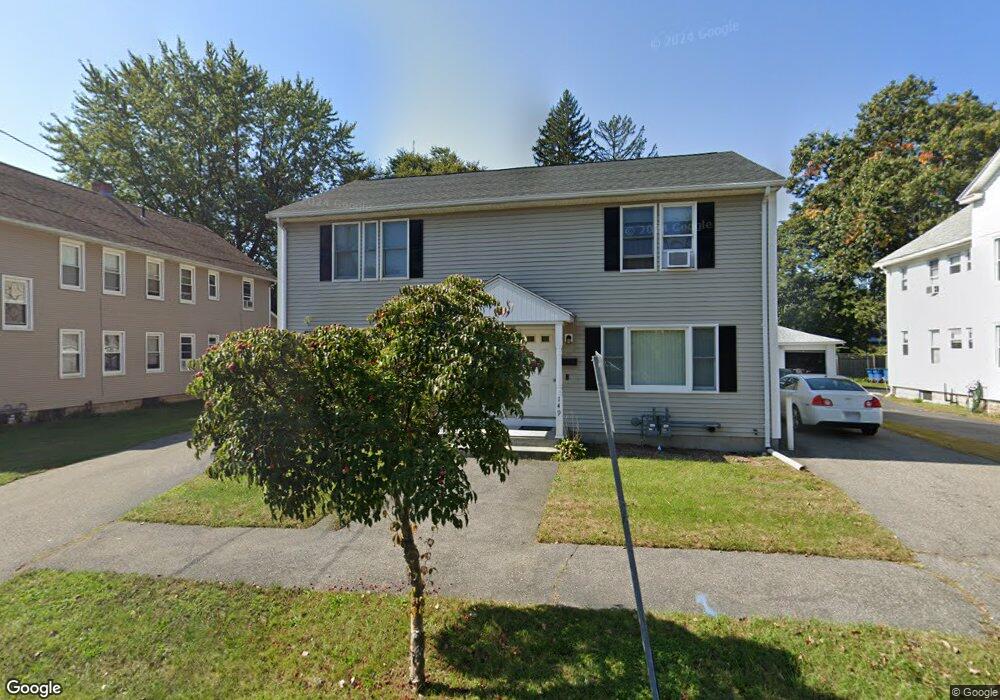
147 Chestnut St Unit 149 West Springfield, MA 01089
Estimated Value: $347,210 - $415,000
4
Beds
3
Baths
1,824
Sq Ft
$207/Sq Ft
Est. Value
About This Home
This home is located at 147 Chestnut St Unit 149, West Springfield, MA 01089 and is currently estimated at $378,303, approximately $207 per square foot. 147 Chestnut St Unit 149 is a home located in Hampden County with nearby schools including Veritas Preparatory Charter School, Hampden Charter School of Science West, and St Thomas The Apostle School.
Ownership History
Date
Name
Owned For
Owner Type
Purchase Details
Closed on
Dec 22, 2021
Sold by
Crum Michael J and Crum Anne L
Bought by
Crum Ft
Current Estimated Value
Purchase Details
Closed on
Sep 24, 2003
Sold by
Morgan Group Llc
Bought by
Crum Anne L and Crum Michael J
Purchase Details
Closed on
Apr 15, 1994
Sold by
Walsh Howard W
Bought by
Taskey John J and Taskey Mary C
Home Financials for this Owner
Home Financials are based on the most recent Mortgage that was taken out on this home.
Original Mortgage
$18,000
Interest Rate
7.45%
Mortgage Type
Purchase Money Mortgage
Purchase Details
Closed on
Dec 13, 1991
Sold by
Crowley Marilyn Y
Bought by
Walsh Warren A and Webster Lorelei A
Create a Home Valuation Report for This Property
The Home Valuation Report is an in-depth analysis detailing your home's value as well as a comparison with similar homes in the area
Home Values in the Area
Average Home Value in this Area
Purchase History
| Date | Buyer | Sale Price | Title Company |
|---|---|---|---|
| Crum Ft | -- | None Available | |
| Crum Anne L | $177,000 | -- | |
| Taskey John J | $30,000 | -- | |
| Walsh Howard W | $50,000 | -- | |
| Walsh Warren A | $2,000 | -- |
Source: Public Records
Mortgage History
| Date | Status | Borrower | Loan Amount |
|---|---|---|---|
| Previous Owner | Walsh Warren A | $80,000 | |
| Previous Owner | Walsh Warren A | $18,000 |
Source: Public Records
Tax History Compared to Growth
Tax History
| Year | Tax Paid | Tax Assessment Tax Assessment Total Assessment is a certain percentage of the fair market value that is determined by local assessors to be the total taxable value of land and additions on the property. | Land | Improvement |
|---|---|---|---|---|
| 2025 | $4,033 | $271,200 | $98,500 | $172,700 |
| 2024 | $4,046 | $273,200 | $98,500 | $174,700 |
| 2023 | $4,033 | $259,500 | $96,300 | $163,200 |
| 2022 | $3,949 | $250,600 | $87,400 | $163,200 |
| 2021 | $3,514 | $207,900 | $80,200 | $127,700 |
| 2020 | $3,532 | $207,900 | $80,200 | $127,700 |
| 2019 | $3,526 | $207,900 | $80,200 | $127,700 |
| 2018 | $3,545 | $207,900 | $80,200 | $127,700 |
| 2017 | $3,545 | $207,900 | $80,200 | $127,700 |
| 2016 | $3,474 | $204,500 | $75,400 | $129,100 |
| 2015 | $3,408 | $200,600 | $74,000 | $126,600 |
| 2014 | $3,292 | $200,600 | $74,000 | $126,600 |
Source: Public Records
Map
Nearby Homes