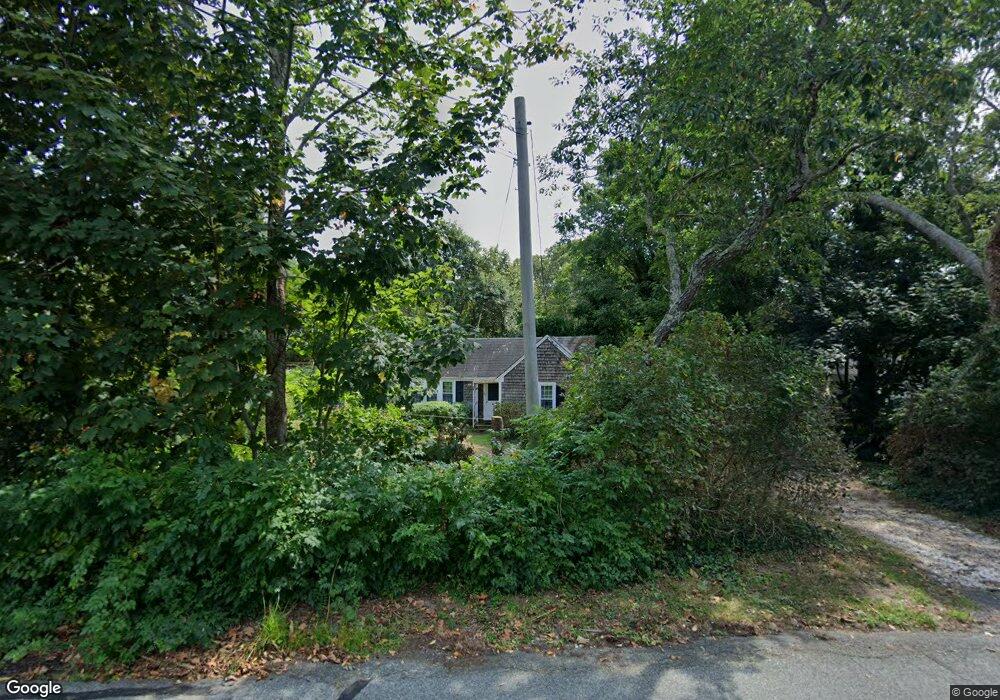
147 Deep Hole Rd Harwich Port, MA 02646
Harwich Port NeighborhoodEstimated Value: $379,000 - $668,000
2
Beds
1
Bath
616
Sq Ft
$843/Sq Ft
Est. Value
About This Home
This home is located at 147 Deep Hole Rd, Harwich Port, MA 02646 and is currently estimated at $519,432, approximately $843 per square foot. 147 Deep Hole Rd is a home located in Barnstable County with nearby schools including Harwich Elementary School, Chatham Elementary School, and Monomoy Regional Middle School.
Ownership History
Date
Name
Owned For
Owner Type
Purchase Details
Closed on
May 9, 2024
Sold by
Mcelhinney Robert and Mcelhinney Linda
Bought by
147 Dhr Tof 2024 and Mcelhinney
Current Estimated Value
Purchase Details
Closed on
Jun 10, 2015
Sold by
Mcelhinney Robert
Bought by
Mcelhinney Robert and Mcelhinney Linda
Purchase Details
Closed on
Dec 14, 1979
Bought by
Mcelhinney Robert and Mcelhinney Linda
Create a Home Valuation Report for This Property
The Home Valuation Report is an in-depth analysis detailing your home's value as well as a comparison with similar homes in the area
Home Values in the Area
Average Home Value in this Area
Purchase History
| Date | Buyer | Sale Price | Title Company |
|---|---|---|---|
| 147 Dhr Tof 2024 | -- | None Available | |
| 147 Dhr Tof 2024 | -- | None Available | |
| Mcelhinney Robert | -- | -- | |
| Mcelhinney Robert | -- | -- | |
| Mcelhinney Robert | -- | -- |
Source: Public Records
Tax History Compared to Growth
Tax History
| Year | Tax Paid | Tax Assessment Tax Assessment Total Assessment is a certain percentage of the fair market value that is determined by local assessors to be the total taxable value of land and additions on the property. | Land | Improvement |
|---|---|---|---|---|
| 2025 | $1,681 | $284,400 | $199,800 | $84,600 |
| 2024 | $1,626 | $269,600 | $188,500 | $81,100 |
| 2023 | $1,602 | $241,200 | $171,300 | $69,900 |
| 2022 | $1,648 | $203,200 | $149,000 | $54,200 |
| 2021 | $1,557 | $181,100 | $135,400 | $45,700 |
| 2020 | $1,544 | $176,900 | $132,600 | $44,300 |
| 2019 | $1,469 | $169,400 | $126,000 | $43,400 |
| 2018 | $1,424 | $157,100 | $114,500 | $42,600 |
| 2017 | $1,312 | $146,300 | $104,400 | $41,900 |
| 2016 | $1,312 | $144,600 | $104,400 | $40,200 |
| 2015 | $1,268 | $141,400 | $102,300 | $39,100 |
| 2014 | -- | $137,700 | $99,200 | $38,500 |
Source: Public Records
Map
Nearby Homes
- 6 Skinequit Pond Rd
- 252 Chatham Rd
- 45 Indian Trail
- 8 Old Wharf Rd
- 19 Deer Run
- 32 Walton Rd
- 1011 Massachusetts 28 Unit C-6
- 92 Julien Rd
- 1011 Route 28 Unit 6
- 6 Marthas Ln
- 29 Windward Walk
- 35 Sterling Rd
- 27 Saquatucket Bluffs Rd
- 34 Sea Mist Ln
- 50 Hillside Rd
- 41 Woodland Rd
- 216 Forest Beach Rd
- 72 Forest Beach Rd
- 72 Forest Beach Rd
- 28 Dale Rd
- 55 Old County Rd
- 55 Old County Rd
- 888 Route 28
- 888 Massachusetts 28
- 269 Chatham Rd
- 56 Old Colony Rd
- 22 Old County Rd
- 0 Alonzo Rd
- 60 Old County Rd
- 2 Alonzo Rd
- 45 Old Colony Rd
- 45 Old County Rd
- 273 Chatham Rd
- 5 Alonzo Rd
- 6 Alonzo Rd
- 43 Old County Rd
- 43 Old County Rd
- 265 Chatham Rd
- 895 Route 28
- 44 Old County Rd