147 Fire Tower Rd Pomfret Center, CT 06259
Estimated Value: $481,000 - $554,000
4
Beds
3
Baths
2,464
Sq Ft
$206/Sq Ft
Est. Value
About This Home
This home is located at 147 Fire Tower Rd, Pomfret Center, CT 06259 and is currently estimated at $507,222, approximately $205 per square foot. 147 Fire Tower Rd is a home located in Windham County with nearby schools including Eastford Elementary School.
Ownership History
Date
Name
Owned For
Owner Type
Purchase Details
Closed on
Sep 13, 2017
Sold by
Hartin Daniel J
Bought by
Pambuku Nicole E
Current Estimated Value
Home Financials for this Owner
Home Financials are based on the most recent Mortgage that was taken out on this home.
Original Mortgage
$230,743
Outstanding Balance
$192,842
Interest Rate
3.93%
Mortgage Type
FHA
Estimated Equity
$314,380
Purchase Details
Closed on
Jul 6, 2010
Sold by
Silva John L
Bought by
Hartin Daniel J
Home Financials for this Owner
Home Financials are based on the most recent Mortgage that was taken out on this home.
Original Mortgage
$187,057
Interest Rate
4.88%
Mortgage Type
Purchase Money Mortgage
Create a Home Valuation Report for This Property
The Home Valuation Report is an in-depth analysis detailing your home's value as well as a comparison with similar homes in the area
Home Values in the Area
Average Home Value in this Area
Purchase History
| Date | Buyer | Sale Price | Title Company |
|---|---|---|---|
| Pambuku Nicole E | $235,000 | -- | |
| Hartin Daniel J | $175,000 | -- |
Source: Public Records
Mortgage History
| Date | Status | Borrower | Loan Amount |
|---|---|---|---|
| Open | Pambuku Nicole E | $230,743 | |
| Previous Owner | Hartin Daniel J | $186,500 | |
| Previous Owner | Hartin Daniel J | $187,057 |
Source: Public Records
Tax History Compared to Growth
Tax History
| Year | Tax Paid | Tax Assessment Tax Assessment Total Assessment is a certain percentage of the fair market value that is determined by local assessors to be the total taxable value of land and additions on the property. | Land | Improvement |
|---|---|---|---|---|
| 2025 | $6,052 | $285,460 | $33,810 | $251,650 |
| 2024 | $5,624 | $285,460 | $33,810 | $251,650 |
| 2023 | $5,094 | $185,230 | $32,000 | $153,230 |
| 2022 | $4,862 | $185,230 | $32,000 | $153,230 |
| 2021 | $4,816 | $185,230 | $32,000 | $153,230 |
| 2020 | $4,744 | $185,230 | $32,000 | $153,230 |
| 2019 | $4,744 | $185,230 | $32,000 | $153,230 |
| 2018 | $4,733 | $181,270 | $29,300 | $151,970 |
| 2017 | $4,733 | $181,270 | $29,300 | $151,970 |
| 2016 | $4,552 | $181,270 | $29,300 | $151,970 |
| 2015 | $4,552 | $181,270 | $29,300 | $151,970 |
| 2014 | $4,495 | $181,270 | $29,300 | $151,970 |
Source: Public Records
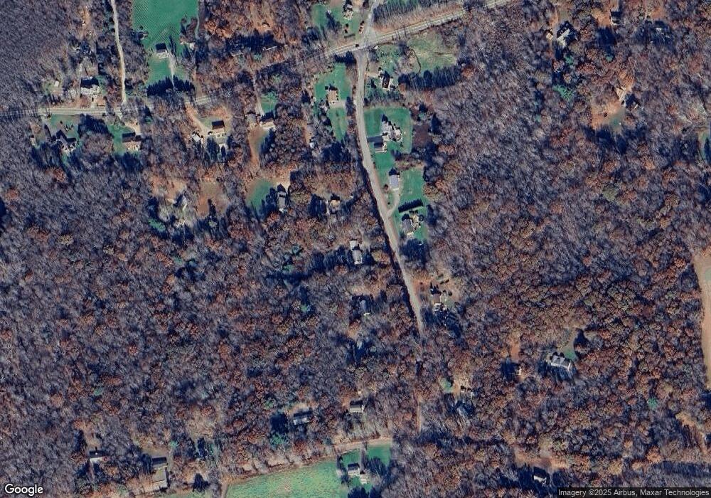
Map
Nearby Homes
- 0 Boston Turnpike
- 698 Brayman Hollow Rd
- 86A County Rd
- 89 John Perry Rd
- 140 Ragged Hill Rd
- 29 General Lyon Rd
- Lot 4A Weeks Rd
- 16 Pilfershire Rd
- 96 Westford Rd
- 00 Pilfershire Rd
- 70 Brayman Hollow Rd
- 815 Mashamoquet Rd
- 402 Perrin Rd
- 5 Nahaco Hill Ln
- 485 Hampton Rd
- 8 Nahaco Hill Ln
- 77 Lakeside Dr
- 00 Mashamoquet Rd
- 145 Perrin Rd
- 60 Indian Spring Rd
- 143 Fire Tower Rd
- 152 Fire Tower Rd
- 139 Fire Tower Rd
- 140 Fire Tower Rd
- 152 Fire Tower Rd
- 121 Boston Turnpike
- 136 Fire Tower Rd
- 162 Fire Tower Rd
- 121 Boston Turnpike
- 113 Boston Turnpike
- 115 Boston Turnpike
- 136 Fire Tower Rd
- 9 Schoolhouse Hill Rd
- 16 Fire Tower Rd
- 5 Abington Rd
- 126 Boston Turnpike
- 122 Fire Tower Rd
- 126 Boston Turnpike
- 153 Fire Tower Rd
- 3 Schoolhouse Rd