147 Fox Trail Westcliffe, CO 81252
Estimated Value: $535,317 - $723,000
About This Home
This home is located at 147 Fox Trail, Westcliffe, CO 81252 and is currently estimated at $632,079, approximately $256 per square foot. 147 Fox Trail is a home located in Custer County with nearby schools including Custer County Elementary School, Custer Middle School, and Custer County High School.
Ownership History
We collect this data history from publicly available records. To have your information removed, we recommend requesting removal directly through your county’s website.
Purchase Details
Purchase Details
Purchase Details
Purchase Details
Home Values in the Area
Average Home Value in this Area
Purchase History
We collect this data history from publicly available records. To have your information removed, we recommend requesting removal directly through your county’s website.
| Date | Buyer | Sale Price | Title Company |
|---|---|---|---|
| -- | None Available | ||
| $320,000 | -- | ||
| $289,000 | -- | ||
| $257,000 | -- |
Tax History
We collect this data history from publicly available records. To have your information removed, we recommend requesting removal directly through your county’s website.
| Year | Tax Paid | Tax Assessment Tax Assessment Total Assessment is a certain percentage of the fair market value that is determined by local assessors to be the total taxable value of land and additions on the property. | Land | Improvement |
|---|---|---|---|---|
| 2025 | $2,161 | $31,960 | $0 | $0 |
| 2024 | $1,950 | $34,630 | $0 | $0 |
| 2023 | $1,950 | $34,630 | $0 | $0 |
| 2022 | $1,731 | $26,860 | $1,910 | $24,950 |
| 2021 | $1,775 | $26,860 | $1,910 | $24,950 |
| 2020 | $1,590 | $24,360 | $1,910 | $22,450 |
| 2019 | $1,582 | $24,360 | $1,910 | $22,450 |
| 2018 | $1,447 | $22,150 | $1,930 | $20,220 |
| 2017 | $1,403 | $22,149 | $1,928 | $20,221 |
| 2016 | $1,476 | $24,260 | $1,520 | $22,740 |
| 2015 | -- | $304,760 | $19,125 | $285,635 |
| 2012 | $1,465 | $309,550 | $19,125 | $290,425 |
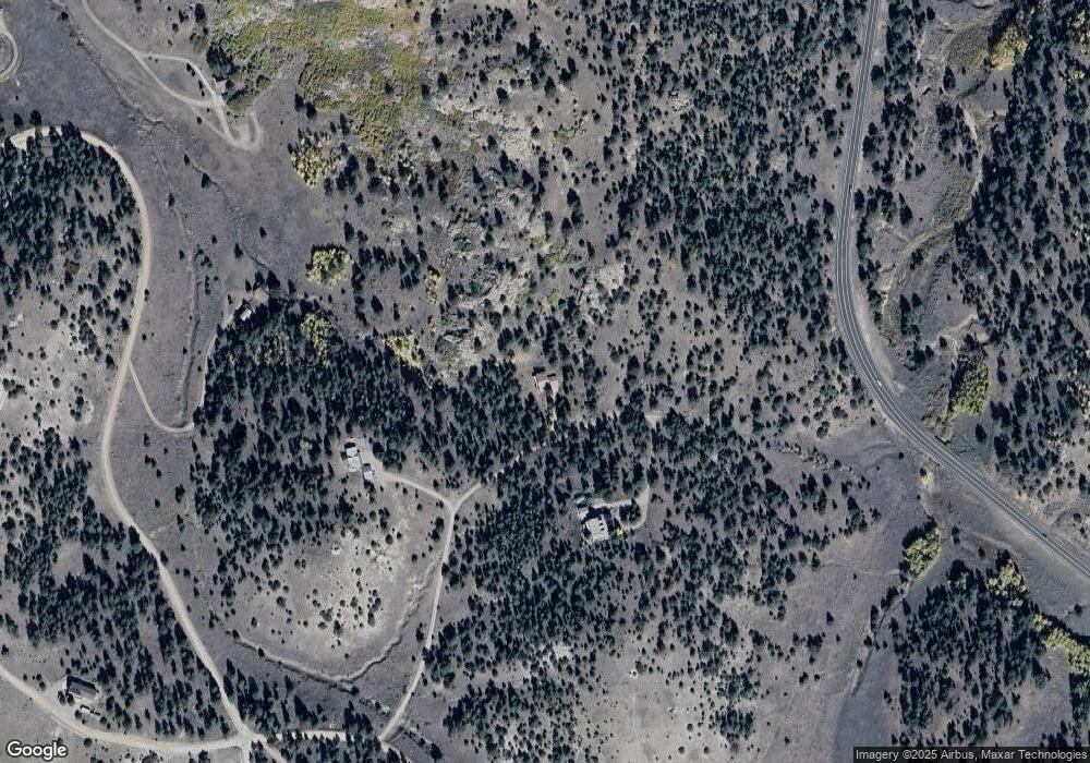
Map
- 5151 County Road 160
- 177 Bunker Hill Cir
- 207 Bunker Hill Rd
- 6920 Highway 96
- 6920 Hwy 96
- 85 Excelsior Rd
- 563 S Kankakee Rd
- 294 Vista de Agua
- 489 Excelsior Rd
- 796 Knickerbocker Rd
- 525 Brush Hollow Rd
- 838 County Road 260
- 881 Vista de Aspen Rd
- 615 4th St
- 680 Ridge Rd
- TBD Derigo Ln
- 1579 County Road 341
- 000 County Road 341
- 2138 County Road 341
- 524 Robinson Rd
- 220 Fox Trail
- 207 Fox Trail
- 238 Bunker Hill Cir
- TBD L4-24 Fox Run
- 110 Tyndall Rd
- 1500 Bunker Hill Cir
- 414 Bunker Hill Cir
- 391 Bunker Hill Cir
- 0 Bunker Hill Cir
- TBD Bunker Hill Cir
- TBD Bunker Hill Cir Unit 9
- 133 Fox Trail
- 70 Brittany Rd
- 85 Vista de Agua Rd
- 5151 County Road 160 Unit 8B
- 5845 State Highway 96
- 70 Brittany Rd Unit 245
- 600 N Coleman Ct
- 600 N Coleman Ct
- 5151 County Road 160
Ask me questions while you tour the home.