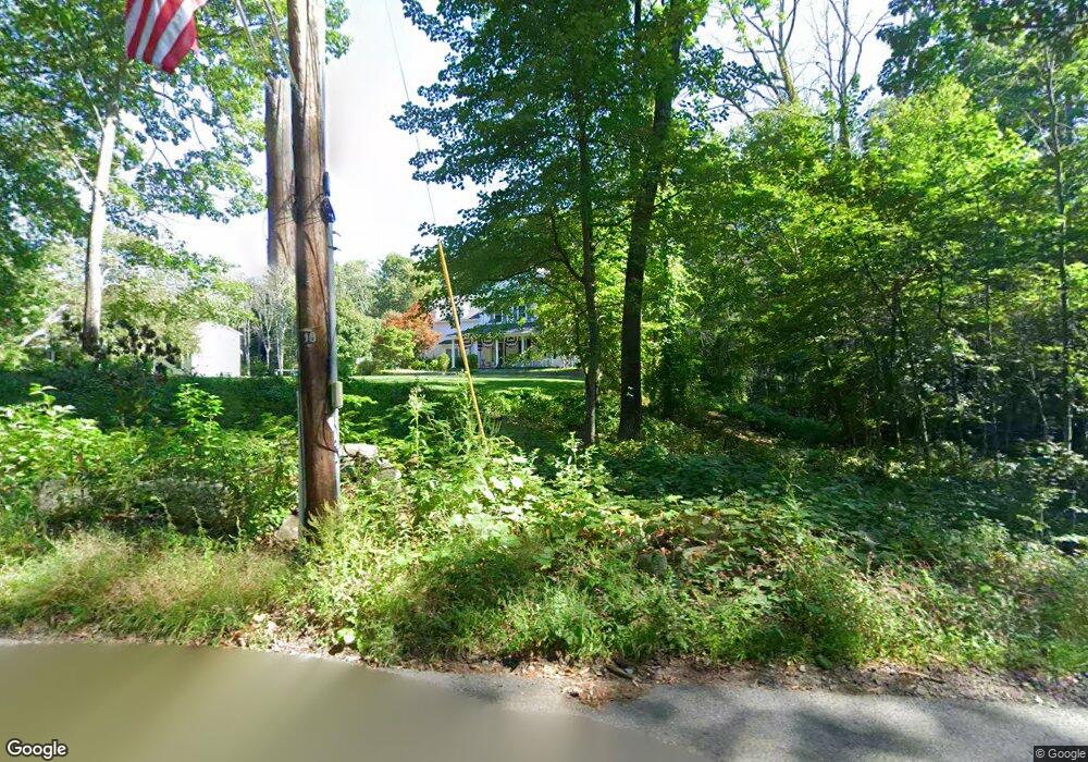
147 Hardy St Dunstable, MA 01827
Estimated Value: $775,000 - $1,209,000
4
Beds
5
Baths
4,967
Sq Ft
$208/Sq Ft
Est. Value
About This Home
This home is located at 147 Hardy St, Dunstable, MA 01827 and is currently estimated at $1,035,066, approximately $208 per square foot. 147 Hardy St is a home located in Middlesex County with nearby schools including Groton Dunstable Regional High School and World Academy.
Ownership History
Date
Name
Owned For
Owner Type
Purchase Details
Closed on
Oct 9, 2019
Sold by
Crandall Jon N
Bought by
Crandall Jon N and Crandall Patricia E
Current Estimated Value
Purchase Details
Closed on
Jul 21, 2008
Sold by
Liberty Rt and Crandall Jon N
Bought by
Crandall Jon N
Home Financials for this Owner
Home Financials are based on the most recent Mortgage that was taken out on this home.
Original Mortgage
$417,000
Interest Rate
6.17%
Mortgage Type
Purchase Money Mortgage
Purchase Details
Closed on
May 26, 2005
Sold by
Gookin Frances Esther and Gookin Frances Esther
Bought by
Liberty Rt and Crandall Jon N
Home Financials for this Owner
Home Financials are based on the most recent Mortgage that was taken out on this home.
Original Mortgage
$442,625
Interest Rate
5.94%
Mortgage Type
Purchase Money Mortgage
Create a Home Valuation Report for This Property
The Home Valuation Report is an in-depth analysis detailing your home's value as well as a comparison with similar homes in the area
Home Values in the Area
Average Home Value in this Area
Purchase History
| Date | Buyer | Sale Price | Title Company |
|---|---|---|---|
| Crandall Jon N | -- | -- | |
| Crandall Jon N | -- | -- | |
| Liberty Rt | $170,625 | -- |
Source: Public Records
Mortgage History
| Date | Status | Borrower | Loan Amount |
|---|---|---|---|
| Previous Owner | Crandall Jon N | $417,000 | |
| Previous Owner | Liberty Rt | $442,625 |
Source: Public Records
Tax History
| Year | Tax Paid | Tax Assessment Tax Assessment Total Assessment is a certain percentage of the fair market value that is determined by local assessors to be the total taxable value of land and additions on the property. | Land | Improvement |
|---|---|---|---|---|
| 2025 | $13,555 | $985,800 | $214,500 | $771,300 |
| 2024 | $13,125 | $940,200 | $209,300 | $730,900 |
| 2023 | $12,915 | $862,700 | $209,300 | $653,400 |
| 2022 | $11,663 | $764,800 | $209,300 | $555,500 |
| 2021 | $11,566 | $704,800 | $185,500 | $519,300 |
| 2020 | $11,375 | $675,500 | $177,300 | $498,200 |
| 2019 | $11,036 | $646,900 | $177,300 | $469,600 |
| 2018 | $10,808 | $616,200 | $176,200 | $440,000 |
| 2017 | $10,306 | $605,500 | $176,200 | $429,300 |
| 2016 | $9,625 | $581,600 | $151,700 | $429,900 |
| 2015 | $9,866 | $589,700 | $148,500 | $441,200 |
| 2014 | $9,300 | $589,700 | $148,500 | $441,200 |
Source: Public Records
Map
Nearby Homes
- 4 Strawberry Bank Rd Unit 12
- 2 Strawberry Bank Rd Unit 17
- 4 Heritage Village Dr
- 6 Green Heron Ln Unit U22
- 38 Georgetown Dr
- 210 Brook Village Rd Unit U43
- 210 Brook Village Rd Unit U38
- 20 Georgetown Dr
- 11 Lojko Dr
- 4 Thorndike St
- 4 Lisa Dr
- 8 Wilderness Dr
- 58 Wilderness Dr
- 65 Wilderness Dr
- 8 Hikers Ln
- 4 Hikers Ln
- 4 Wilderness Dr
- 1 Wilderness Dr
- 79 Wilderness Dr
- 2 Wilderness Dr
Your Personal Tour Guide
Ask me questions while you tour the home.