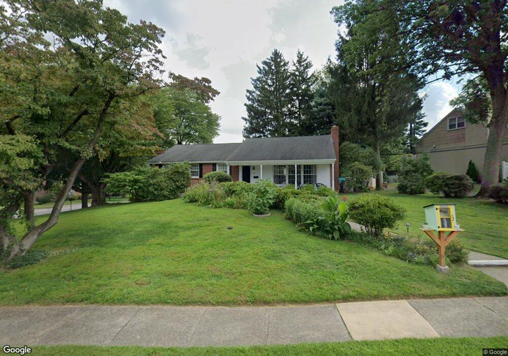
147 Harned Dr Springfield, PA 19064
Estimated Value: $549,986 - $693,000
4
Beds
2
Baths
1,696
Sq Ft
$348/Sq Ft
Est. Value
About This Home
This home is located at 147 Harned Dr, Springfield, PA 19064 and is currently estimated at $589,997, approximately $347 per square foot. 147 Harned Dr is a home located in Delaware County with nearby schools including Springfield High School, St Francis Of Assisi School, and St Dorothy School.
Ownership History
Date
Name
Owned For
Owner Type
Purchase Details
Closed on
Apr 16, 2021
Sold by
Saporetti Matthew R and Saporetti Barbara C
Bought by
Fratamico Davide and Valero Mercedes
Current Estimated Value
Home Financials for this Owner
Home Financials are based on the most recent Mortgage that was taken out on this home.
Original Mortgage
$391,500
Interest Rate
2.9%
Mortgage Type
New Conventional
Purchase Details
Closed on
Aug 29, 1994
Sold by
White Joseph H and White Jean F
Bought by
Saporetti Matthew R and Saporetti Barbara C
Home Financials for this Owner
Home Financials are based on the most recent Mortgage that was taken out on this home.
Original Mortgage
$145,000
Interest Rate
8.44%
Mortgage Type
Purchase Money Mortgage
Create a Home Valuation Report for This Property
The Home Valuation Report is an in-depth analysis detailing your home's value as well as a comparison with similar homes in the area
Home Values in the Area
Average Home Value in this Area
Purchase History
| Date | Buyer | Sale Price | Title Company |
|---|---|---|---|
| Fratamico Davide | $466,000 | Houwzer Title | |
| Saporetti Matthew R | $191,000 | Commonwealth Land Title Ins |
Source: Public Records
Mortgage History
| Date | Status | Borrower | Loan Amount |
|---|---|---|---|
| Previous Owner | Fratamico Davide | $391,500 | |
| Previous Owner | Saporetti Matthew R | $145,000 |
Source: Public Records
Tax History
| Year | Tax Paid | Tax Assessment Tax Assessment Total Assessment is a certain percentage of the fair market value that is determined by local assessors to be the total taxable value of land and additions on the property. | Land | Improvement |
|---|---|---|---|---|
| 2025 | $7,906 | $281,280 | $106,270 | $175,010 |
| 2024 | $7,906 | $281,280 | $106,270 | $175,010 |
| 2023 | $7,613 | $281,280 | $106,270 | $175,010 |
| 2022 | $7,448 | $281,280 | $106,270 | $175,010 |
| 2021 | $11,534 | $281,280 | $106,270 | $175,010 |
| 2020 | $6,870 | $151,600 | $51,090 | $100,510 |
| 2019 | $6,708 | $151,600 | $51,090 | $100,510 |
| 2018 | $6,612 | $151,600 | $0 | $0 |
| 2017 | $6,459 | $151,600 | $0 | $0 |
| 2016 | $832 | $151,600 | $0 | $0 |
| 2015 | $849 | $151,600 | $0 | $0 |
| 2014 | $849 | $151,600 | $0 | $0 |
Source: Public Records
Map
Nearby Homes
- 606 W Springfield Rd
- 501 Flora Cir
- 120 W Springfield Rd
- 111 Forest Rd
- 220 N Rolling Rd
- 147 Snyder Ln
- 19 Wayne Ave
- 29 School Ln
- 412 N Rolling Rd
- 34 Schuyler Rd
- 641 W Sproul Rd
- 226 Lynbrooke Rd
- 31 Wayfield Rd
- 173 Hillview Dr
- 364 S Rolling Rd
- 736 Timber Trail Ln
- 227 E Leamy Ave
- 68 Pilgrim Ln
- 464 Conard Dr
- 332 Franklin Ave
- 147 Harned Rd
- 220 Parkview Dr
- 139 Harned Dr
- 216 Parkview Dr
- 135 Harned Dr
- 223 Parkview Dr
- 232 Parkview Dr
- 146 Harned Dr
- 148 Harned Rd
- 227 Parkview Dr
- 142 Harned Dr
- 219 Parkview Dr
- 138 Harned Dr
- 231 Parkview Dr
- 212 Parkview Dr
- 217 Parkview Dr
- 131 Harned Dr
- 134 Harned Dr
- 235 Parkview Dr
- 145 Grandview Rd
Your Personal Tour Guide
Ask me questions while you tour the home.