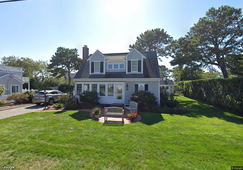
147 Loring Ave West Dennis, MA 02670
West Dennis NeighborhoodEstimated Value: $697,000 - $932,084
2
Beds
1
Bath
896
Sq Ft
$926/Sq Ft
Est. Value
About This Home
This home is located at 147 Loring Ave, West Dennis, MA 02670 and is currently estimated at $830,021, approximately $926 per square foot. 147 Loring Ave is a home located in Barnstable County with nearby schools including Dennis-Yarmouth Regional High School and St. Pius X. School.
Ownership History
Date
Name
Owned For
Owner Type
Purchase Details
Closed on
Oct 23, 2017
Sold by
Mcpherson Joseph F and Mcpherson Anne M
Bought by
Mcpherson Rt
Current Estimated Value
Purchase Details
Closed on
Jan 3, 2005
Sold by
Malloy Joan M and Malloy Thomas J
Bought by
Mcpherson Anne Marie and Mcpherson Joseph F
Purchase Details
Closed on
Oct 11, 1996
Sold by
Smith Harvey
Bought by
Malloy Thomas J and Malloy Joan M
Create a Home Valuation Report for This Property
The Home Valuation Report is an in-depth analysis detailing your home's value as well as a comparison with similar homes in the area
Home Values in the Area
Average Home Value in this Area
Purchase History
| Date | Buyer | Sale Price | Title Company |
|---|---|---|---|
| Mcpherson Rt | -- | -- | |
| Mcpherson Anne Marie | $385,000 | -- | |
| Malloy Thomas J | $1,500,000 | -- |
Source: Public Records
Mortgage History
| Date | Status | Borrower | Loan Amount |
|---|---|---|---|
| Previous Owner | Malloy Thomas J | $244,000 | |
| Previous Owner | Malloy Thomas J | $285,000 |
Source: Public Records
Tax History Compared to Growth
Tax History
| Year | Tax Paid | Tax Assessment Tax Assessment Total Assessment is a certain percentage of the fair market value that is determined by local assessors to be the total taxable value of land and additions on the property. | Land | Improvement |
|---|---|---|---|---|
| 2025 | $3,755 | $867,300 | $390,000 | $477,300 |
| 2024 | $3,361 | $765,600 | $312,500 | $453,100 |
| 2023 | $3,252 | $696,300 | $284,100 | $412,200 |
| 2022 | $3,133 | $559,500 | $255,900 | $303,600 |
| 2021 | $3,095 | $513,300 | $250,900 | $262,400 |
| 2020 | $3,124 | $512,100 | $278,800 | $233,300 |
| 2019 | $2,970 | $481,300 | $273,300 | $208,000 |
| 2018 | $2,755 | $434,600 | $234,200 | $200,400 |
| 2017 | $2,673 | $434,600 | $234,200 | $200,400 |
| 2016 | $2,663 | $407,800 | $239,400 | $168,400 |
| 2015 | $2,610 | $407,800 | $239,400 | $168,400 |
| 2014 | $2,203 | $346,900 | $218,600 | $128,300 |
Source: Public Records
Map
Nearby Homes
- 2 Rita Mary Way
- 14 Schoolhouse Ln
- 209 Main St Unit 3
- 209 Main St Unit 6
- 209 Main St Unit 1
- 209 Main St Unit 2
- 209 Main St Unit 4
- 209 Main St Unit 5
- 178 School St
- 23 Doric Ave
- 308 Old Main St
- 181 Pleasant St
- 401 Main St Unit 201
- 401 Main St Unit 101
- 45 Seth Ln
- 40 Kelley Rd
- 467 Main St
- 29 Bass River Rd
- 22 Powhatan Rd
- 18 Turner Ln
- 151 Loring Ave
- 143 Loring Ave
- 24 Santucket Rd
- 28 Santucket Rd
- 20 Santucket Rd
- 28 Santucket
- 146 Loring Ave
- 142 Loring Ave
- 150 Loring Ave
- 155 Loring Ave
- 139 Loring Ave
- 16 Santucket Rd
- 32 Santucket Rd
- 138 Loring Ave
- 154 Loring Ave
- 0 Loring Ave Unit 20512132
- 0 Loring Ave Unit 2040175
- 0 Loring Ave Unit 33 2031894
- 0 Loring Ave Unit 11506
- 0 Loring Ave Unit 20512620