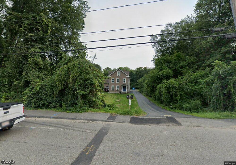
147 Main St Millbury, MA 01527
Estimated Value: $476,000 - $676,000
4
Beds
2
Baths
2,176
Sq Ft
$264/Sq Ft
Est. Value
About This Home
This home is located at 147 Main St, Millbury, MA 01527 and is currently estimated at $574,661, approximately $264 per square foot. 147 Main St is a home located in Worcester County with nearby schools including Elmwood Street Elementary School, Raymond E. Shaw Elementary School, and Millbury Junior/Senior High School.
Ownership History
Date
Name
Owned For
Owner Type
Purchase Details
Closed on
Nov 5, 2009
Sold by
Bac Home Loans Svcng L
Bought by
Coderre Kevin
Current Estimated Value
Purchase Details
Closed on
Aug 5, 2009
Sold by
Greenpoint Mtg Funding and Bangma Julia A
Bought by
Hsbc Bank Usa
Purchase Details
Closed on
Feb 20, 2001
Sold by
Lynch Angelina R
Bought by
Strzelecki Ted C and Bangma Julie A
Create a Home Valuation Report for This Property
The Home Valuation Report is an in-depth analysis detailing your home's value as well as a comparison with similar homes in the area
Home Values in the Area
Average Home Value in this Area
Purchase History
| Date | Buyer | Sale Price | Title Company |
|---|---|---|---|
| Coderre Kevin | $112,000 | -- | |
| Hsbc Bank Usa | $171,000 | -- | |
| Strzelecki Ted C | $115,000 | -- |
Source: Public Records
Mortgage History
| Date | Status | Borrower | Loan Amount |
|---|---|---|---|
| Open | Strzelecki Ted C | $110,000 | |
| Previous Owner | Strzelecki Ted C | $40,000 | |
| Previous Owner | Strzelecki Ted C | $164,000 | |
| Previous Owner | Strzelecki Ted C | $120,000 |
Source: Public Records
Tax History
| Year | Tax Paid | Tax Assessment Tax Assessment Total Assessment is a certain percentage of the fair market value that is determined by local assessors to be the total taxable value of land and additions on the property. | Land | Improvement |
|---|---|---|---|---|
| 2025 | $6,146 | $459,000 | $124,000 | $335,000 |
| 2024 | $5,438 | $411,000 | $114,700 | $296,300 |
| 2023 | $5,136 | $355,400 | $80,200 | $275,200 |
| 2022 | $4,712 | $314,100 | $80,200 | $233,900 |
| 2021 | $4,529 | $293,500 | $80,200 | $213,300 |
| 2020 | $4,443 | $289,800 | $80,200 | $209,600 |
| 2019 | $4,012 | $253,100 | $72,900 | $180,200 |
| 2018 | $5,541 | $232,000 | $72,900 | $159,100 |
| 2017 | $3,840 | $233,700 | $72,900 | $160,800 |
| 2016 | $3,569 | $216,800 | $72,900 | $143,900 |
| 2015 | $3,511 | $213,300 | $77,600 | $135,700 |
| 2014 | $3,442 | $201,300 | $77,600 | $123,700 |
Source: Public Records
Map
Nearby Homes
- 0 Worcester Providence Turnpike
- 18 Lincoln Ave
- 17 Lincoln Ave
- 8 Lincoln Ave
- 37-39 Main St
- 7 Canal St
- 15 Jackson Ln
- 38 W Main St
- 2 Wilson Rd Unit B
- 2 Wilson Rd Unit A
- 0 Auburn Rd
- 124 Worcester Providence Turnpike
- 2 Jessica j Dr
- 4 Jessica j Dr
- 39 Johnson St
- 128 Worcester Providence Turnpike
- 5 Mogren Dr
- 196 Horne Way Unit 196
- 100 Horne Way
- 57 Horne Way Unit 57
Your Personal Tour Guide
Ask me questions while you tour the home.