147 Millstone Way Monroeville, NJ 08343
Estimated Value: $543,326 - $705,000
Studio
--
Bath
2,272
Sq Ft
$267/Sq Ft
Est. Value
About This Home
This home is located at 147 Millstone Way, Monroeville, NJ 08343 and is currently estimated at $607,082, approximately $267 per square foot. 147 Millstone Way is a home located in Gloucester County with nearby schools including Aura Elementary School, Delsea Regional Middle School, and Delsea Regional High School.
Ownership History
Date
Name
Owned For
Owner Type
Purchase Details
Closed on
May 27, 2005
Sold by
Paparone At Hampton Hills Llc
Bought by
Markley Robert S and Markley Marguerite A
Current Estimated Value
Home Financials for this Owner
Home Financials are based on the most recent Mortgage that was taken out on this home.
Original Mortgage
$100,000
Interest Rate
5.59%
Mortgage Type
Fannie Mae Freddie Mac
Create a Home Valuation Report for This Property
The Home Valuation Report is an in-depth analysis detailing your home's value as well as a comparison with similar homes in the area
Home Values in the Area
Average Home Value in this Area
Purchase History
| Date | Buyer | Sale Price | Title Company |
|---|---|---|---|
| Markley Robert S | $332,623 | Parsippanny Stewart Title Ag |
Source: Public Records
Mortgage History
| Date | Status | Borrower | Loan Amount |
|---|---|---|---|
| Previous Owner | Markley Robert S | $100,000 |
Source: Public Records
Tax History
| Year | Tax Paid | Tax Assessment Tax Assessment Total Assessment is a certain percentage of the fair market value that is determined by local assessors to be the total taxable value of land and additions on the property. | Land | Improvement |
|---|---|---|---|---|
| 2025 | $12,022 | $334,400 | $81,900 | $252,500 |
| 2024 | $12,135 | $334,400 | $81,900 | $252,500 |
Source: Public Records
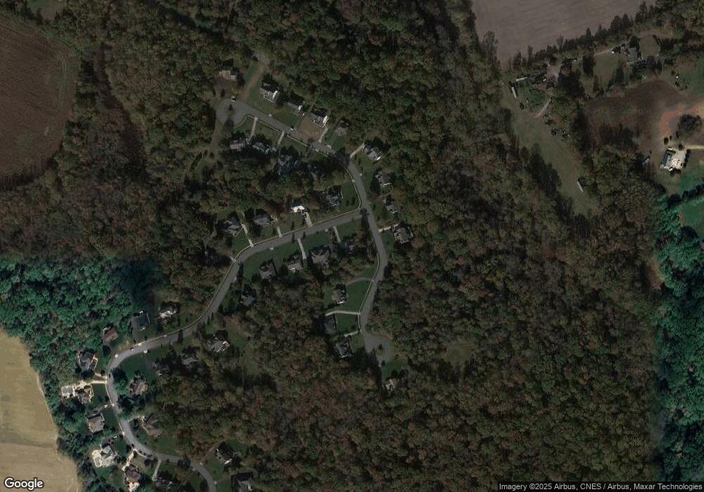
Map
Nearby Homes
- 107 Millstone Way
- 337 Ewan Rd
- 521 Clems Run
- 347 Moods Rd
- 503 Bridgeton Pike
- 589 Hardingville Rd
- 4 Fawn Hollow Ln
- 735 Woodside Dr
- 325 Harrisonville Rd
- 0 Harrisonville Rd Unit NJGL2065976
- 111 Weatherby Ln
- 305 Fislerville Rd
- B. 17 L.6&7.01 Richwood Rd
- 317 Sturgess Ct
- 00 Richwood Road & Williamson Ln
- 140 Weatherby Ln
- 100 Smortz Ln
- 793 Clems Run
- 113 Summit St
- 508 Defrancesco Cir
- 145 Millstone Way
- 222 Grindstone Ct
- 221 Grindstone Ct
- 216 Grindstone Ct
- 219 Grindstone Ct
- 143 Millstone Way
- 217 Grindstone Ct
- 144 Millstone Way
- 224 Grindstone Ct
- 212 Grindstone Ct
- 141 Millstone Way
- 215 Grindstone Ct
- 142 Millstone Way
- 226 Grindstone Ct
- 210 Grindstone Ct
- 139 Millstone Way
- 213 Grindstone Ct
- 211 Grindstone Ct
- 228 Grindstone Ct
- 140 Millstone Way