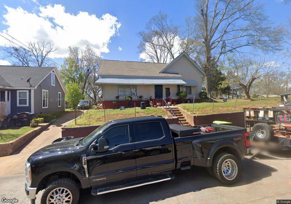
147 N Broad St Cedartown, GA 30125
Estimated Value: $115,000 - $204,000
2
Beds
1
Bath
704
Sq Ft
$255/Sq Ft
Est. Value
About This Home
This home is located at 147 N Broad St, Cedartown, GA 30125 and is currently estimated at $179,609, approximately $255 per square foot. 147 N Broad St is a home located in Polk County with nearby schools including Cedar Christian School.
Ownership History
Date
Name
Owned For
Owner Type
Purchase Details
Closed on
Jun 11, 2020
Sold by
Dawson Darrell E
Bought by
Cordero Bolivar
Current Estimated Value
Purchase Details
Closed on
Oct 25, 2011
Sold by
Mauldin Heath Thomas
Bought by
Kubarek Sandra R
Purchase Details
Closed on
Jan 9, 1997
Sold by
Mitchell Claudie Lee
Bought by
Maulding Robert T
Purchase Details
Closed on
Dec 31, 1996
Sold by
Mitchell Johnny and Mitchell
Bought by
Mitchell Claudie Lee
Purchase Details
Closed on
Jun 7, 1973
Sold by
Jones Wm C
Bought by
Mitchell Claudie Lee
Purchase Details
Closed on
Jan 16, 1961
Bought by
Jones Wm C
Create a Home Valuation Report for This Property
The Home Valuation Report is an in-depth analysis detailing your home's value as well as a comparison with similar homes in the area
Home Values in the Area
Average Home Value in this Area
Purchase History
| Date | Buyer | Sale Price | Title Company |
|---|---|---|---|
| Cordero Bolivar | $45,000 | -- | |
| Kubarek Sandra R | -- | -- | |
| Maulding Robert T | $500 | -- | |
| Mauldin Robert T | $7,500 | -- | |
| Mitchell Claudie Lee | -- | -- | |
| Mitchell Claudie Lee | -- | -- | |
| Jones Wm C | -- | -- |
Source: Public Records
Tax History Compared to Growth
Tax History
| Year | Tax Paid | Tax Assessment Tax Assessment Total Assessment is a certain percentage of the fair market value that is determined by local assessors to be the total taxable value of land and additions on the property. | Land | Improvement |
|---|---|---|---|---|
| 2024 | $3,118 | $98,700 | $2,200 | $96,500 |
| 2023 | $1,819 | $52,483 | $814 | $51,669 |
| 2022 | $1,043 | $43,948 | $814 | $43,134 |
| 2021 | $433 | $43,948 | $814 | $43,134 |
| 2020 | $1,035 | $42,948 | $814 | $42,134 |
| 2019 | $630 | $23,471 | $1,675 | $21,796 |
| 2018 | $620 | $22,497 | $1,435 | $21,062 |
| 2017 | $612 | $22,497 | $1,435 | $21,062 |
| 2016 | $510 | $18,737 | $1,435 | $17,302 |
| 2015 | $511 | $18,737 | $1,435 | $17,302 |
| 2014 | $515 | $18,737 | $1,435 | $17,302 |
Source: Public Records
Map
Nearby Homes
- 254 E Girard Ave
- 208 Highland Ave
- 109 Perry St
- 537 Fletcher St
- 144 Marshall St
- 166 Marshall St
- 328 330 Stubbs
- 1101 East Ave
- 328 Mountain Home Rd
- 601 Mountain Home Rd
- 427 Park St
- 408 N College St
- 214 Victoria Ave
- 217 E Gibson St
- 226 Central St
- 607 N College St
- 421 Wissahickon Ave
- 305 N Cave Spring St