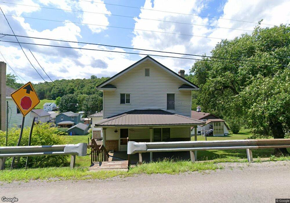
147 N State St Unit 15 Timblin, PA 15778
Estimated Value: $42,000 - $138,000
--
Bed
--
Bath
--
Sq Ft
1
Acres
About This Home
This home is located at 147 N State St Unit 15, Timblin, PA 15778 and is currently estimated at $94,718. 147 N State St Unit 15 is a home located in Jefferson County with nearby schools including Punxsutawney Area High School, Rocky Ridge Amish School, and Windy Hollow Amish School.
Ownership History
Date
Name
Owned For
Owner Type
Purchase Details
Closed on
Oct 10, 2018
Sold by
Adams David S and Adams Jayme L
Bought by
Barnes Gabriel R
Current Estimated Value
Home Financials for this Owner
Home Financials are based on the most recent Mortgage that was taken out on this home.
Original Mortgage
$54,800
Outstanding Balance
$47,991
Interest Rate
4.7%
Mortgage Type
Purchase Money Mortgage
Estimated Equity
$46,727
Create a Home Valuation Report for This Property
The Home Valuation Report is an in-depth analysis detailing your home's value as well as a comparison with similar homes in the area
Home Values in the Area
Average Home Value in this Area
Purchase History
| Date | Buyer | Sale Price | Title Company |
|---|---|---|---|
| Barnes Gabriel R | $56,500 | None Available |
Source: Public Records
Mortgage History
| Date | Status | Borrower | Loan Amount |
|---|---|---|---|
| Open | Barnes Gabriel R | $54,800 |
Source: Public Records
Tax History Compared to Growth
Tax History
| Year | Tax Paid | Tax Assessment Tax Assessment Total Assessment is a certain percentage of the fair market value that is determined by local assessors to be the total taxable value of land and additions on the property. | Land | Improvement |
|---|---|---|---|---|
| 2025 | $106 | $2,610 | $1,430 | $1,180 |
| 2024 | $101 | $2,610 | $1,430 | $1,180 |
| 2023 | $101 | $2,610 | $1,430 | $1,180 |
| 2022 | $103 | $2,610 | $1,430 | $1,180 |
| 2021 | $103 | $2,610 | $1,430 | $1,180 |
| 2020 | $103 | $2,610 | $1,430 | $1,180 |
| 2019 | $103 | $2,610 | $1,430 | $1,180 |
| 2018 | $101 | $2,610 | $1,430 | $1,180 |
| 2017 | $100 | $2,610 | $1,430 | $1,180 |
| 2016 | $99 | $2,610 | $1,430 | $1,180 |
| 2015 | -- | $2,610 | $1,430 | $1,180 |
| 2012 | -- | $5,580 | $1,430 | $4,150 |
Source: Public Records
Map
Nearby Homes
- 2136 Porter Rd
- 1056 Dora Rd
- 217 Salem Rd
- 0 Maple Rd
- 668 Route 536
- 668 Pennsylvania 536
- 680 Route 536
- 561 Pennsylvania 536
- 561 Punxsy Rd
- 00 Lower Mudlic Rd
- 000 Lower Mudlic Rd
- 0 Lower Mudlic Rd
- 176 Boat Launch Rd
- 0 Boat Launch Rd Unit 1694889
- 00 Boat Launch Rd
- 128 S Hawthorne Dr
- 273 Government Rd
- 4239 Brookville St
- 3711 Brookville St
- 319 Farm Rd