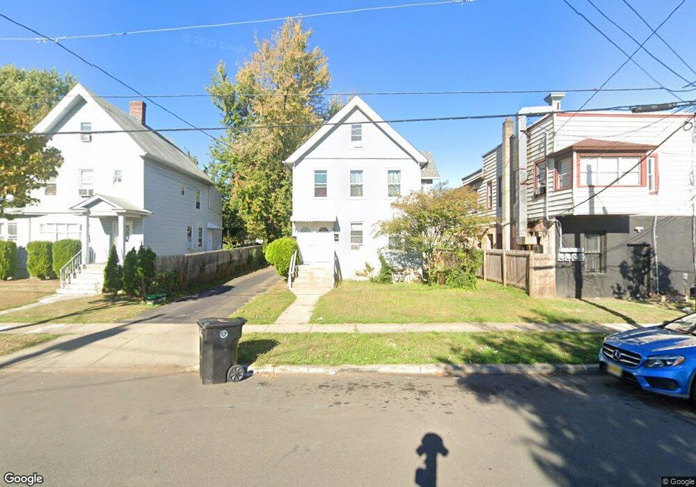
147 Netherwood Ave Unit 49 Plainfield, NJ 07062
Estimated Value: $417,000 - $533,000
--
Bed
--
Bath
1,472
Sq Ft
$309/Sq Ft
Est. Value
About This Home
This home is located at 147 Netherwood Ave Unit 49, Plainfield, NJ 07062 and is currently estimated at $454,796, approximately $308 per square foot. 147 Netherwood Ave Unit 49 is a home located in Union County with nearby schools including Emerson Community School, Maxson Middle School, and Plainfield High School.
Ownership History
Date
Name
Owned For
Owner Type
Purchase Details
Closed on
May 17, 2023
Sold by
Smith Anthony and Smith Agnes
Bought by
147 Netherwood Llc
Current Estimated Value
Purchase Details
Closed on
Apr 7, 1997
Sold by
Mauldin Lindsey Q and Mauldin Joyce E
Bought by
Mauldin Lindsey Q
Purchase Details
Closed on
May 9, 1988
Bought by
Smith Anthony and Smith Agnes
Create a Home Valuation Report for This Property
The Home Valuation Report is an in-depth analysis detailing your home's value as well as a comparison with similar homes in the area
Home Values in the Area
Average Home Value in this Area
Purchase History
| Date | Buyer | Sale Price | Title Company |
|---|---|---|---|
| 147 Netherwood Llc | $345,000 | None Listed On Document | |
| Mauldin Lindsey Q | -- | -- | |
| Smith Anthony | $99,000 | -- |
Source: Public Records
Tax History Compared to Growth
Tax History
| Year | Tax Paid | Tax Assessment Tax Assessment Total Assessment is a certain percentage of the fair market value that is determined by local assessors to be the total taxable value of land and additions on the property. | Land | Improvement |
|---|---|---|---|---|
| 2025 | $6,986 | $80,000 | $38,500 | $41,500 |
| 2024 | $6,917 | $80,000 | $38,500 | $41,500 |
| 2023 | $6,917 | $80,000 | $38,500 | $41,500 |
| 2022 | $6,767 | $80,000 | $38,500 | $41,500 |
| 2021 | $6,708 | $80,000 | $38,500 | $41,500 |
| 2020 | $6,689 | $80,000 | $38,500 | $41,500 |
| 2019 | $6,689 | $80,000 | $38,500 | $41,500 |
| 2018 | $6,549 | $80,000 | $38,500 | $41,500 |
| 2017 | $6,389 | $80,000 | $38,500 | $41,500 |
| 2016 | $6,258 | $80,000 | $38,500 | $41,500 |
| 2015 | $7,197 | $94,800 | $38,500 | $56,300 |
| 2014 | -- | $94,800 | $38,500 | $56,300 |
Source: Public Records
Map
Nearby Homes
- 213 Netherwood Ave Unit 15
- 1123 E 3rd St Unit 25
- 153-55 Leland Ave
- 1206 E 2nd St Unit 8
- 959 E Front St Unit D
- 949 E Front St
- 949 E Front St Unit A
- 125 Leland Ave Unit 27
- 1003 E Front St Unit A
- 14-16 Netherwood Ave
- 358-400 E 2nd St
- 258 Netherwood Ave Unit 60
- 935 E Front St Unit C
- 836 E 2nd St Unit 38
- 116 Sumner Ave Unit 18
- 225 Sumner Ave Unit 27
- 823 E 3rd St Unit 25
- 1243 E Front St Unit 49
- 1254 E Front St
- 808 E 3rd St
- 147-49 Netherwood Ave
- 1101 E 2nd St
- 1101 E 2nd St Unit 1
- 143-45 Netherwood Ave
- 143 Netherwood Ave Unit 45
- 143 Netherwood Ave
- 1103 E 2nd St
- 139 Netherwood Ave Unit 41
- 139-41 Netherwood Ave
- 1115 E 2nd St
- 1115-17 E 2nd St
- 135 Netherwood Ave Unit 37
- 1110 Saint Marks Place Unit 12
- 1119 E 2nd St Unit 21
- 1119-21 E 2nd St
- 1114 Saint Marks Place Unit 16
- 148-50 Netherwood Ave
- 205 Netherwood Ave Unit 7
- 148 Netherwood Ave Unit 50
- 144 Netherwood Ave Unit 46