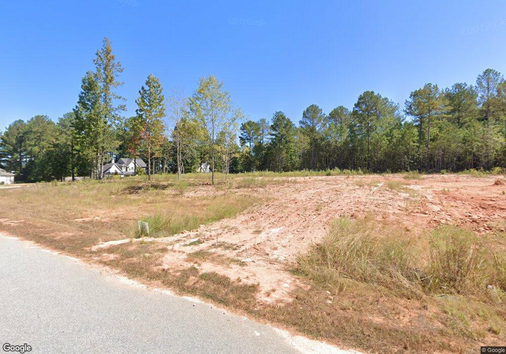
147 Olivia Way Unit LOT 101A Barnesville, GA 30204
Estimated Value: $356,432 - $599,000
3
Beds
2
Baths
1,800
Sq Ft
$238/Sq Ft
Est. Value
About This Home
This home is located at 147 Olivia Way Unit LOT 101A, Barnesville, GA 30204 and is currently estimated at $429,108, approximately $238 per square foot. 147 Olivia Way Unit LOT 101A is a home located in Lamar County with nearby schools including Lamar County Primary School, Lamar County Elementary School, and Lamar County Middle School.
Ownership History
Date
Name
Owned For
Owner Type
Purchase Details
Closed on
Mar 19, 2021
Sold by
James Daniels Homes Inc
Bought by
Scott Connie M and Scott David E
Current Estimated Value
Home Financials for this Owner
Home Financials are based on the most recent Mortgage that was taken out on this home.
Original Mortgage
$244,900
Outstanding Balance
$218,918
Interest Rate
2.8%
Mortgage Type
New Conventional
Estimated Equity
$210,190
Create a Home Valuation Report for This Property
The Home Valuation Report is an in-depth analysis detailing your home's value as well as a comparison with similar homes in the area
Home Values in the Area
Average Home Value in this Area
Purchase History
| Date | Buyer | Sale Price | Title Company |
|---|---|---|---|
| Scott Connie M | $244,900 | -- | |
| James Daniels Homes Inc | -- | -- |
Source: Public Records
Mortgage History
| Date | Status | Borrower | Loan Amount |
|---|---|---|---|
| Open | James Daniels Homes Inc | $244,900 | |
| Closed | Scott Connie M | $244,900 |
Source: Public Records
Tax History Compared to Growth
Tax History
| Year | Tax Paid | Tax Assessment Tax Assessment Total Assessment is a certain percentage of the fair market value that is determined by local assessors to be the total taxable value of land and additions on the property. | Land | Improvement |
|---|---|---|---|---|
| 2025 | $3,065 | $143,907 | $10,000 | $133,907 |
| 2024 | $3,065 | $121,642 | $10,000 | $111,642 |
| 2023 | $3,337 | $122,781 | $10,000 | $112,781 |
| 2022 | $2,652 | $109,634 | $10,000 | $99,634 |
| 2021 | $135 | $4,500 | $4,500 | $0 |
| 2020 | $142 | $4,500 | $4,500 | $0 |
| 2019 | $254 | $8,000 | $8,000 | $0 |
| 2018 | $122 | $4,000 | $4,000 | $0 |
| 2017 | $121 | $4,000 | $4,000 | $0 |
| 2016 | $121 | $4,000 | $4,000 | $0 |
| 2015 | $121 | $4,000 | $4,000 | $0 |
| 2014 | $117 | $4,000 | $4,000 | $0 |
| 2013 | -- | $4,000 | $4,000 | $0 |
Source: Public Records
Map
Nearby Homes
- 507 N Ridge Rd
- 0 Walters Rd Unit TRACT 2
- 0 Walters Rd Unit TRACT 5
- 880 Johnstonville Rd
- 0 Crawford Rd Unit 10611435
- 1242 City Pond Rd
- 239 Walters Rd
- 0 Chappell Mill Rd Unit 10576810
- 0 Veterans Unit 23619323
- 0 Veterans Unit 10429448
- 80 Triple Crown Way
- 121 Triple Crown Way
- LOT 112 Cole Forest Blvd
- 0 Roberts Rd Unit 10593586
- 309 Brinkley Rd
- 277 Cole Forest Blvd
- 0 Bush St Unit 10582678
- 310 Preakness Way
- 0 Hannah St Unit LOT 1 10587177
- V L Silver Dollar Rd
- 123 Olivia Way
- 141 Olivia Way
- 135 Olivia Way Unit LOT 100
- 507 N North Ridge Rd
- 477 Northridge Rd
- 465 Northridge Rd
- 459 Northridge Rd
- 471 Northridge Rd
- 451 Northridge Rd
- 439 Northridge Rd
- 414 Northridge Rd
- 500 Northridge Rd
- 569 Northridge Rd
- 413 Northridge Rd
- 1011 Van Buren Rd
- 427 Northridge Rd
- 961 Van Buren Rd
- 951 Van Buren Rd
- 0 Van Buren Rd Unit 8366220
- 0 Van Buren Rd Unit 8366148