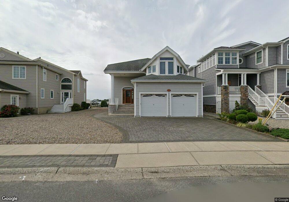
147 Pershing Blvd Lavallette, NJ 08735
Estimated Value: $3,128,116 - $3,911,000
4
Beds
3
Baths
3,136
Sq Ft
$1,163/Sq Ft
Est. Value
About This Home
This home is located at 147 Pershing Blvd, Lavallette, NJ 08735 and is currently estimated at $3,647,029, approximately $1,162 per square foot. 147 Pershing Blvd is a home located in Ocean County with nearby schools including Lavallette Elementary School.
Ownership History
Date
Name
Owned For
Owner Type
Purchase Details
Closed on
Aug 20, 2009
Sold by
Brannigan James and Brannigan Christopher
Bought by
Rea Lucille C
Current Estimated Value
Purchase Details
Closed on
Jul 2, 1998
Sold by
Hendricks Patricia
Bought by
Rea Lucille C
Purchase Details
Closed on
Jun 3, 1997
Sold by
Hendricks Robert E
Bought by
Rea Lucille C
Purchase Details
Closed on
Apr 7, 1997
Sold by
Chiesa Jane
Bought by
Hendricks Robert and Hendricks Patricia
Create a Home Valuation Report for This Property
The Home Valuation Report is an in-depth analysis detailing your home's value as well as a comparison with similar homes in the area
Home Values in the Area
Average Home Value in this Area
Purchase History
| Date | Buyer | Sale Price | Title Company |
|---|---|---|---|
| Rea Lucille C | -- | None Available | |
| Rea Lucille C | -- | -- | |
| Rea Lucille C | $245,000 | -- | |
| Hendricks Robert | $92,778 | -- |
Source: Public Records
Tax History
| Year | Tax Paid | Tax Assessment Tax Assessment Total Assessment is a certain percentage of the fair market value that is determined by local assessors to be the total taxable value of land and additions on the property. | Land | Improvement |
|---|---|---|---|---|
| 2025 | $17,451 | $1,844,700 | $1,255,400 | $589,300 |
| 2024 | $16,934 | $1,844,700 | $1,255,400 | $589,300 |
Source: Public Records
Map
Nearby Homes
- 151 Pershing Blvd
- 153 Pershing Blvd
- 189 Pershing Blvd
- 108 Dickman Dr
- 2202 Bay Blvd
- 47 Pershing Blvd
- 1919 Bay Blvd Unit B37
- 1919 Bay Blvd Unit B29
- 2060 Route 35 S Unit 3
- 1922 Bay Blvd
- 419 Coolidge Ave
- 108 Sea Gull Ln
- 2033 New Jersey 35 Unit 3
- 2030 Route 35 N Unit C
- 2000 New Jersey 35
- 113 New Brunswick Ave
- 1707 Bay Blvd Unit 4
- 1807 Grand Central Ave Unit 2
- 21 Jersey City Ave
- 2 2nd Ave Unit 1
- 145 Pershing Blvd
- 149 Pershing Blvd
- 143 Pershing Blvd
- 141 Pershing Blvd
- 146 Pershing Blvd
- 148 Pershing Blvd
- 144 Pershing Blvd
- 139 Pershing Blvd
- 155 Pershing Blvd
- 150 Pershing Blvd
- 32 Bullard Dr
- 157 Pershing Blvd
- 137 Pershing Blvd
- 152 Pershing Blvd
- 154 Pershing Blvd
- 30 Bullard Dr
- 248 Newark Ave
- 135 Pershing Blvd
- 246 Newark Ave
- 161 Pershing Blvd
Your Personal Tour Guide
Ask me questions while you tour the home.