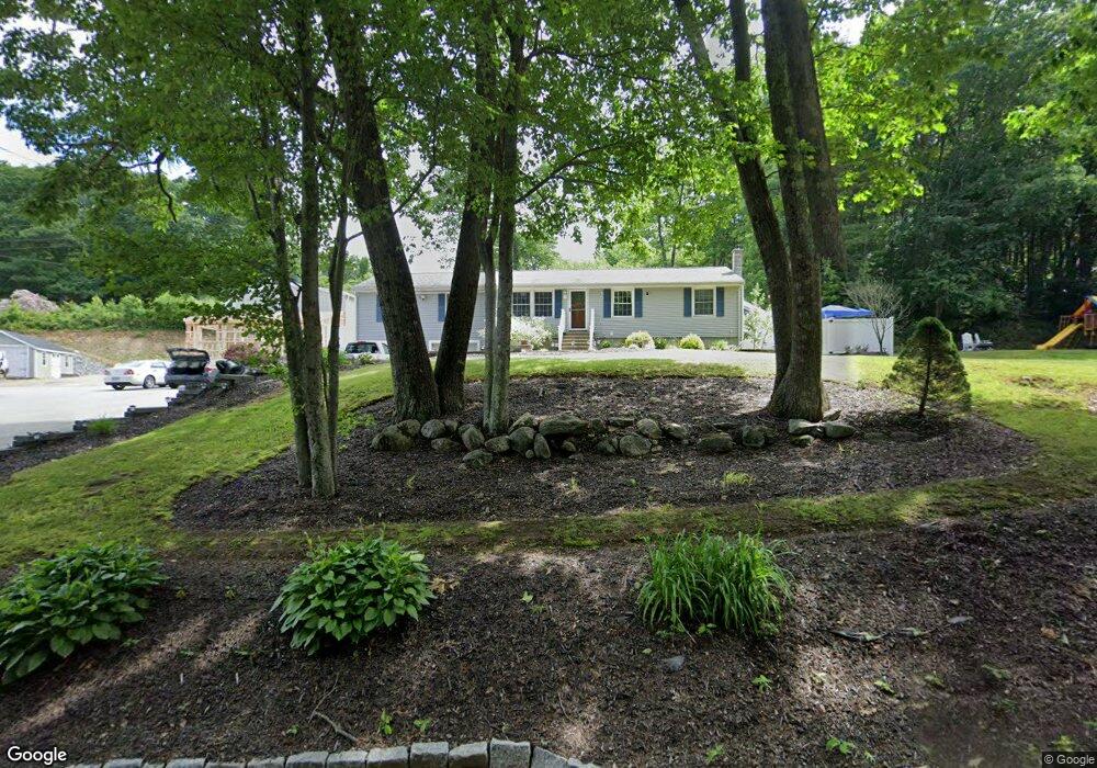
147 Peter Salem Rd Leicester, MA 01524
Estimated Value: $384,000 - $451,417
3
Beds
1
Bath
965
Sq Ft
$426/Sq Ft
Est. Value
About This Home
This home is located at 147 Peter Salem Rd, Leicester, MA 01524 and is currently estimated at $410,854, approximately $425 per square foot. 147 Peter Salem Rd is a home located in Worcester County with nearby schools including Leicester Integrated Preschool, Leicester Memorial Elementary School, and Leicester Middle School.
Ownership History
Date
Name
Owned For
Owner Type
Purchase Details
Closed on
Mar 28, 1995
Sold by
Labranche Bernard and Labranche Kelley
Bought by
Lambert David
Current Estimated Value
Purchase Details
Closed on
Nov 27, 1991
Sold by
Henrich Gary P
Bought by
Labranche Bernard R and Kelley Labranche
Purchase Details
Closed on
Oct 2, 1987
Sold by
Niedzwiec Deborah R
Bought by
Lopez Victor M
Create a Home Valuation Report for This Property
The Home Valuation Report is an in-depth analysis detailing your home's value as well as a comparison with similar homes in the area
Home Values in the Area
Average Home Value in this Area
Purchase History
| Date | Buyer | Sale Price | Title Company |
|---|---|---|---|
| Lambert David | $87,500 | -- | |
| Labranche Bernard R | $90,000 | -- | |
| Lopez Victor M | $112,000 | -- |
Source: Public Records
Mortgage History
| Date | Status | Borrower | Loan Amount |
|---|---|---|---|
| Open | Lopez Victor M | $250,344 | |
| Closed | Lopez Victor M | $150,000 | |
| Closed | Lopez Victor M | $111,300 |
Source: Public Records
Tax History Compared to Growth
Tax History
| Year | Tax Paid | Tax Assessment Tax Assessment Total Assessment is a certain percentage of the fair market value that is determined by local assessors to be the total taxable value of land and additions on the property. | Land | Improvement |
|---|---|---|---|---|
| 2025 | $46 | $391,100 | $80,200 | $310,900 |
| 2024 | $4,408 | $351,200 | $69,400 | $281,800 |
| 2023 | $3,152 | $245,100 | $69,400 | $175,700 |
| 2022 | $3,065 | $219,100 | $66,300 | $152,800 |
| 2021 | $3,232 | $213,600 | $66,300 | $147,300 |
| 2020 | $2,952 | $198,000 | $64,000 | $134,000 |
| 2019 | $2,770 | $183,700 | $57,500 | $126,200 |
| 2018 | $2,693 | $167,400 | $57,500 | $109,900 |
| 2017 | $2,591 | $167,400 | $57,500 | $109,900 |
| 2016 | $2,536 | $170,200 | $71,600 | $98,600 |
| 2015 | $2,475 | $170,200 | $71,600 | $98,600 |
Source: Public Records
Map
Nearby Homes
- 164 Peter Salem Rd
- 6 Pitcairn Ave
- 19 Laurelwood Ave
- 10 Conway Dr
- 473 Pleasant St
- 285 Henshaw St
- 2 Victor Ave
- 75 Huntoon Memorial Hwy Unit 5-10
- 10 Edward St
- 3 Edward St Unit 3
- 135 Henshaw St
- 502 Pine St
- 707 Stafford St
- 657 Pleasant St
- 3 Flagg Dr
- 673 Pleasant St
- 500 Main St
- 68 Pine St
- 80 Rawson St
- 1569 Main St
- 149 Peter Salem Rd
- 150 Peter Salem Rd
- 153 Peter Salem Rd
- 152 Peter Salem Rd
- 155 Peter Salem Rd
- 11 Lexington Ave
- 126 Peter Salem Rd
- 13 Lexington Ave
- 9 Lexington Ave
- 15 Lexington Ave
- 154 Peter Salem Rd
- 7 Lexington Ave
- 5 Bunker Hill Rd
- 3 Bunker Hill Rd
- 5 Lexington Ave
- 1 Bunker Hill Rd
- 7 Bunker Hill Rd
- 156 Peter Salem Rd
- 3 Lexington Ave
- 14 Lexington Ave