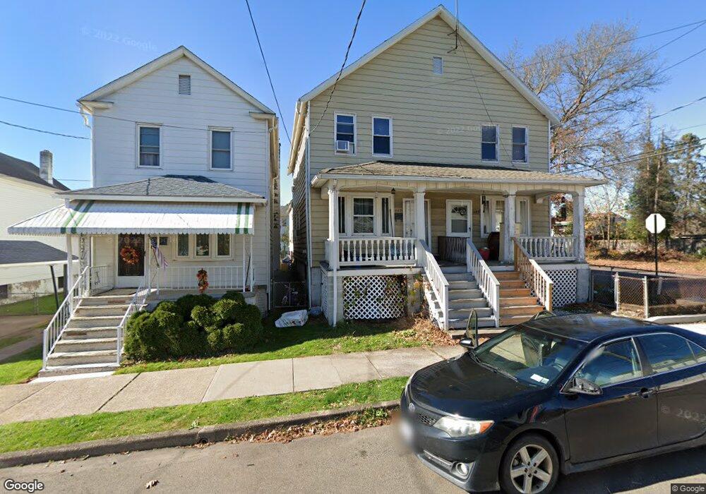
147 Phillip St Nanticoke, PA 18634
Estimated Value: $94,000 - $162,000
--
Bed
--
Bath
2,228
Sq Ft
$58/Sq Ft
Est. Value
About This Home
This home is located at 147 Phillip St, Nanticoke, PA 18634 and is currently estimated at $129,648, approximately $58 per square foot. 147 Phillip St is a home located in Luzerne County with nearby schools including Kennedy Early Childhood Center, Nanticoke Area Elementary Center Center, and Greater Nanticoke Area Senior High School.
Ownership History
Date
Name
Owned For
Owner Type
Purchase Details
Closed on
Feb 21, 2025
Sold by
Croop Leonard A
Bought by
Hj Business Group Pas Llc
Current Estimated Value
Home Financials for this Owner
Home Financials are based on the most recent Mortgage that was taken out on this home.
Original Mortgage
$127,250
Outstanding Balance
$126,715
Interest Rate
6.93%
Mortgage Type
New Conventional
Estimated Equity
$2,933
Purchase Details
Closed on
Apr 28, 1998
Bought by
Croop Leonard A
Create a Home Valuation Report for This Property
The Home Valuation Report is an in-depth analysis detailing your home's value as well as a comparison with similar homes in the area
Home Values in the Area
Average Home Value in this Area
Purchase History
| Date | Buyer | Sale Price | Title Company |
|---|---|---|---|
| Hj Business Group Pas Llc | $95,000 | None Listed On Document | |
| Croop Leonard A | -- | -- |
Source: Public Records
Mortgage History
| Date | Status | Borrower | Loan Amount |
|---|---|---|---|
| Open | Hj Business Group Pas Llc | $127,250 | |
| Previous Owner | Croop Leonard Anthony | $28,300 |
Source: Public Records
Tax History Compared to Growth
Tax History
| Year | Tax Paid | Tax Assessment Tax Assessment Total Assessment is a certain percentage of the fair market value that is determined by local assessors to be the total taxable value of land and additions on the property. | Land | Improvement |
|---|---|---|---|---|
| 2025 | $2,017 | $77,300 | $19,500 | $57,800 |
| 2024 | $2,017 | $77,300 | $19,500 | $57,800 |
| 2023 | $1,989 | $77,300 | $19,500 | $57,800 |
| 2022 | $1,897 | $77,300 | $19,500 | $57,800 |
| 2021 | $1,856 | $77,300 | $19,500 | $57,800 |
| 2020 | $1,856 | $77,300 | $19,500 | $57,800 |
| 2019 | $1,841 | $77,300 | $19,500 | $57,800 |
| 2018 | $1,809 | $77,300 | $19,500 | $57,800 |
| 2017 | $1,776 | $77,300 | $19,500 | $57,800 |
| 2016 | $856 | $77,300 | $19,500 | $57,800 |
| 2015 | -- | $77,300 | $19,500 | $57,800 |
| 2014 | -- | $77,300 | $19,500 | $57,800 |
Source: Public Records
Map
Nearby Homes
- 138 Espy St
- 25 Cherry Dr
- 0 Middle Rd
- 418 E Washington St
- 416 E Washington St
- 246 E Washington St
- 65 W South St
- 0 Enterprise St
- Lot 16 Tomko Ave
- Lot 18 Tomko Ave
- 44.16 Tomko Ave
- 44.16 Acre Tomko Ave
- 34.03 Acre Tomko Ave
- 10.13 Acre Tomko Ave
- 257 E Ridge St
- 24 Varsity Dr
- 23 Varsity Dr
- 22 Varsity Dr
- 21 Brian Place
- 20 Brian Place
- 147 Phillip St
- 147 Phillip St
- 145 Phillip St
- 149 Phillip St
- 139 Phillips St
- 203-205 Phillips St
- 137 Phillip St
- 203 Phillip St
- 148 Phillip St
- 131 Phillip St
- 146 Phillip St
- 150 Phillip St
- 513 Bliss St
- 144 Phillip St
- 132 Phillips St
- 127 Phillip St
- 204 Phillips St
- 204 Phillips St
- 202 Phillip St
- 136 Phillip St