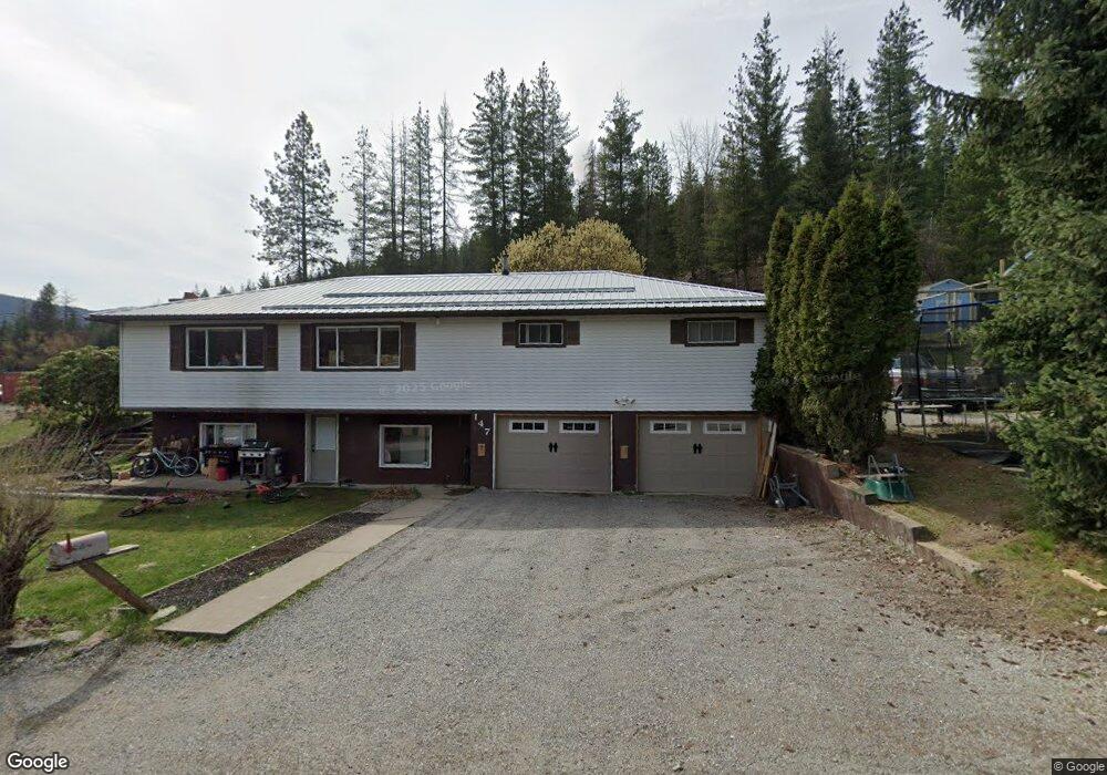
147 Power Ave Kingston, ID 83839
Estimated Value: $436,000 - $575,000
3
Beds
2
Baths
2,478
Sq Ft
$204/Sq Ft
Est. Value
About This Home
This home is located at 147 Power Ave, Kingston, ID 83839 and is currently estimated at $505,758, approximately $204 per square foot. 147 Power Ave is a home with nearby schools including Pinehurst Elementary School, Kellogg Middle School, and Kellogg High School.
Ownership History
Date
Name
Owned For
Owner Type
Purchase Details
Closed on
Dec 15, 2009
Sold by
Bear Jacob A
Bought by
Bear Jacob A and Bear Sylvia L
Current Estimated Value
Purchase Details
Closed on
Jul 16, 2008
Sold by
Bumgardner Earl Daniel and Bumgardner Peggy Lee
Bought by
Bear Jacob A
Home Financials for this Owner
Home Financials are based on the most recent Mortgage that was taken out on this home.
Original Mortgage
$16,000
Outstanding Balance
$7,694
Interest Rate
6.07%
Estimated Equity
$498,064
Create a Home Valuation Report for This Property
The Home Valuation Report is an in-depth analysis detailing your home's value as well as a comparison with similar homes in the area
Home Values in the Area
Average Home Value in this Area
Purchase History
| Date | Buyer | Sale Price | Title Company |
|---|---|---|---|
| Bear Jacob A | -- | -- | |
| Bear Jacob A | -- | -- |
Source: Public Records
Mortgage History
| Date | Status | Borrower | Loan Amount |
|---|---|---|---|
| Open | Bear Jacob A | $16,000 |
Source: Public Records
Tax History Compared to Growth
Tax History
| Year | Tax Paid | Tax Assessment Tax Assessment Total Assessment is a certain percentage of the fair market value that is determined by local assessors to be the total taxable value of land and additions on the property. | Land | Improvement |
|---|---|---|---|---|
| 2025 | $2,287 | $483,241 | $89,862 | $393,379 |
| 2024 | $2,287 | $483,241 | $89,862 | $393,379 |
| 2023 | $2,287 | $488,635 | $89,862 | $398,773 |
| 2022 | $2,748 | $438,227 | $77,913 | $360,314 |
| 2021 | $2,248 | $301,557 | $55,489 | $246,068 |
| 2020 | $1,830 | $240,286 | $51,517 | $188,769 |
| 2019 | $1,411 | $197,396 | $39,864 | $157,532 |
| 2018 | $1,254 | $155,742 | $39,864 | $115,878 |
| 2017 | $1,249 | $155,742 | $39,864 | $115,878 |
| 2016 | $1,251 | $149,534 | $39,864 | $109,670 |
| 2015 | -- | $148,434 | $38,764 | $109,670 |
| 2014 | -- | $120,093 | $38,763 | $81,330 |
Source: Public Records
Map
Nearby Homes
- 317 Power Ave
- 140 Wright
- 754 Paradise Ln
- 505 Wyoming St
- 506 Lewiston Ave
- 502 Lewiston Ave
- 63 Reinoehl Rd
- 205 Kellogg Ave
- 305 1st
- 205 Reinoehl Rd
- 205 Birch Rd
- 102 Pine Ave
- 301 Woodland Dr
- 307 Woodland Dr
- NKA Riverview
- 821 Country Club Ln
- 3 Elsie Peak Ct Unit 3
- 99 Lookout Peak Dr
- 1 Elsie Peak Ct Unit B1, BLDG B
- Lot 2 of the Replat of Lot 2 Blk 1
- 169 Power Ave
- 111 Power Ave
- 85 Electric Ave
- 71 Electric St
- 110 Serenity Loop
- 53 Electric Ave
- 95 Power Ave
- 123 Electric Ave
- 183 Serenity Loop
- 17 Electric Ave
- 130 Serenity Loop
- 15 Copper St
- 64 Access Rd
- 41 Shiplett Ave
- 17 Shiplett Ave
- 36 Access Rd
- 63 Shiplett Rd
- 118 Electric Ave
- 63 Shiplett Ave
- 185 Serenity Loop