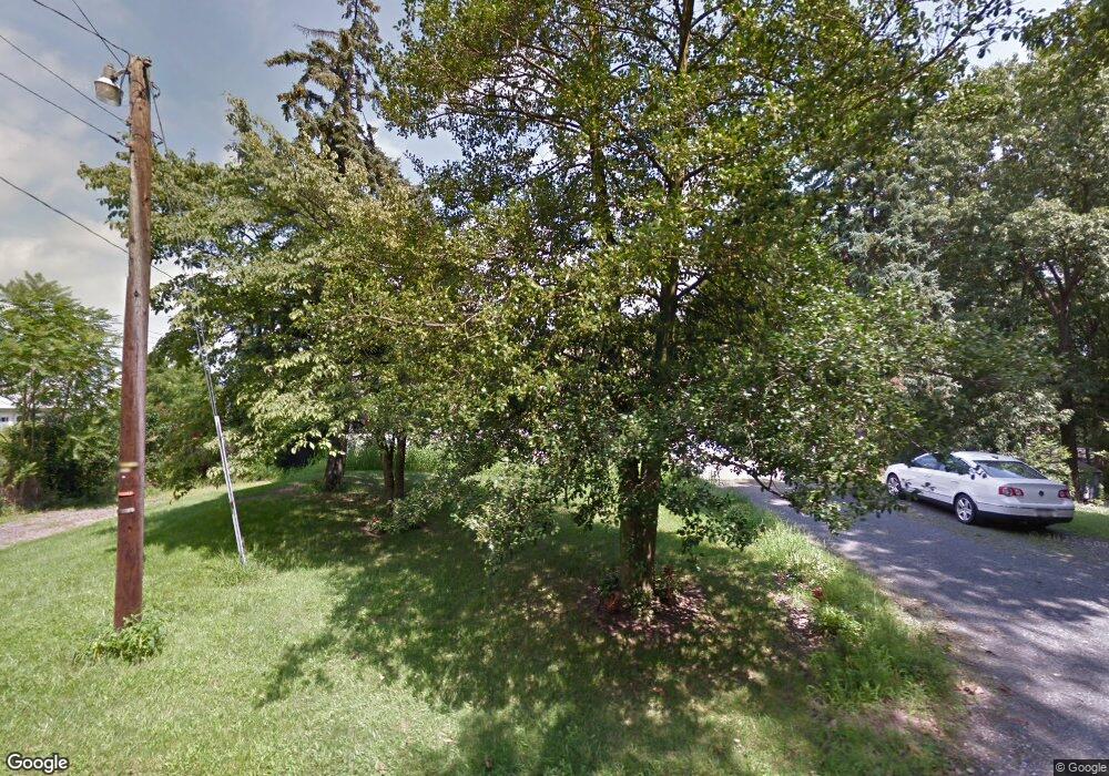
147 Rick Rd Boyertown, PA 19512
Estimated Value: $282,000 - $508,000
3
Beds
2
Baths
1,092
Sq Ft
$345/Sq Ft
Est. Value
About This Home
This home is located at 147 Rick Rd, Boyertown, PA 19512 and is currently estimated at $376,219, approximately $344 per square foot. 147 Rick Rd is a home located in Montgomery County with nearby schools including Boyertown Area Senior High School.
Ownership History
Date
Name
Owned For
Owner Type
Purchase Details
Closed on
Jul 18, 2003
Sold by
Orr Scott D
Bought by
Reitz Edward O
Current Estimated Value
Purchase Details
Closed on
Jul 17, 2002
Sold by
Washington Mutual Bank
Bought by
Orr Scott D
Purchase Details
Closed on
Mar 19, 2002
Sold by
Durante John P
Bought by
Washington Mutual Bank Fa
Purchase Details
Closed on
Mar 31, 2000
Sold by
Ruda Ruth and Dipietro Ronald R
Bought by
Genery Gregory and Genery Wanda
Purchase Details
Closed on
Aug 7, 1998
Sold by
Criblear Barry and Criblear Judy
Bought by
Ruda Ruth
Create a Home Valuation Report for This Property
The Home Valuation Report is an in-depth analysis detailing your home's value as well as a comparison with similar homes in the area
Home Values in the Area
Average Home Value in this Area
Purchase History
| Date | Buyer | Sale Price | Title Company |
|---|---|---|---|
| Reitz Edward O | $170,000 | -- | |
| Orr Scott D | $122,000 | -- | |
| Washington Mutual Bank Fa | $1,247 | -- | |
| Genery Gregory | $140,250 | -- | |
| Ruda Ruth | $154,000 | -- |
Source: Public Records
Tax History Compared to Growth
Tax History
| Year | Tax Paid | Tax Assessment Tax Assessment Total Assessment is a certain percentage of the fair market value that is determined by local assessors to be the total taxable value of land and additions on the property. | Land | Improvement |
|---|---|---|---|---|
| 2025 | $5,032 | $127,410 | $47,440 | $79,970 |
| 2024 | $5,032 | $127,410 | $47,440 | $79,970 |
| 2023 | $4,784 | $127,410 | $47,440 | $79,970 |
| 2022 | $4,633 | $127,410 | $47,440 | $79,970 |
| 2021 | $4,488 | $127,410 | $47,440 | $79,970 |
| 2020 | $4,266 | $127,410 | $47,440 | $79,970 |
| 2019 | $4,143 | $127,410 | $47,440 | $79,970 |
| 2018 | $720 | $127,410 | $47,440 | $79,970 |
| 2017 | $3,812 | $127,410 | $47,440 | $79,970 |
| 2016 | $3,762 | $127,410 | $47,440 | $79,970 |
| 2015 | $3,710 | $127,410 | $47,440 | $79,970 |
| 2014 | $3,584 | $127,410 | $47,440 | $79,970 |
Source: Public Records
Map
Nearby Homes
- 937 Swinehart Rd Unit C
- 937 Swinehart Rd Unit B
- 937 Swinehart Rd Unit A
- 213 Cross Rd
- 862 Englesville Hill Rd
- 29 Stafford Square
- 290 Buchert Rd Unit 1
- 286 Buchert Rd
- 288 Buchert Rd Unit 2
- 305 Summer Hill Dr
- 32 Greshville Rd
- 278 Haven Dr
- 284 Haven Dr
- 290 Haven Dr
- 296 Haven Dr
- 302 Haven Dr
- 318 Haven Dr
- Laurel Plan at Pottsgrove Hunt - 55+
- NEUVILLE Plan at Pottsgrove Hunt - 55+
- Lismore Plan at Pottsgrove Hunt - 55+
- 110 Rick Rd
- 137 Rick Rd
- 146 Rick Rd
- 152 Rick Rd
- 153 Rick Rd Unit HOUSE & BARN
- 153 Rick Rd
- 153 Rick Rd Unit BARN
- 140 Rick Rd
- 114 Hillside Dr
- 158 Rick Rd
- 133 Rick Rd
- 139 Rick Rd
- 139 Rick Rd
- 128 Hillside Dr
- 1001 Sweinhart Rd
- 951 Sweinhart Rd
- 951 Swinehart Rd
- 937 Sweinhart Rd
- 937 Swinehart Rd
- 125 Rick Rd
