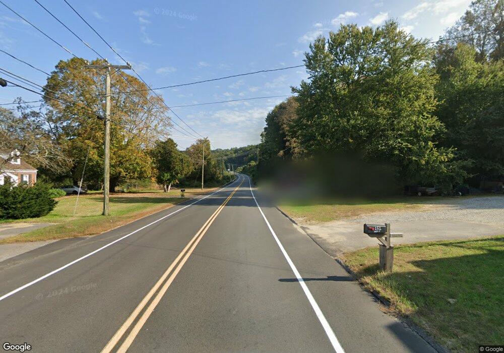
147 Route 66 E Columbia, CT 06237
Estimated Value: $253,544 - $290,000
3
Beds
1
Bath
1,152
Sq Ft
$235/Sq Ft
Est. Value
About This Home
This home is located at 147 Route 66 E, Columbia, CT 06237 and is currently estimated at $270,886, approximately $235 per square foot. 147 Route 66 E is a home located in Tolland County with nearby schools including Horace W. Porter School, St Mary St Joseph School, and Oak Grove Montessori School.
Ownership History
Date
Name
Owned For
Owner Type
Purchase Details
Closed on
Apr 18, 2005
Sold by
Walker John
Bought by
Kost Maria
Current Estimated Value
Purchase Details
Closed on
Dec 15, 2004
Sold by
Department Of Housing & Urban Dev
Bought by
Walker John
Purchase Details
Closed on
May 10, 2002
Sold by
Anikienko Guthrie
Bought by
Logan Julian
Purchase Details
Closed on
Jun 22, 2000
Sold by
Paradis Michael and Paradis Diane
Bought by
Anikienko Guthrie
Create a Home Valuation Report for This Property
The Home Valuation Report is an in-depth analysis detailing your home's value as well as a comparison with similar homes in the area
Home Values in the Area
Average Home Value in this Area
Purchase History
| Date | Buyer | Sale Price | Title Company |
|---|---|---|---|
| Kost Maria | $152,000 | -- | |
| Walker John | $93,600 | -- | |
| Logan Julian | $95,294 | -- | |
| Anikienko Guthrie | $87,500 | -- |
Source: Public Records
Mortgage History
| Date | Status | Borrower | Loan Amount |
|---|---|---|---|
| Open | Anikienko Guthrie | $190,986 | |
| Closed | Anikienko Guthrie | $197,417 |
Source: Public Records
Tax History
| Year | Tax Paid | Tax Assessment Tax Assessment Total Assessment is a certain percentage of the fair market value that is determined by local assessors to be the total taxable value of land and additions on the property. | Land | Improvement |
|---|---|---|---|---|
| 2025 | $2,832 | $96,740 | $29,540 | $67,200 |
| 2024 | $2,720 | $96,740 | $29,540 | $67,200 |
| 2023 | $2,507 | $96,740 | $29,540 | $67,200 |
| 2022 | $2,503 | $96,740 | $29,540 | $67,200 |
| 2021 | $2,795 | $95,300 | $29,900 | $65,400 |
| 2020 | $2,795 | $95,300 | $29,900 | $65,400 |
| 2019 | $2,795 | $95,300 | $29,900 | $65,400 |
| 2018 | $2,795 | $95,300 | $29,900 | $65,400 |
| 2017 | $2,752 | $95,300 | $29,900 | $65,400 |
| 2016 | $2,730 | $99,500 | $29,900 | $69,600 |
| 2015 | $2,699 | $99,500 | $29,900 | $69,600 |
| 2014 | $2,699 | $99,500 | $29,900 | $69,600 |
Source: Public Records
Map
Nearby Homes
- 172 Old Willimantic Rd
- 0 Chowanec Rd
- 23 Thompson Hill Rd
- 811 Pucker St
- 33 Oak Dr
- 60 Highland Rd
- 5 Kathleen Dr
- 127 U S 6
- 174 Mansfield Ave
- 58 Candide Ln
- 106 S Street Extension
- 5 Charles St
- 103 S Street Extension
- 335 Pleasant St
- 125 Mountain St
- 457 Stafford Rd
- 9 Sheffield Dr
- 129 Walnut St
- 73 Spring St
- 41 Spring St
- 156 Route 66 E
- 150 Route 66 E
- 174 Route 66 E
- 172 Route 66 E
- 110 Route 66 E
- 151 Route 66 E
- 155 Route 66 E
- 152 Route 66 E
- 163 Connecticut 66
- 163 Route 66 E
- 133 Old Willimantic Rd
- 5 Colonial Dr
- 344 Kings Rd
- 117 Connecticut 66
- 304 Kings Rd
- 7 Colonial Dr
- 7A Colonial Dr
- 135 Old Willimantic Rd
- 187 Route 66 E
Your Personal Tour Guide
Ask me questions while you tour the home.