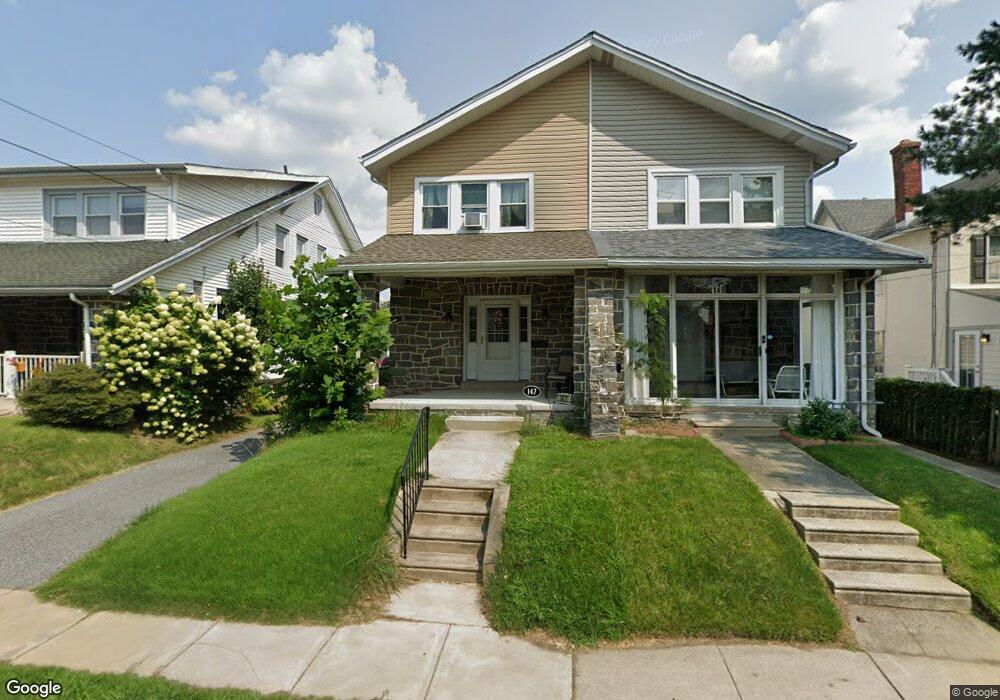
147 S Eagle Rd Havertown, PA 19083
Estimated Value: $371,000 - $395,000
3
Beds
1
Bath
1,280
Sq Ft
$298/Sq Ft
Est. Value
About This Home
This home is located at 147 S Eagle Rd, Havertown, PA 19083 and is currently estimated at $381,256, approximately $297 per square foot. 147 S Eagle Rd is a home located in Delaware County with nearby schools including Manoa Elementary School, Haverford Middle School, and Haverford Senior High School.
Ownership History
Date
Name
Owned For
Owner Type
Purchase Details
Closed on
Apr 8, 2003
Sold by
Cullin Brian F and Cullin Barbara
Bought by
Cullin Barbara
Current Estimated Value
Purchase Details
Closed on
Jan 27, 1999
Sold by
Donovan Hall Anne T
Bought by
Cullin Brian F and Cullin Barbara
Home Financials for this Owner
Home Financials are based on the most recent Mortgage that was taken out on this home.
Original Mortgage
$99,206
Outstanding Balance
$23,481
Interest Rate
6.74%
Mortgage Type
FHA
Estimated Equity
$357,775
Purchase Details
Closed on
Sep 10, 1998
Sold by
Hall James R and Donovan Hall Anne T
Bought by
Donovan Hall Anne T
Home Financials for this Owner
Home Financials are based on the most recent Mortgage that was taken out on this home.
Original Mortgage
$83,200
Interest Rate
6.9%
Create a Home Valuation Report for This Property
The Home Valuation Report is an in-depth analysis detailing your home's value as well as a comparison with similar homes in the area
Home Values in the Area
Average Home Value in this Area
Purchase History
| Date | Buyer | Sale Price | Title Company |
|---|---|---|---|
| Cullin Barbara | $1,500 | -- | |
| Cullin Brian F | $105,000 | Commonwealth Land Title Ins | |
| Donovan Hall Anne T | -- | T A Title Insurance Company |
Source: Public Records
Mortgage History
| Date | Status | Borrower | Loan Amount |
|---|---|---|---|
| Open | Cullin Brian F | $99,206 | |
| Previous Owner | Donovan Hall Anne T | $83,200 |
Source: Public Records
Tax History
| Year | Tax Paid | Tax Assessment Tax Assessment Total Assessment is a certain percentage of the fair market value that is determined by local assessors to be the total taxable value of land and additions on the property. | Land | Improvement |
|---|---|---|---|---|
| 2025 | $5,445 | $211,770 | $83,600 | $128,170 |
| 2024 | $5,445 | $211,770 | $83,600 | $128,170 |
| 2023 | $5,290 | $211,770 | $83,600 | $128,170 |
| 2022 | $5,167 | $211,770 | $83,600 | $128,170 |
| 2021 | $8,417 | $211,770 | $83,600 | $128,170 |
| 2020 | $4,734 | $101,850 | $49,410 | $52,440 |
| 2019 | $4,647 | $101,850 | $49,410 | $52,440 |
| 2018 | $4,567 | $101,850 | $0 | $0 |
| 2017 | $4,470 | $101,850 | $0 | $0 |
| 2016 | $559 | $101,850 | $0 | $0 |
| 2015 | $559 | $101,850 | $0 | $0 |
| 2014 | $559 | $101,850 | $0 | $0 |
Source: Public Records
Map
Nearby Homes
- 636 S Eagle Rd
- 113 Glendale Rd
- 12 Claremont Blvd
- 10 Claremont Blvd
- 42 Colonial Dr
- 1950 W Chester Pike
- 530 Grand Ave
- 208 N Morgan Ave
- 1529 Brierwood Rd
- 400 Glendale Rd Unit D33
- 400 Glendale Rd Unit A 54
- 400 Glendale Rd Unit G33
- 400 Glendale Rd Unit J13
- 540 Country Club Ln
- 133 Clamar Ave
- 85 Rodmor Rd
- 1313 Roosevelt Ave
- 204 N Belfield Ave
- 113 James Dr
- 229 Glen Ridge Rd
- 145 S Eagle Rd
- 149 S Eagle Rd
- 143 S Eagle Rd
- 141 S Eagle Rd
- 220 S Manoa Rd
- 222 S Manoa Rd
- 139 S Eagle Rd
- 218 S Manoa Rd
- 217 Stanley Ave
- 137 S Eagle Rd
- 216 S Manoa Rd
- 215 Stanley Ave
- 135 S Eagle Rd
- 214 S Manoa Rd
- 142 S Eagle Rd
- 212 S Manoa Rd
- 211 Stanley Ave
- 150 S Eagle Rd
- 146 S Eagle Rd
- 154 S Eagle Rd
Your Personal Tour Guide
Ask me questions while you tour the home.