147 Scott Rd Perkasie, PA 18944
Estimated Value: $578,000 - $1,091,075
Studio
2
Baths
3,057
Sq Ft
$288/Sq Ft
Est. Value
About This Home
This home is located at 147 Scott Rd, Perkasie, PA 18944 and is currently estimated at $881,358, approximately $288 per square foot. 147 Scott Rd is a home located in Bucks County with nearby schools including Pennridge High School.
Ownership History
Date
Name
Owned For
Owner Type
Purchase Details
Closed on
Dec 10, 2019
Sold by
Heacock Joanne and Bodder Harold W
Bought by
Heacock Jamie T and Heacock Sharon R
Current Estimated Value
Home Financials for this Owner
Home Financials are based on the most recent Mortgage that was taken out on this home.
Original Mortgage
$536,000
Interest Rate
3.7%
Mortgage Type
Future Advance Clause Open End Mortgage
Purchase Details
Closed on
Feb 1, 1990
Sold by
Bodder
Bought by
Bodder Harold W and Bodder Flora M
Purchase Details
Closed on
Mar 12, 1959
Bought by
Bodder
Create a Home Valuation Report for This Property
The Home Valuation Report is an in-depth analysis detailing your home's value as well as a comparison with similar homes in the area
Home Values in the Area
Average Home Value in this Area
Purchase History
| Date | Buyer | Sale Price | Title Company |
|---|---|---|---|
| Heacock Jamie T | $674,000 | Laurel Abstract Company | |
| Bodder Harold W | -- | -- | |
| Bodder | -- | -- |
Source: Public Records
Mortgage History
| Date | Status | Borrower | Loan Amount |
|---|---|---|---|
| Closed | Heacock Jamie T | $536,000 |
Source: Public Records
Tax History
| Year | Tax Paid | Tax Assessment Tax Assessment Total Assessment is a certain percentage of the fair market value that is determined by local assessors to be the total taxable value of land and additions on the property. | Land | Improvement |
|---|---|---|---|---|
| 2025 | $9,041 | $53,120 | $4,720 | $48,400 |
| 2024 | $9,041 | $53,120 | $4,720 | $48,400 |
| 2023 | $8,935 | $53,120 | $4,720 | $48,400 |
| 2022 | $8,935 | $53,120 | $4,720 | $48,400 |
| 2021 | $8,935 | $90,080 | $41,680 | $48,400 |
| 2020 | $8,935 | $90,080 | $41,680 | $48,400 |
| 2019 | $7,029 | $90,080 | $41,680 | $48,400 |
| 2018 | $8,882 | $90,080 | $41,680 | $48,400 |
| 2017 | $8,816 | $90,080 | $41,680 | $48,400 |
| 2016 | $8,816 | $90,080 | $41,680 | $48,400 |
| 2015 | -- | $90,080 | $41,680 | $48,400 |
| 2014 | -- | $90,080 | $41,680 | $48,400 |
Source: Public Records
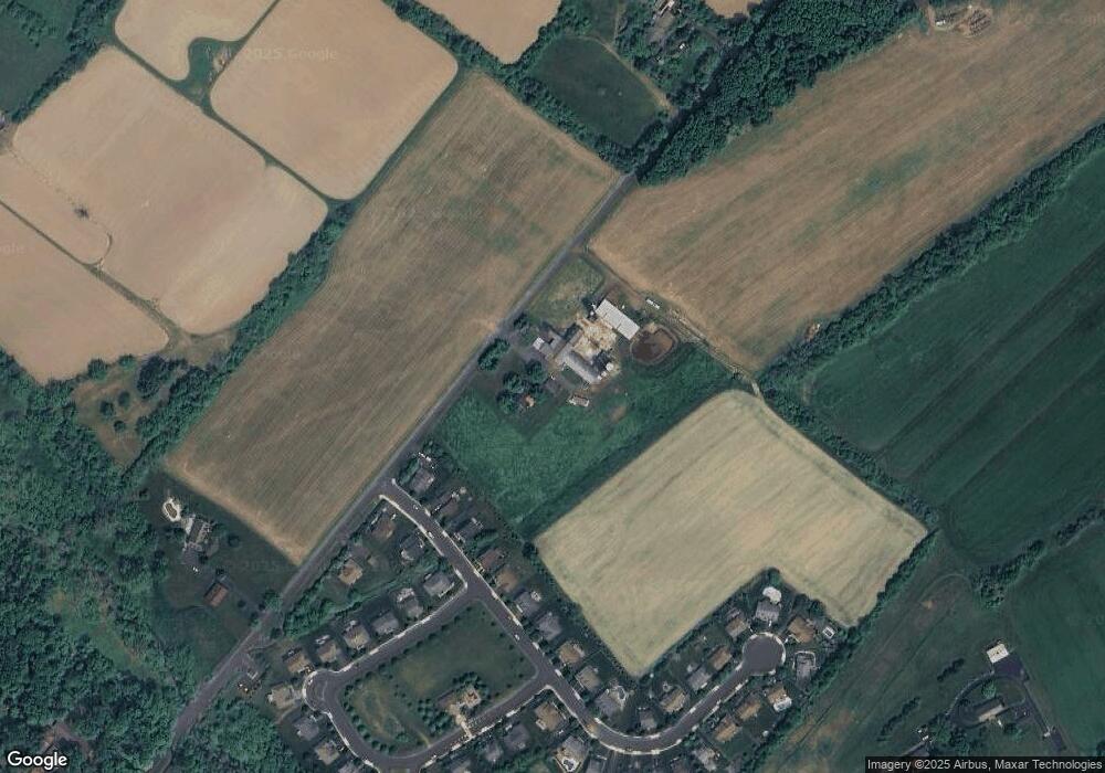
Map
Nearby Homes
- 1222 Hockley Dr
- 1214 Hockley Dr
- 563 Deep Run Rd
- 9 Log Cabin Rd
- Lot 10 Schadle Rd
- Lot 14 Schadle Rd
- Lot 9 Schadle Rd
- 316 Schadle Rd
- lot 11 Schadle Rd
- 4002 Miriam Dr
- 17 Ruhl Dr
- 358 E Armstrong Dr
- 126 Olde Pilgrim Rd
- 104 Wigton Cir
- 65 Williams Dr
- 291 Elephant Rd
- 172 Station Dr
- 169 Marlyn Ln
- 118 Bishop Way
- 222 Center Dr
- 119 Scott Rd
- 1029 Landis Rush Dr
- 1027 Landis Rush Dr
- 1025 Landis Rush Dr
- 1023 Landis Rush Dr
- 1021 Landis Rush Dr
- 1032 Landis Rush Dr
- 1034 Landis Rush Dr
- 1030 Landis Rush Dr
- 1028 Landis Rush Dr
- 1019 Landis Rush Dr
- 928 Angony Mills Dr
- 1017 Landis Rush Dr
- 115 Scott Rd
- 1003 Landis Rush Dr
- 1001 Landis Rush Dr
- 1015 Landis Rush Dr
- 926 Angony Mills Dr
- 186 Scott Rd
- 924 Angony Mills Dr
Your Personal Tour Guide
Ask me questions while you tour the home.