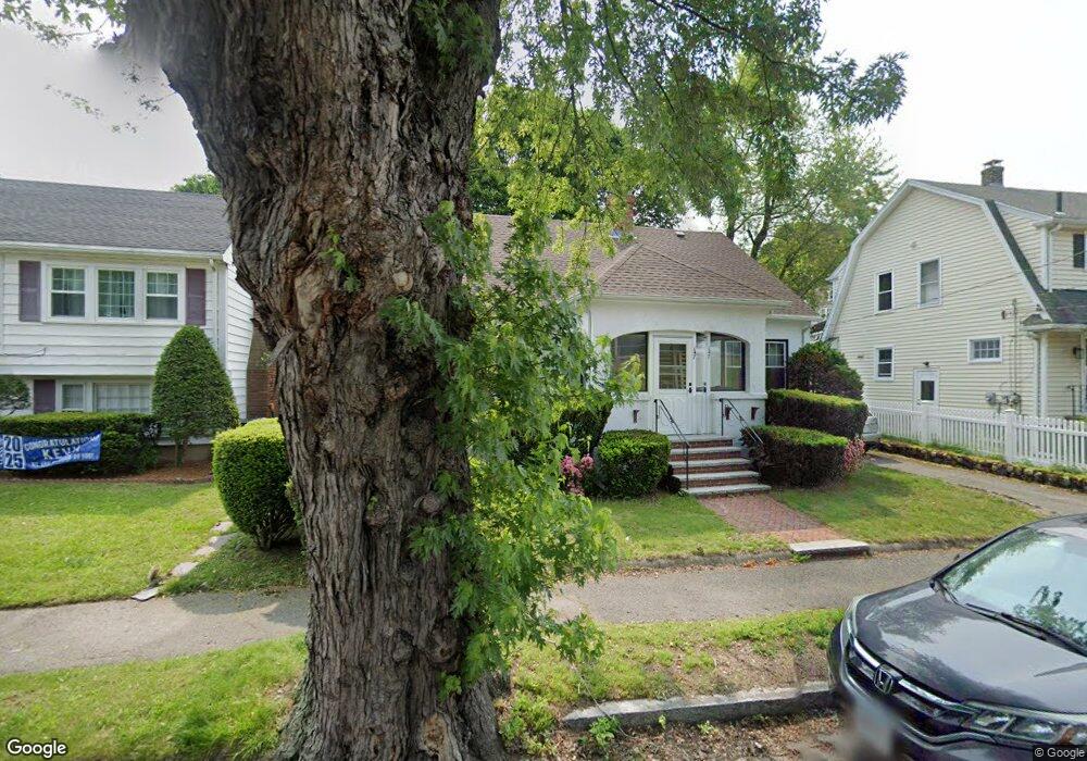
147 Stetson Ave Swampscott, MA 01907
Estimated Value: $727,694 - $812,000
3
Beds
2
Baths
1,785
Sq Ft
$428/Sq Ft
Est. Value
About This Home
This home is located at 147 Stetson Ave, Swampscott, MA 01907 and is currently estimated at $764,174, approximately $428 per square foot. 147 Stetson Ave is a home located in Essex County with nearby schools including Swampscott Middle School and Swampscott High School.
Ownership History
Date
Name
Owned For
Owner Type
Purchase Details
Closed on
Jul 11, 1997
Sold by
Rainville Paul S and Rainville Mary E
Bought by
Mclaughlin Robert J and Mclaughlin Kathleen
Current Estimated Value
Purchase Details
Closed on
Mar 29, 1995
Sold by
Leboeuf Margaret A
Bought by
Rainville Paul S and Rainville Mary
Create a Home Valuation Report for This Property
The Home Valuation Report is an in-depth analysis detailing your home's value as well as a comparison with similar homes in the area
Home Values in the Area
Average Home Value in this Area
Purchase History
| Date | Buyer | Sale Price | Title Company |
|---|---|---|---|
| Mclaughlin Robert J | $195,000 | -- | |
| Mclaughlin Robert J | $195,000 | -- | |
| Rainville Paul S | $181,000 | -- | |
| Rainville Paul S | $181,000 | -- |
Source: Public Records
Mortgage History
| Date | Status | Borrower | Loan Amount |
|---|---|---|---|
| Open | Rainville Paul S | $217,500 | |
| Closed | Rainville Paul S | $219,000 |
Source: Public Records
Tax History Compared to Growth
Tax History
| Year | Tax Paid | Tax Assessment Tax Assessment Total Assessment is a certain percentage of the fair market value that is determined by local assessors to be the total taxable value of land and additions on the property. | Land | Improvement |
|---|---|---|---|---|
| 2025 | $6,809 | $593,600 | $266,600 | $327,000 |
| 2024 | $6,642 | $578,100 | $254,600 | $323,500 |
| 2023 | $6,250 | $532,400 | $230,700 | $301,700 |
| 2022 | $5,936 | $462,700 | $198,900 | $263,800 |
| 2021 | $5,894 | $427,100 | $183,000 | $244,100 |
| 2020 | $5,766 | $403,200 | $159,100 | $244,100 |
| 2019 | $5,645 | $371,400 | $127,300 | $244,100 |
| 2018 | $5,531 | $345,700 | $111,400 | $234,300 |
| 2017 | $5,757 | $329,900 | $111,400 | $218,500 |
| 2016 | $5,579 | $321,900 | $103,400 | $218,500 |
| 2015 | $5,454 | $318,000 | $99,500 | $218,500 |
| 2014 | $5,081 | $271,700 | $83,500 | $188,200 |
Source: Public Records
Map
Nearby Homes
- 16 Duke St
- 3 Nantucket Ave
- 5 Summit View Dr
- 24 Barnstable St
- 306 Paradise Rd
- 445 Essex St Unit 304
- 8 Ryan Place
- 309 Paradise Rd
- 26 Parsons Dr
- 2 Shackle Way Unit 2
- 89 Essex St Unit 2
- 402 Paradise Rd Unit 4M
- 211 Burrill St
- 189 Burrill St Unit 2
- 44 Cherry St Unit 2
- 4 Valley Rd Unit 2
- 29 Weatherly Dr
- 58 Weatherly Dr
- 13 Weatherly Dr
- 71 Walnut Rd
- 161 Stetson Ave
- 145 Stetson Ave
- 10 Duke St
- 167 Stetson Ave
- 167 Stetson Ave Unit 2
- 167 Stetson Ave Unit 1
- 11 Bristol Ave
- 17 Bristol Ave
- 141-143 Stetson Ave Unit 2
- 141-143 Stetson Ave Unit 1
- 141 Stetson Ave
- 141 Stetson Ave Unit 143
- 141 Stetson Ave Unit 143
- 141 Stetson Ave Unit 1
- 23 Bristol Ave
- 9 Duke St
- 177 Stetson Ave
- 14 Nantucket Ave
- 139 Stetson Ave
- 15 Duke St