147 Strawberry Ln Dahlonega, GA 30533
Estimated Value: $500,072 - $727,000
--
Bed
2
Baths
4,558
Sq Ft
$137/Sq Ft
Est. Value
About This Home
This home is located at 147 Strawberry Ln, Dahlonega, GA 30533 and is currently estimated at $624,268, approximately $136 per square foot. 147 Strawberry Ln is a home located in Lumpkin County with nearby schools including Clay County Middle School and Lumpkin County High School.
Ownership History
Date
Name
Owned For
Owner Type
Purchase Details
Closed on
Apr 13, 2018
Sold by
Grindle Jeffrey S
Bought by
Grindle Investments Llc
Current Estimated Value
Home Financials for this Owner
Home Financials are based on the most recent Mortgage that was taken out on this home.
Original Mortgage
$292,050
Outstanding Balance
$251,158
Interest Rate
4.44%
Mortgage Type
New Conventional
Estimated Equity
$373,110
Purchase Details
Closed on
Aug 8, 2001
Sold by
Burgess Don
Bought by
Grindle Jeffrey S and Pamelo Jo
Purchase Details
Closed on
Dec 30, 1998
Sold by
Adams Norman
Bought by
Burgess Don
Purchase Details
Closed on
Aug 23, 1993
Sold by
Burgess Donald C
Bought by
Adams Norman
Purchase Details
Closed on
Sep 1, 1979
Bought by
Burgess Donald C
Create a Home Valuation Report for This Property
The Home Valuation Report is an in-depth analysis detailing your home's value as well as a comparison with similar homes in the area
Home Values in the Area
Average Home Value in this Area
Purchase History
| Date | Buyer | Sale Price | Title Company |
|---|---|---|---|
| Grindle Investments Llc | -- | -- | |
| Sams Earl Wayne | $324,500 | -- | |
| Grindle Jeffrey S | $61,000 | -- | |
| Burgess Don | -- | -- | |
| Adams Norman | -- | -- | |
| Burgess Donald C | -- | -- |
Source: Public Records
Mortgage History
| Date | Status | Borrower | Loan Amount |
|---|---|---|---|
| Open | Sams Earl Wayne | $292,050 | |
| Closed | Grindle Investments Llc | $292,050 |
Source: Public Records
Tax History Compared to Growth
Tax History
| Year | Tax Paid | Tax Assessment Tax Assessment Total Assessment is a certain percentage of the fair market value that is determined by local assessors to be the total taxable value of land and additions on the property. | Land | Improvement |
|---|---|---|---|---|
| 2024 | $3,644 | $152,687 | $21,705 | $130,982 |
| 2023 | $3,361 | $142,889 | $20,285 | $122,604 |
| 2022 | $3,637 | $146,915 | $16,906 | $130,009 |
| 2021 | $3,225 | $125,984 | $16,906 | $109,078 |
| 2020 | $3,226 | $122,286 | $16,202 | $106,084 |
| 2019 | $3,256 | $122,286 | $16,202 | $106,084 |
| 2018 | $3,214 | $115,299 | $20,910 | $94,389 |
| 2017 | $3,229 | $113,635 | $20,910 | $92,725 |
| 2016 | $2,993 | $102,076 | $20,910 | $81,166 |
| 2015 | $2,663 | $102,076 | $20,910 | $81,166 |
| 2014 | $2,663 | $103,030 | $20,910 | $82,120 |
| 2013 | -- | $104,939 | $20,910 | $84,029 |
Source: Public Records
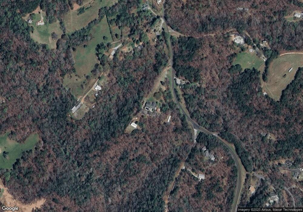
Map
Nearby Homes
- 45 Chestatee River Ridge
- 16 Welch Cir
- 380 Copper Mill Rd
- 64 Highview Ln
- 202 Indian Trail
- 1063 Grindle Bridge Rd
- 0 Arborwood Dr Unit 10645890
- 83 Austin Ct
- 128 Young Deer Dr
- 87 Tolleffs Trail
- 86.99 Acres Mincie Mountain
- 496 Beaver Dam Rd
- 372 Porter Springs Rd
- 0 Porter Springs Rd Unit 7685063
- 0 Porter Springs Rd Unit 10648400
- 165 Porter Springs Rd
- 31 Valhalla Dr
- 0 Waterfall Dr Unit 9 10472076
- 99 Strawberry Ln
- 2914 Copper Mines Rd
- 231 Hatfield Grove
- 49 Hatfield Grove
- 85 Hatfield Grove
- 0A Hilburn Rd
- 3027 Copper Mines Rd
- 91 Hilburn Rd
- 82 Chestatee River Ridge
- 0 Hide Away Rd
- 10 Hatfield Grove
- 154 Hilburn Rd
- 118 Hide Away Rd
- 0 Hilburn Rd Unit 7028600
- 0 Hilburn Rd Unit 8734964
- 0 Hilburn Rd Unit 8736749
- 0 Hilburn Rd Unit 8736736
- 0 Hilburn Rd
- 0 Chestatee River Ridge Unit 7579846
- 234 Hide Away Rd