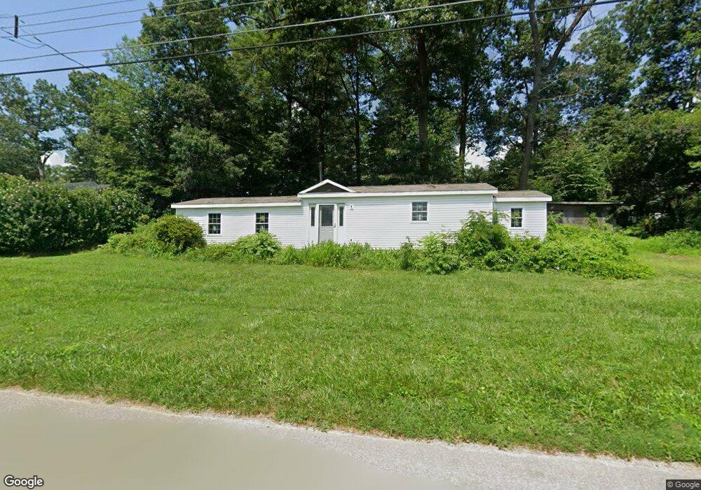
147 Susquehanna Rd Delta, PA 17314
Susquehanna Trails NeighborhoodEstimated Value: $127,143 - $201,000
1
Bed
1
Bath
750
Sq Ft
$220/Sq Ft
Est. Value
About This Home
This home is located at 147 Susquehanna Rd, Delta, PA 17314 and is currently estimated at $164,786, approximately $219 per square foot. 147 Susquehanna Rd is a home located in York County with nearby schools including South Eastern Intermediate School, South Eastern Middle School, and Kennard-Dale High School.
Ownership History
Date
Name
Owned For
Owner Type
Purchase Details
Closed on
May 14, 2011
Sold by
Thane Joyce M
Bought by
Sommer John W
Current Estimated Value
Home Financials for this Owner
Home Financials are based on the most recent Mortgage that was taken out on this home.
Original Mortgage
$59,900
Interest Rate
3.99%
Mortgage Type
Purchase Money Mortgage
Purchase Details
Closed on
Mar 8, 2001
Sold by
Rayner Victoria E and Rayner Richard E
Bought by
Thane Joyce M
Create a Home Valuation Report for This Property
The Home Valuation Report is an in-depth analysis detailing your home's value as well as a comparison with similar homes in the area
Home Values in the Area
Average Home Value in this Area
Purchase History
| Date | Buyer | Sale Price | Title Company |
|---|---|---|---|
| Sommer John W | $68,000 | None Available | |
| Thane Joyce M | $34,500 | -- |
Source: Public Records
Mortgage History
| Date | Status | Borrower | Loan Amount |
|---|---|---|---|
| Closed | Sommer John W | $59,900 |
Source: Public Records
Tax History Compared to Growth
Tax History
| Year | Tax Paid | Tax Assessment Tax Assessment Total Assessment is a certain percentage of the fair market value that is determined by local assessors to be the total taxable value of land and additions on the property. | Land | Improvement |
|---|---|---|---|---|
| 2025 | $1,624 | $53,910 | $32,570 | $21,340 |
| 2024 | $1,624 | $53,910 | $32,570 | $21,340 |
| 2023 | $1,624 | $53,910 | $32,570 | $21,340 |
| 2022 | $1,624 | $53,910 | $32,570 | $21,340 |
| 2021 | $1,570 | $53,910 | $32,570 | $21,340 |
| 2020 | $1,543 | $53,910 | $32,570 | $21,340 |
| 2019 | $1,538 | $53,910 | $32,570 | $21,340 |
| 2018 | $1,538 | $53,910 | $32,570 | $21,340 |
| 2017 | $1,538 | $53,910 | $32,570 | $21,340 |
| 2016 | $0 | $53,910 | $32,570 | $21,340 |
| 2015 | -- | $53,910 | $32,570 | $21,340 |
| 2014 | -- | $53,910 | $32,570 | $21,340 |
Source: Public Records
Map
Nearby Homes
- Parcel 859 Neill Run Rd
- 46 Corn Tassel Rd
- 76 Laurel Dr
- 45 Wenzel Rd
- 216 Meadow Trail
- 0 Highview Dr
- 556 Bair Rd
- 0 Valley Ln
- 0 Dogwood Rd
- 53 Dogwood Rd
- 136 Greenwich Rd
- 8290 Woodbine Rd
- 55 Highfield Rd
- 115 Highfield Rd
- Lot C Bryansville Rd
- 267 Cook Rd
- 194 Cook Rd
- 65 W Mckinley Rd
- Lot 4 Ridge Rd
- 2913 Whiteford Rd
- 133 Susquehanna Rd
- 32 Oak Forest Rd
- 146 Susquehanna Rd
- 22 Oak Forest Rd
- 121 Susquehanna Rd
- 57 Rolling Rd
- 65 Rolling Rd
- 54 Oak Forest Rd
- 164 Susquehanna Rd
- 175 Susquehanna Rd
- 55 Rolling Rd
- 12 Oak Forest Rd
- 69 Rolling Rd
- 113 Susquehanna Rd
- 21 Oak Forest Rd
- 41 Rolling Rd
- 87 Rolling Rd
- 191 Susquehanna Rd