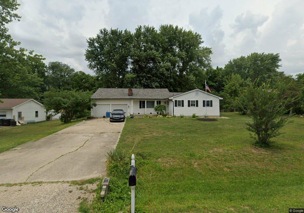
147 Vernon Dr Chillicothe, OH 45601
Estimated Value: $200,000 - $304,000
--
Bed
2
Baths
1,972
Sq Ft
$137/Sq Ft
Est. Value
About This Home
This home is located at 147 Vernon Dr, Chillicothe, OH 45601 and is currently estimated at $269,804, approximately $136 per square foot. 147 Vernon Dr is a home located in Ross County with nearby schools including Unioto Elementary School, Unioto Middle School, and Unioto High School.
Ownership History
Date
Name
Owned For
Owner Type
Purchase Details
Closed on
Feb 14, 2025
Sold by
Huffman-Colter Helen P and Newman Helen
Bought by
Newman Helen
Current Estimated Value
Purchase Details
Closed on
Jul 3, 2008
Sold by
Huffman Colter Helen P
Bought by
Huffman Colter Helen P and Colter David W
Home Financials for this Owner
Home Financials are based on the most recent Mortgage that was taken out on this home.
Original Mortgage
$97,440
Interest Rate
6.1%
Mortgage Type
Stand Alone Refi Refinance Of Original Loan
Create a Home Valuation Report for This Property
The Home Valuation Report is an in-depth analysis detailing your home's value as well as a comparison with similar homes in the area
Home Values in the Area
Average Home Value in this Area
Purchase History
| Date | Buyer | Sale Price | Title Company |
|---|---|---|---|
| Newman Helen | -- | None Listed On Document | |
| Newman Helen | -- | None Listed On Document | |
| Huffman Colter Helen P | -- | Chicago Title Agency Of Ross |
Source: Public Records
Mortgage History
| Date | Status | Borrower | Loan Amount |
|---|---|---|---|
| Previous Owner | Huffman Colter Helen P | $97,440 |
Source: Public Records
Tax History Compared to Growth
Tax History
| Year | Tax Paid | Tax Assessment Tax Assessment Total Assessment is a certain percentage of the fair market value that is determined by local assessors to be the total taxable value of land and additions on the property. | Land | Improvement |
|---|---|---|---|---|
| 2024 | $2,340 | $67,170 | $6,780 | $60,390 |
| 2023 | $1,979 | $67,170 | $6,780 | $60,390 |
| 2022 | $2,573 | $67,170 | $6,780 | $60,390 |
| 2021 | $2,122 | $56,340 | $5,850 | $50,490 |
| 2020 | $2,134 | $56,340 | $5,850 | $50,490 |
| 2019 | $2,134 | $56,340 | $5,850 | $50,490 |
| 2018 | $1,877 | $48,580 | $4,270 | $44,310 |
| 2017 | $1,880 | $48,580 | $4,270 | $44,310 |
| 2016 | $1,832 | $48,580 | $4,270 | $44,310 |
| 2015 | $1,819 | $47,820 | $4,270 | $43,550 |
| 2014 | $1,775 | $47,820 | $4,270 | $43,550 |
| 2013 | $1,784 | $47,820 | $4,270 | $43,550 |
Source: Public Records
Map
Nearby Homes
- 11303 County Road 550
- 10217 County Road 550
- 365 Golfview Dr
- 559 Golfview Dr
- 313 Goodale Dr
- 54 Moccasin Dr
- 435 Mount Carmel Rd
- 12690 Pleasant Valley Rd
- 18 Sarah Ct
- 1036 Clinton Rd
- 265 Brookside Dr
- 2083 Anderson Station Rd
- 13223 Pleasant Valley Rd
- 420 Steiner Rd
- 102 Franklin Cir
- 2153 Egypt Pike
- 25 Woodland Way
- 45 Custer Dr
- 2719 Sulphur Lick Rd
- 2391 Simmons Rd