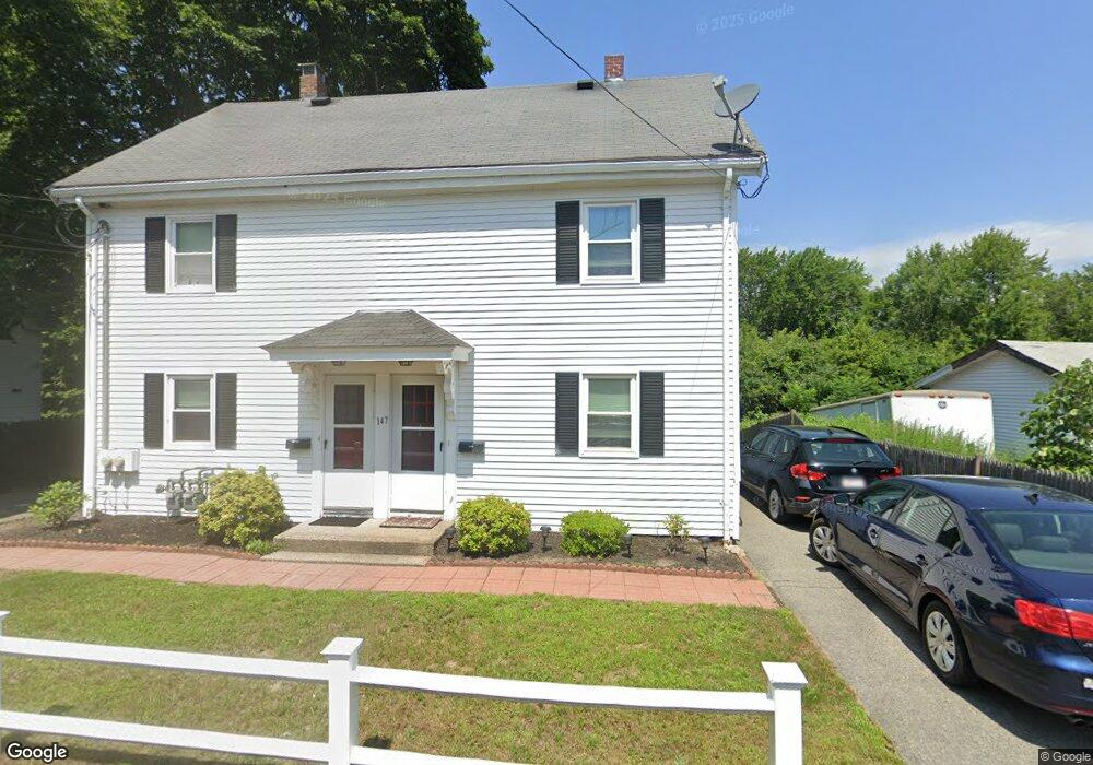
147 West St Unit left Walpole, MA 02081
Estimated Value: $561,000 - $660,000
2
Beds
1
Bath
850
Sq Ft
$706/Sq Ft
Est. Value
About This Home
This home is located at 147 West St Unit left, Walpole, MA 02081 and is currently estimated at $600,031, approximately $705 per square foot. 147 West St Unit left is a home located in Norfolk County with nearby schools including Elm Street School, Eleanor N. Johnson Middle School, and Walpole High School.
Ownership History
Date
Name
Owned For
Owner Type
Purchase Details
Closed on
Oct 10, 2025
Sold by
Barner David
Bought by
Sonny West Properties Llc
Current Estimated Value
Purchase Details
Closed on
Oct 31, 1997
Sold by
Dimartino Marjorie A and Dimartino Edward
Bought by
Barner David
Home Financials for this Owner
Home Financials are based on the most recent Mortgage that was taken out on this home.
Original Mortgage
$151,650
Interest Rate
7.31%
Mortgage Type
Purchase Money Mortgage
Create a Home Valuation Report for This Property
The Home Valuation Report is an in-depth analysis detailing your home's value as well as a comparison with similar homes in the area
Home Values in the Area
Average Home Value in this Area
Purchase History
| Date | Buyer | Sale Price | Title Company |
|---|---|---|---|
| Sonny West Properties Llc | -- | -- | |
| Barner David | $168,500 | -- |
Source: Public Records
Mortgage History
| Date | Status | Borrower | Loan Amount |
|---|---|---|---|
| Previous Owner | Barner David | $95,000 | |
| Previous Owner | Barner David | $151,650 |
Source: Public Records
Tax History
| Year | Tax Paid | Tax Assessment Tax Assessment Total Assessment is a certain percentage of the fair market value that is determined by local assessors to be the total taxable value of land and additions on the property. | Land | Improvement |
|---|---|---|---|---|
| 2025 | $6,261 | $488,000 | $266,300 | $221,700 |
| 2024 | $6,315 | $477,700 | $256,000 | $221,700 |
| 2023 | $6,341 | $456,500 | $222,600 | $233,900 |
| 2022 | $5,923 | $409,600 | $206,100 | $203,500 |
| 2021 | $5,601 | $377,400 | $194,400 | $183,000 |
| 2020 | $5,321 | $355,000 | $173,800 | $181,200 |
| 2019 | $4,880 | $323,200 | $167,100 | $156,100 |
| 2018 | $4,431 | $290,200 | $151,700 | $138,500 |
| 2017 | $4,318 | $281,700 | $145,800 | $135,900 |
| 2016 | $4,212 | $270,700 | $147,000 | $123,700 |
| 2015 | $3,870 | $246,500 | $124,100 | $122,400 |
| 2014 | $3,710 | $235,400 | $124,100 | $111,300 |
Source: Public Records
Map
Nearby Homes
- 26 Drake Cir
- 1110 Main St
- 260 Elm St
- 6 Litchfields Way
- 50 Riverside Place
- 222 School St Unit 9
- 224 School St Unit 9
- 881 Main St Unit 9
- 145 South St Unit 5
- 1391 Main St Unit 308
- 1391 Main St Unit 306
- 1391 Main St Unit 304
- 31 Sandtrap Cir Unit 500
- 10 Sandtrap Cir Unit 2
- 13 Sandtrap Cir Unit 14
- 11 Sandtrap Cir Unit 15
- 20 Sandtrap Cir Unit 4
- 19 Sandtrap Cir Unit 11
- 14 Weathervane Dr Unit 22
- 18 Sandtrap Cir Unit 3
Your Personal Tour Guide
Ask me questions while you tour the home.