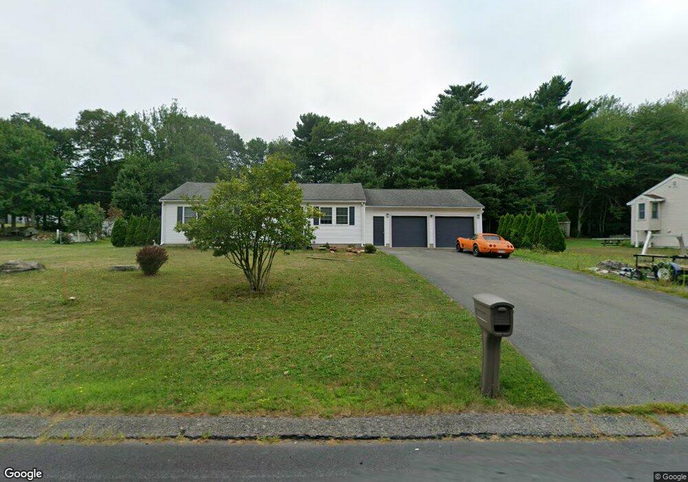
147 Wren St East Taunton, MA 02718
East Taunton NeighborhoodEstimated Value: $492,582 - $528,000
3
Beds
1
Bath
1,092
Sq Ft
$472/Sq Ft
Est. Value
About This Home
This home is located at 147 Wren St, East Taunton, MA 02718 and is currently estimated at $515,896, approximately $472 per square foot. 147 Wren St is a home located in Bristol County with nearby schools including East Taunton Elementary School, Taunton High School, and Our Lady of Lourdes School.
Ownership History
Date
Name
Owned For
Owner Type
Purchase Details
Closed on
Mar 25, 1993
Sold by
Proctor Richard M and Proctor Joanne L
Bought by
Bernier Rene F and Bernier Ann Marie
Current Estimated Value
Home Financials for this Owner
Home Financials are based on the most recent Mortgage that was taken out on this home.
Original Mortgage
$103,700
Interest Rate
7.73%
Mortgage Type
Purchase Money Mortgage
Create a Home Valuation Report for This Property
The Home Valuation Report is an in-depth analysis detailing your home's value as well as a comparison with similar homes in the area
Home Values in the Area
Average Home Value in this Area
Purchase History
| Date | Buyer | Sale Price | Title Company |
|---|---|---|---|
| Bernier Rene F | $105,500 | -- |
Source: Public Records
Mortgage History
| Date | Status | Borrower | Loan Amount |
|---|---|---|---|
| Closed | Bernier Rene F | $103,700 |
Source: Public Records
Tax History Compared to Growth
Tax History
| Year | Tax Paid | Tax Assessment Tax Assessment Total Assessment is a certain percentage of the fair market value that is determined by local assessors to be the total taxable value of land and additions on the property. | Land | Improvement |
|---|---|---|---|---|
| 2025 | $4,648 | $424,900 | $140,400 | $284,500 |
| 2024 | $4,447 | $397,400 | $140,400 | $257,000 |
| 2023 | $4,290 | $356,000 | $134,000 | $222,000 |
| 2022 | $4,231 | $321,000 | $122,300 | $198,700 |
| 2021 | $5,044 | $283,300 | $111,200 | $172,100 |
| 2020 | $4,012 | $270,000 | $111,200 | $158,800 |
| 2019 | $4,072 | $258,400 | $111,200 | $147,200 |
| 2018 | $4,419 | $242,500 | $112,300 | $130,200 |
| 2017 | $2,549 | $233,400 | $106,500 | $126,900 |
| 2016 | $3,537 | $225,600 | $103,400 | $122,200 |
| 2015 | $3,440 | $229,200 | $105,600 | $123,600 |
| 2014 | $3,300 | $225,900 | $105,600 | $120,300 |
Source: Public Records
Map
Nearby Homes
- 203 Bluejay Ln
- 28 B Staples St Unit B
- 220 Erin Rd
- 81 Tania Dr
- 68 Metacomet Ave
- 550 Middleboro Ave
- 649 Middleboro Ave
- 96 Old Colony Ave Unit 264
- 96 Old Colony Ave Unit 318
- 96 Old Colony Ave Unit 268
- 96 Old Colony Ave Unit 202
- 32 Kendall Ct
- 120 South St E
- 17 Maries Way
- 218R Hart St Unit B
- 0 Kingman St
- 138 Pine Tree Ln
- 31 Bruno's Way Unit A
- 80 Bally Dr
- 49 Louie Ln
- 135 Wren St
- 161 Wren St
- 456 Mockingbird Way
- 196 Hummingbird Ln
- 125 Wren St
- 180 Hummingbird Ln
- 10 Cardinal Cir
- 465 Mockingbird Way
- 481 Mockingbird Way
- 111 Wren St
- 445 Mockingbird Way
- 170 Hummingbird Ln
- 195 Hummingbird Ln
- 11 Cardinal Cir
- 20 Cardinal Cir
- 207 Wren St
- 99 Wren St
- 23 Dove St
- 50 Cardinal Cir
- 431 Mockingbird Way