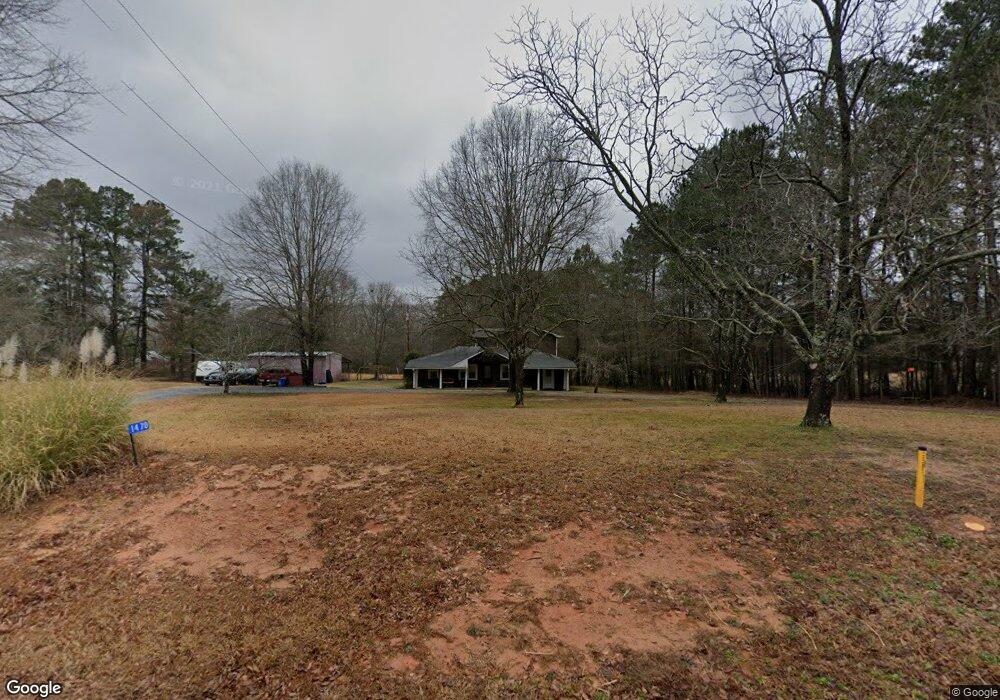
1470 Aiken Rd Bogart, GA 30622
Estimated Value: $441,000 - $489,000
5
Beds
3
Baths
2,712
Sq Ft
$174/Sq Ft
Est. Value
About This Home
This home is located at 1470 Aiken Rd, Bogart, GA 30622 and is currently estimated at $470,891, approximately $173 per square foot. 1470 Aiken Rd is a home located in Oconee County with nearby schools including Malcom Bridge Elementary School, Malcom Bridge Middle School, and North Oconee High School.
Ownership History
Date
Name
Owned For
Owner Type
Purchase Details
Closed on
Feb 18, 2011
Sold by
Northeast Georgia Bank
Bought by
Cauthen Joshua M
Current Estimated Value
Home Financials for this Owner
Home Financials are based on the most recent Mortgage that was taken out on this home.
Original Mortgage
$114,000
Outstanding Balance
$77,748
Interest Rate
4.71%
Mortgage Type
New Conventional
Estimated Equity
$393,143
Purchase Details
Closed on
Aug 14, 2006
Sold by
Deutsche Bank National Trust C
Bought by
Saunders Stuart
Home Financials for this Owner
Home Financials are based on the most recent Mortgage that was taken out on this home.
Original Mortgage
$200,000
Interest Rate
6.67%
Mortgage Type
New Conventional
Purchase Details
Closed on
Dec 11, 2001
Sold by
Mccoy Michael D
Bought by
Hymer Elaine Marie
Create a Home Valuation Report for This Property
The Home Valuation Report is an in-depth analysis detailing your home's value as well as a comparison with similar homes in the area
Home Values in the Area
Average Home Value in this Area
Purchase History
| Date | Buyer | Sale Price | Title Company |
|---|---|---|---|
| Cauthen Joshua M | $120,000 | -- | |
| Saunders Stuart | $140,000 | -- | |
| Hymer Elaine Marie | $155,000 | -- |
Source: Public Records
Mortgage History
| Date | Status | Borrower | Loan Amount |
|---|---|---|---|
| Open | Cauthen Joshua M | $114,000 | |
| Previous Owner | Saunders Stuart | $200,000 |
Source: Public Records
Tax History Compared to Growth
Tax History
| Year | Tax Paid | Tax Assessment Tax Assessment Total Assessment is a certain percentage of the fair market value that is determined by local assessors to be the total taxable value of land and additions on the property. | Land | Improvement |
|---|---|---|---|---|
| 2024 | $2,630 | $142,078 | $51,354 | $90,724 |
| 2023 | $2,617 | $130,851 | $47,551 | $83,300 |
| 2022 | $2,296 | $109,013 | $38,041 | $70,972 |
| 2021 | $2,191 | $96,648 | $34,582 | $62,066 |
| 2020 | $2,019 | $89,085 | $31,439 | $57,646 |
| 2019 | $1,830 | $80,915 | $27,338 | $53,577 |
| 2018 | $1,802 | $78,071 | $24,852 | $53,219 |
| 2017 | $1,634 | $70,980 | $20,710 | $50,270 |
| 2016 | $1,562 | $67,966 | $18,828 | $49,138 |
| 2015 | $1,536 | $66,726 | $18,828 | $47,898 |
| 2014 | $1,474 | $62,702 | $17,116 | $45,586 |
| 2013 | -- | $59,768 | $16,114 | $43,654 |
Source: Public Records
Map
Nearby Homes
- 1480 Aiken Rd
- 2111 Pete Dickens Rd
- 2081 Pete Dickens Rd
- 1420 Aiken Rd
- 2140 Pete Dickens Rd
- 2061 Atlanta Hwy
- 1521 Aiken Rd
- 1400 Aiken Rd
- 2160 Pete Dickens Rd
- 2081 Atlanta Hwy
- 1390 Aiken Rd
- 2041 Pete Dickens Rd
- 1481 Aiken Rd
- 1380 Aiken Rd
- 1380 Aiken Rd
- 2180 Pete Dickens Rd
- 2190 Pete Dickens Rd
- 2060 Atlanta Hwy
- 1370 Aiken Rd
- 1981 Atlanta Hwy