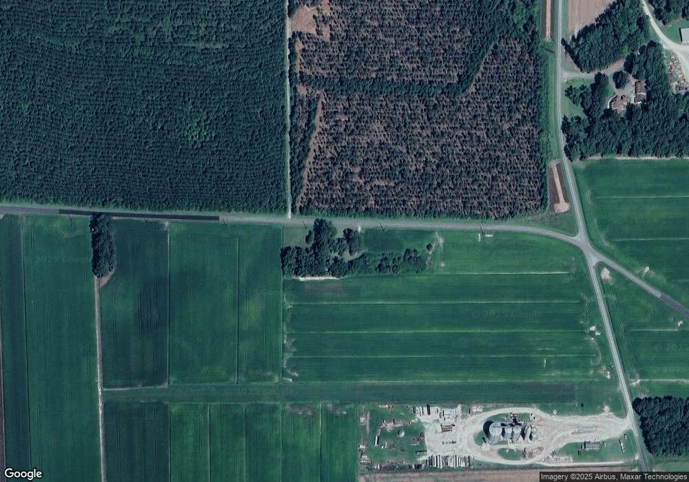
1470 Pocosin Rd Pinetown, NC 27865
Estimated Value: $101,761 - $199,000
3
Beds
2
Baths
1,204
Sq Ft
$120/Sq Ft
Est. Value
About This Home
This home is located at 1470 Pocosin Rd, Pinetown, NC 27865 and is currently estimated at $144,940, approximately $120 per square foot. 1470 Pocosin Rd is a home with nearby schools including Bath Elementary School and Northside High School.
Ownership History
Date
Name
Owned For
Owner Type
Purchase Details
Closed on
Sep 19, 2023
Sold by
Boyd Elsie B
Bought by
Bateman Elizabeth C B and Boyd Georgia-Ann
Current Estimated Value
Home Financials for this Owner
Home Financials are based on the most recent Mortgage that was taken out on this home.
Original Mortgage
$50,000
Outstanding Balance
$42,436
Interest Rate
6.57%
Mortgage Type
Construction
Estimated Equity
$102,504
Purchase Details
Closed on
Jun 20, 2013
Bought by
Boyd Elsie B
Create a Home Valuation Report for This Property
The Home Valuation Report is an in-depth analysis detailing your home's value as well as a comparison with similar homes in the area
Home Values in the Area
Average Home Value in this Area
Purchase History
| Date | Buyer | Sale Price | Title Company |
|---|---|---|---|
| Bateman Elizabeth C B | $49,000 | Attorney Only | |
| Boyd Elsie B | -- | -- |
Source: Public Records
Mortgage History
| Date | Status | Borrower | Loan Amount |
|---|---|---|---|
| Open | Bateman Elizabeth C B | $50,000 |
Source: Public Records
Tax History Compared to Growth
Tax History
| Year | Tax Paid | Tax Assessment Tax Assessment Total Assessment is a certain percentage of the fair market value that is determined by local assessors to be the total taxable value of land and additions on the property. | Land | Improvement |
|---|---|---|---|---|
| 2025 | $981 | $147,137 | $24,318 | $122,819 |
| 2024 | $519 | $46,571 | $26,636 | $19,935 |
| 2023 | $331 | $46,571 | $26,636 | $19,935 |
| 2022 | $326 | $46,571 | $26,636 | $19,935 |
| 2021 | $321 | $46,571 | $26,636 | $19,935 |
| 2020 | $318 | $46,571 | $26,636 | $19,935 |
| 2019 | $308 | $46,571 | $26,636 | $19,935 |
| 2018 | $294 | $46,571 | $26,636 | $19,935 |
| 2017 | $301 | $50,160 | $26,636 | $23,524 |
| 2016 | $453 | $50,160 | $26,636 | $23,524 |
| 2015 | $388 | $0 | $0 | $0 |
| 2014 | $388 | $0 | $0 | $0 |
| 2013 | -- | $50,160 | $26,636 | $23,524 |
Source: Public Records
Map
Nearby Homes
- 11013 U S 264
- 105 Hancock Ln
- 223 Ferrell Vance Ln
- 13006 U S 264
- 548 Evins
- 263 Treasure Point Rd
- 1148 Mill Field Rd
- 331 Bright Acres Rd
- 22 Sawmill Landing Rd
- 2747 Terrapin Track Rd
- 438 Stell Rd
- Off Water Dr
- Lots12 &13 Sabre Pointe
- 0 Water Dr Unit Slip A10 100530243
- 121 Sabre Point Dr
- State Road 1337
- 42 Cordgrass Pointe Rd
- Lot 22 Fernwood Ct
- 4970 Jackson Swamp Rd
- 1131 Post Rd
- 2200 Respess Rd
- 132 Pocosin Rd
- 0 Respess Rd
- 2450 Respess Rd
- 1492 Respess Rd
- 1438 Respess Rd
- 1370 Respess Rd
- 1334 Respess Rd
- 161 Five Points Farm Ln
- 2331 Pocosin Rd
- 1226 Respess Rd
- 3017 Respess Rd
- 8605 Slatestone Rd
- 2393 Pocosin Rd
- 8227 Slatestone Rd
- 1153 N Respess St
- 8201 Slatestone Rd
- 3099 Respess Rd
- 514 Pocosin Rd
