1470 W 050 N Lagrange, IN 46761
Estimated Value: $226,000 - $830,854
5
Beds
1
Bath
2,936
Sq Ft
$202/Sq Ft
Est. Value
About This Home
This home is located at 1470 W 050 N, Lagrange, IN 46761 and is currently estimated at $591,618, approximately $201 per square foot. 1470 W 050 N is a home located in LaGrange County with nearby schools including Lakeland Jr/Sr High School, Pleasant Acres School, and Maple Grove School.
Ownership History
Date
Name
Owned For
Owner Type
Purchase Details
Closed on
May 31, 2019
Sold by
Tri-County Land Trustee Corp
Bought by
Schrock Floyd S and Schrock Waneta
Current Estimated Value
Home Financials for this Owner
Home Financials are based on the most recent Mortgage that was taken out on this home.
Original Mortgage
$596,375
Outstanding Balance
$458,088
Interest Rate
4%
Mortgage Type
New Conventional
Estimated Equity
$133,530
Create a Home Valuation Report for This Property
The Home Valuation Report is an in-depth analysis detailing your home's value as well as a comparison with similar homes in the area
Home Values in the Area
Average Home Value in this Area
Purchase History
| Date | Buyer | Sale Price | Title Company |
|---|---|---|---|
| Schrock Floyd S | $745,468 | Attorney Only |
Source: Public Records
Mortgage History
| Date | Status | Borrower | Loan Amount |
|---|---|---|---|
| Open | Schrock Floyd S | $596,375 |
Source: Public Records
Tax History Compared to Growth
Tax History
| Year | Tax Paid | Tax Assessment Tax Assessment Total Assessment is a certain percentage of the fair market value that is determined by local assessors to be the total taxable value of land and additions on the property. | Land | Improvement |
|---|---|---|---|---|
| 2024 | $4,611 | $707,500 | $65,100 | $642,400 |
| 2023 | $4,531 | $684,600 | $59,500 | $625,100 |
| 2022 | $3,958 | $560,500 | $49,600 | $510,900 |
| 2021 | $3,478 | $505,300 | $44,000 | $461,300 |
| 2020 | $3,778 | $499,600 | $43,800 | $455,800 |
| 2019 | $1,970 | $313,600 | $47,900 | $265,700 |
| 2018 | $2,007 | $297,100 | $48,700 | $248,400 |
| 2017 | $2,004 | $301,000 | $49,200 | $251,800 |
| 2016 | $2,069 | $312,100 | $47,600 | $264,500 |
| 2014 | $1,471 | $222,100 | $47,400 | $174,700 |
| 2013 | $1,471 | $219,900 | $43,400 | $176,500 |
Source: Public Records
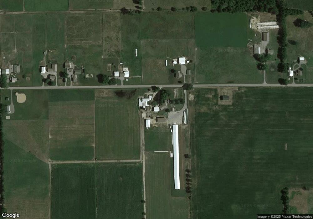
Map
Nearby Homes
- 415 W 060 N
- 0 Corner of Factory St & Townline Rd Unit 202541800
- 217 N Sherman St
- 1575 W 195 N
- 915 N 015 E
- 914 S Detroit St
- 207 S Poplar St
- 737 N Canal St
- 245 E 100 S
- 306 N 100 E
- 2930 N 080 E
- 1400 N 200 E
- 125 E Lot 10
- 3915 N 200 E
- 5145 N 290 W
- 1895 W 570 N
- 1770 W 570 N
- 1030 N 400 E
- 4370 N 230 E
- 5775 N 175 W
- 1435 W 050 N
- 1555 W 050 N
- 1635 W 050 N
- 1285 W 050 N
- 1685 W 050 N
- 1215 W 050 N
- 1745 W 050 N
- 1425 N Us Highway 20
- 1805 W 050 N
- 1540 W Us Highway 20
- 1430 W Us Highway 20
- 1125 W 050 N
- 1340 W Us Highway 20
- 1440 E Us Highway 20
- 1725 W Us Highway 20
- 1230 W Us Highway 20
- 1185 U S 20
- 1185 W Us Highway 20
- 540 N 100 W
- 1025 W 050 N