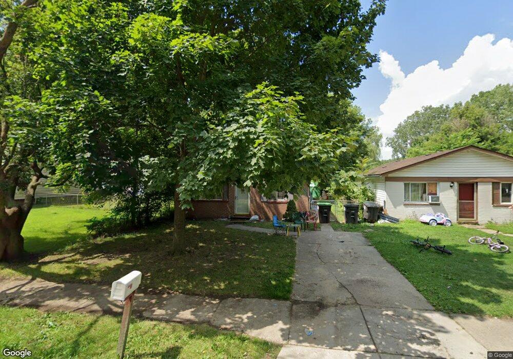
14700 Oldham St Taylor, MI 48180
Estimated Value: $144,514 - $181,000
3
Beds
1
Bath
1,001
Sq Ft
$161/Sq Ft
Est. Value
About This Home
This home is located at 14700 Oldham St, Taylor, MI 48180 and is currently estimated at $161,379, approximately $161 per square foot. 14700 Oldham St is a home located in Wayne County with nearby schools including Eureka Heights Elementary School, Robert J. West Middle School, and Taylor High School.
Ownership History
Date
Name
Owned For
Owner Type
Purchase Details
Closed on
Jul 16, 2008
Sold by
Antishin James T
Bought by
Us Bank Na and Csfb Armt 2006-2
Current Estimated Value
Purchase Details
Closed on
Mar 23, 2006
Sold by
Swanson Michael D and Swanson Sandra A
Bought by
Antishin James T
Purchase Details
Closed on
Jul 29, 2005
Sold by
Ehlenbach Margaret A and West Donna
Bought by
Swanson Michael D
Purchase Details
Closed on
May 29, 1997
Sold by
Margaret A Barr and Margaret Margar
Bought by
Margaret A Ehlenbach
Create a Home Valuation Report for This Property
The Home Valuation Report is an in-depth analysis detailing your home's value as well as a comparison with similar homes in the area
Home Values in the Area
Average Home Value in this Area
Purchase History
| Date | Buyer | Sale Price | Title Company |
|---|---|---|---|
| Us Bank Na | $19,500 | None Available | |
| Antishin James T | $111,000 | Minnesota Title Agency | |
| Swanson Michael D | $75,000 | Multiple | |
| Margaret A Ehlenbach | -- | -- |
Source: Public Records
Tax History
| Year | Tax Paid | Tax Assessment Tax Assessment Total Assessment is a certain percentage of the fair market value that is determined by local assessors to be the total taxable value of land and additions on the property. | Land | Improvement |
|---|---|---|---|---|
| 2025 | $1,800 | $61,800 | $0 | $0 |
| 2024 | $1,748 | $56,300 | $0 | $0 |
| 2023 | $2,128 | $48,900 | $0 | $0 |
| 2022 | $1,644 | $42,200 | $0 | $0 |
| 2021 | $2,245 | $37,900 | $0 | $0 |
| 2020 | $2,312 | $35,200 | $0 | $0 |
| 2019 | $227,089 | $33,700 | $0 | $0 |
| 2018 | $1,444 | $25,800 | $0 | $0 |
| 2017 | $1,369 | $26,200 | $0 | $0 |
| 2016 | $2,587 | $25,500 | $0 | $0 |
| 2015 | $2,290 | $22,900 | $0 | $0 |
| 2013 | $2,310 | $24,000 | $0 | $0 |
| 2012 | $1,527 | $23,300 | $5,900 | $17,400 |
Source: Public Records
Map
Nearby Homes
- 14711 Fellrath St
- 15310 Beech Daly Rd
- 15371 Gulley St
- 13753 Mcguire St
- 15390 Gulley St
- 26118 Superior Rd
- 13717 Fellrath St
- 15425 Leader St
- 15684 Mcguire St
- 13529 Fellrath St
- 16031 Beech Daly Rd Unit 173
- 16031 Beech Daly Rd Unit 192
- 16031 Beech Daly Rd Unit 65
- 16031 Beech Daly Rd Unit 109
- 16031 Beech Daly Rd Unit 80
- 16031 Beech Daly Rd Unit 40
- 16031 Beech Daly Rd Unit 4
- 16031 Beech Daly Rd Unit 146
- 16031 Beech Daly Rd
- 16031 Beech Daly Rd Unit 106
- 14660 Oldham St
- 14646 Oldham St
- 14718 Oldham St
- 14632 Oldham St
- 14665 Beech Daly Rd
- 14744 Oldham St
- 14735 Beech Daly Rd
- 14747 Beech Daly Rd
- 14701 Oldham St
- 14800 Oldham St
- 14711 Beech Daly Rd
- 14717 Oldham St
- 14647 Oldham St
- 14731 Oldham St
- 14759 Oldham St
- 14801 Beech Daly Rd
- 14840 Oldham St
- 14851 Beech Daly Rd
- 14670 Beech Daly Rd
- 14700 Miller St
Your Personal Tour Guide
Ask me questions while you tour the home.