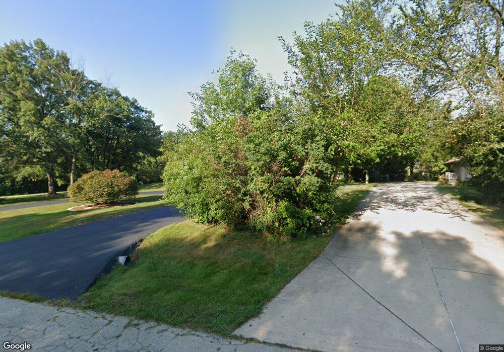
14700 S Hawthorne Ct S Lockport, IL 60491
Estimated Value: $553,000 - $637,000
--
Bed
--
Bath
2,976
Sq Ft
$201/Sq Ft
Est. Value
About This Home
This home is located at 14700 S Hawthorne Ct S, Lockport, IL 60491 and is currently estimated at $596,770, approximately $200 per square foot. 14700 S Hawthorne Ct S is a home located in Will County with nearby schools including Reed Elementary School, Walsh Elementary School, and Ludwig Elementary School.
Ownership History
Date
Name
Owned For
Owner Type
Purchase Details
Closed on
Jan 13, 2023
Sold by
Roszak Christopher A and Roszak Meghan E
Bought by
Roszak Family Trust and Roszak
Current Estimated Value
Purchase Details
Closed on
Jul 22, 2019
Sold by
Gleason Sean M and Gregory D Gleason Trust
Bought by
Roszak Christopher and Roszak Meghan
Purchase Details
Closed on
Nov 21, 2017
Sold by
Gleason Gregory D
Bought by
Gregory D Gleason Trust
Create a Home Valuation Report for This Property
The Home Valuation Report is an in-depth analysis detailing your home's value as well as a comparison with similar homes in the area
Home Values in the Area
Average Home Value in this Area
Purchase History
| Date | Buyer | Sale Price | Title Company |
|---|---|---|---|
| Roszak Family Trust | -- | None Listed On Document | |
| Roszak Christopher | $382,500 | Fidelity National Title | |
| Gregory D Gleason Trust | -- | First American Title Ins Co |
Source: Public Records
Tax History Compared to Growth
Tax History
| Year | Tax Paid | Tax Assessment Tax Assessment Total Assessment is a certain percentage of the fair market value that is determined by local assessors to be the total taxable value of land and additions on the property. | Land | Improvement |
|---|---|---|---|---|
| 2024 | $9,926 | $163,711 | $38,358 | $125,353 |
| 2023 | $9,926 | $148,397 | $34,770 | $113,627 |
| 2022 | $8,831 | $138,559 | $32,465 | $106,094 |
| 2021 | $8,360 | $125,346 | $30,758 | $94,588 |
| 2020 | $8,378 | $120,734 | $29,626 | $91,108 |
| 2019 | $7,581 | $116,146 | $28,500 | $87,646 |
| 2018 | $7,429 | $112,290 | $28,173 | $84,117 |
| 2017 | $7,273 | $109,146 | $27,384 | $81,762 |
| 2016 | $7,089 | $105,506 | $26,471 | $79,035 |
| 2015 | $6,664 | $101,545 | $25,477 | $76,068 |
| 2014 | $6,664 | $99,447 | $24,951 | $74,496 |
| 2013 | $6,664 | $99,447 | $24,951 | $74,496 |
Source: Public Records
Map
Nearby Homes
- 15551 W 143rd St
- 14204 Lemont Rd
- 14000 West St
- 14034 S Elm St
- 14761 Marilynn Ln
- 15521 S Mallard Ln
- 16100 S Gougar Rd
- 13932 S Elm St
- 13920 Oak St
- 13920 S Elm St
- 13908 S Elm St
- 14848 W Ginger Ln
- 16045 W 139th St
- 15629 W 139th St
- 14029 Cokes Rd
- 15450 W Purley Ct
- 14459 Gatses Ln
- 14840 W 139th St
- 13714 S Janas Pkwy
- 14655 W Walnut Ave
- 14611 S Hawthorne Ct N
- 14561 S Hawthorne Ct N
- 14627 S Hawthorne Ct N
- 14612 S Hawthorne Ct N
- 14543 S Hawthorne Ct N
- 14628 S Hawthorne Ct N
- 14546 S Hawthorne Ct N
- 14639 S Hawthorne Ct N
- 14642 S Hawthorne Ct N
- 14528 S Hawthorne Ct N
- 14655 S Hawthorne Ct N Unit 1
- 14527 S Hawthorne Ct N
- 14654 S Hawthorne Ct N
- 14520 S Hawthorne Ct N
- 15264 W 147th St
- 14717 S Hawthorne Ct S
- 15212 W 147th St
- 14718 S Hawthorne Ct S
- 15352 W Thornwood Ln
- 15364 W Thornwood Ln