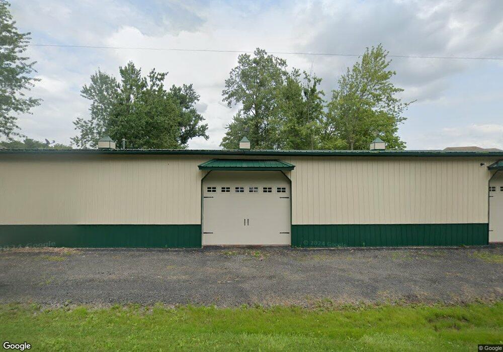
14701 Woodbridge Rd Camden, MI 49232
Estimated Value: $132,000 - $428,000
--
Bed
--
Bath
--
Sq Ft
1.06
Acres
About This Home
This home is located at 14701 Woodbridge Rd, Camden, MI 49232 and is currently estimated at $242,237. 14701 Woodbridge Rd is a home with nearby schools including Camden-Frontier High School and Camden-Frontier K-8 School.
Ownership History
Date
Name
Owned For
Owner Type
Purchase Details
Closed on
Sep 11, 2025
Sold by
Friskney Carole S
Bought by
Friskney Tyson L
Current Estimated Value
Purchase Details
Closed on
Mar 20, 2017
Sold by
Friskney Gilbert L and Friskney Carole S
Bought by
Kinner Shirley
Purchase Details
Closed on
Apr 30, 2011
Sold by
Friskney Gilbert L and Friskney Carole
Bought by
Friskney E June and Friskney Gilbert L
Purchase Details
Closed on
Apr 30, 2010
Sold by
Lemmon Fred and Lemmon Lori
Bought by
Friskney Gilbert
Purchase Details
Closed on
Jul 17, 2000
Sold by
Lemmon Fred L and Lemmon Lori A
Bought by
Lemmon Fred L and Lemmon Lori A
Purchase Details
Closed on
Jan 12, 1998
Sold by
Lemmon Fred L
Bought by
Lemmon Fred L and Hamilton Lori A
Create a Home Valuation Report for This Property
The Home Valuation Report is an in-depth analysis detailing your home's value as well as a comparison with similar homes in the area
Home Values in the Area
Average Home Value in this Area
Purchase History
| Date | Buyer | Sale Price | Title Company |
|---|---|---|---|
| Friskney Tyson L | -- | None Listed On Document | |
| Kinner Shirley | -- | Attorney | |
| Friskney E June | -- | None Available | |
| Friskney Gilbert | $47,500 | Midstate Title | |
| Lemmon Fred L | -- | -- | |
| Lemmon Fred L | -- | -- |
Source: Public Records
Tax History Compared to Growth
Tax History
| Year | Tax Paid | Tax Assessment Tax Assessment Total Assessment is a certain percentage of the fair market value that is determined by local assessors to be the total taxable value of land and additions on the property. | Land | Improvement |
|---|---|---|---|---|
| 2025 | $740 | $43,700 | $0 | $0 |
| 2024 | $359 | $42,000 | $0 | $0 |
| 2023 | $342 | $36,500 | $0 | $0 |
| 2022 | $704 | $29,700 | $0 | $0 |
| 2021 | $706 | $30,200 | $0 | $0 |
| 2020 | $716 | $30,000 | $0 | $0 |
| 2019 | $688 | $28,700 | $0 | $0 |
| 2018 | $768 | $33,100 | $0 | $0 |
| 2017 | $736 | $31,830 | $0 | $0 |
| 2016 | $1,391 | $33,880 | $0 | $0 |
| 2015 | $371 | $33,880 | $0 | $0 |
| 2013 | $242 | $22,950 | $0 | $0 |
| 2012 | $237 | $21,610 | $0 | $0 |
Source: Public Records
Map
Nearby Homes
- 14934 Heather Ct
- 14364 Horn Dr
- 13551 Hillsdale Rd
- 623-624 Yuma Trail
- 0 W Territorial Rd Unit 25043960
- 0 W Territorial Rd Unit 11603977
- 0 Pontiac Trail Unit 10001711
- 988-989 Seneca Dr
- 207 Modoc Trail
- 213 Navajo Trail
- 155 Navajo Trail
- 600 Seneca Dr
- 234 Seneca Dr
- 638 Seneca Dr
- 131 Choctaw Trail
- 145 Lumbee Ln
- 14621 Laura Ln
- 4002 & 4014 Meadowlawn Dr
- 16993 County Road 12
- 4324 Oak Glen Dr
- 14729 Woodbridge Rd
- 14605 Woodbridge Rd
- 14757 Woodbridge Rd
- 14705 Woodbridge Rd
- 14647 Woodbridge Rd
- 14759 Woodbridge Rd
- 14769 Woodbridge Rd
- 14861 Woodbridge Rd
- 14489 Woodbridge Rd
- 2440 Mindy Ln
- 2410 Mindy Ln
- 2370 Mindy Ln
- 2348 Mindy Ln
- 2326 Mindy Ln
- 2300 Mindy Ln
- 14507 Woodbridge Rd
- 14449 Woodbridge Rd
- 14911 Woodbridge Rd
- 2351 Mindy Ln
- 2274 Mindy Ln