14707 Smouses Mill Rd NE Cumberland, MD 21502
Estimated Value: $288,000 - $489,000
--
Bed
1
Bath
5,161
Sq Ft
$78/Sq Ft
Est. Value
About This Home
This home is located at 14707 Smouses Mill Rd NE, Cumberland, MD 21502 and is currently estimated at $403,256, approximately $78 per square foot. 14707 Smouses Mill Rd NE is a home located in Allegany County with nearby schools including Northeast Elementary School, Washington Middle School, and Fort Hill High School.
Ownership History
Date
Name
Owned For
Owner Type
Purchase Details
Closed on
Mar 11, 2021
Sold by
Oneal Charles R and Oneal Ruth L
Bought by
Whitacre Lance David and Whitacre Brenda Kay
Current Estimated Value
Purchase Details
Closed on
Mar 7, 1983
Bought by
O'Neal Charles R
Home Financials for this Owner
Home Financials are based on the most recent Mortgage that was taken out on this home.
Original Mortgage
$20,000
Interest Rate
12.74%
Create a Home Valuation Report for This Property
The Home Valuation Report is an in-depth analysis detailing your home's value as well as a comparison with similar homes in the area
Home Values in the Area
Average Home Value in this Area
Purchase History
| Date | Buyer | Sale Price | Title Company |
|---|---|---|---|
| Whitacre Lance David | -- | None Available | |
| O'Neal Charles R | $35,000 | -- |
Source: Public Records
Mortgage History
| Date | Status | Borrower | Loan Amount |
|---|---|---|---|
| Previous Owner | O'Neal Charles R | $20,000 |
Source: Public Records
Tax History Compared to Growth
Tax History
| Year | Tax Paid | Tax Assessment Tax Assessment Total Assessment is a certain percentage of the fair market value that is determined by local assessors to be the total taxable value of land and additions on the property. | Land | Improvement |
|---|---|---|---|---|
| 2025 | $4,320 | $373,400 | $0 | $0 |
| 2024 | $3,735 | $322,800 | $34,200 | $288,600 |
| 2023 | $3,463 | $318,600 | $0 | $0 |
| 2022 | $3,575 | $314,400 | $0 | $0 |
| 2021 | $3,464 | $310,200 | $34,200 | $276,000 |
| 2020 | $3,496 | $310,200 | $34,200 | $276,000 |
| 2019 | $3,496 | $310,200 | $34,200 | $276,000 |
| 2018 | $3,760 | $336,700 | $34,200 | $302,500 |
| 2017 | $3,767 | $336,700 | $0 | $0 |
| 2016 | $3,805 | $336,700 | $0 | $0 |
| 2015 | $624 | $55,400 | $0 | $0 |
| 2014 | $624 | $55,100 | $0 | $0 |
Source: Public Records
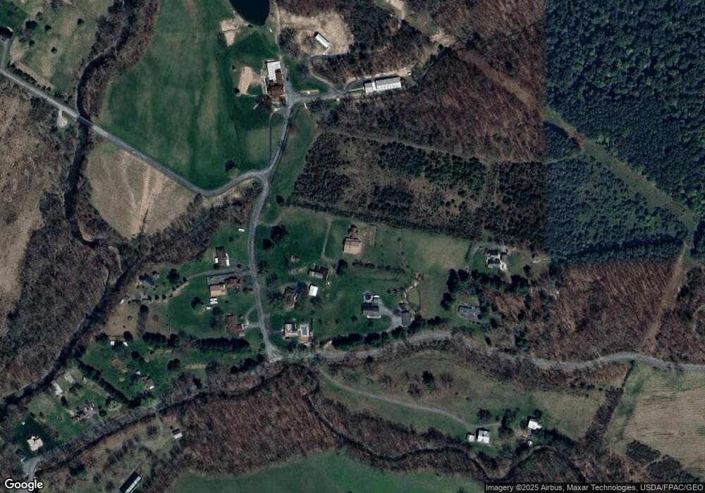
Map
Nearby Homes
- 12807 Mason Rd NE
- 13910 Bedford Rd NE
- 13001 Bedford Rd NE
- 0 Old Hancock Rd NE
- 13400 Grevener St
- 14602 Michael Rd NE
- 12212 Bedford Rd NE
- 11115 Hinkle Rd NE
- 12035 Bedford Rd NE
- 11915 Bedford Rd NE
- 11816 Bedford Rd NE Unit REAR
- 12401 Amherst Ave NE
- 0 Christie Rd
- 1910 Frederick St
- 0 Cherry Run Rd
- 11919 Amherst Ave NE
- 10109 Golf Creek Dr NE
- 519 Forester Ave
- 512 Schlund Ave
- 0 Shades Rr Unit MDAL2012350
- 13450 Rocky Gap Rd NE
- 14715 Smouses Mill Rd NE
- 14717 Smouses Mill Rd NE
- 14712 Smouses Mill Rd NE
- 14710 Smouses Mill Rd NE
- 14716 Smouses Mill Rd NE
- 13424 Rocky Gap Rd NE
- 13426 Rocky Gap Rd NE
- 14701 Smouses Mill Rd NE
- 14517 Inheritance Ln
- 13441 Rocky Gap Rd NE
- 13321 Mason Rd NE
- 13311 Mason Rd NE
- 13303 Mason Rd NE
- 13400 Rocky Gap Rd NE
- 13101 Ferguson Ln NE
- 13210 Mason Rd NE
- 14501 Smouses Mill Rd NE
- 13115 Ferguson Ln NE
- 13109 Ferguson Ln NE