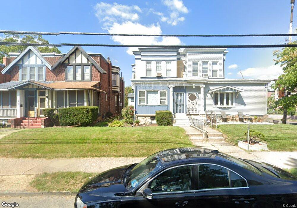
1471 Baird Blvd Camden, NJ 08103
Parkside NeighborhoodEstimated Value: $141,000 - $194,000
--
Bed
--
Bath
2,025
Sq Ft
$79/Sq Ft
Est. Value
About This Home
This home is located at 1471 Baird Blvd, Camden, NJ 08103 and is currently estimated at $160,091, approximately $79 per square foot. 1471 Baird Blvd is a home located in Camden County with nearby schools including Camden High School and Freedom Prep Charter School.
Ownership History
Date
Name
Owned For
Owner Type
Purchase Details
Closed on
Aug 25, 1988
Bought by
Spearman William W and Spearman Michelle D
Current Estimated Value
Create a Home Valuation Report for This Property
The Home Valuation Report is an in-depth analysis detailing your home's value as well as a comparison with similar homes in the area
Home Values in the Area
Average Home Value in this Area
Purchase History
| Date | Buyer | Sale Price | Title Company |
|---|---|---|---|
| Spearman William W | $37,000 | -- |
Source: Public Records
Tax History Compared to Growth
Tax History
| Year | Tax Paid | Tax Assessment Tax Assessment Total Assessment is a certain percentage of the fair market value that is determined by local assessors to be the total taxable value of land and additions on the property. | Land | Improvement |
|---|---|---|---|---|
| 2025 | $2,615 | $73,800 | $13,300 | $60,500 |
| 2024 | $2,528 | $73,800 | $13,300 | $60,500 |
| 2023 | $2,528 | $73,800 | $13,300 | $60,500 |
| 2022 | $2,480 | $73,800 | $13,300 | $60,500 |
| 2021 | $2,472 | $73,800 | $13,300 | $60,500 |
| 2020 | $2,347 | $73,800 | $13,300 | $60,500 |
| 2019 | $2,247 | $73,800 | $13,300 | $60,500 |
| 2018 | $2,235 | $73,800 | $13,300 | $60,500 |
| 2017 | $2,181 | $73,800 | $13,300 | $60,500 |
| 2016 | $2,111 | $73,800 | $13,300 | $60,500 |
| 2015 | $2,032 | $73,800 | $13,300 | $60,500 |
| 2014 | $1,984 | $73,800 | $13,300 | $60,500 |
Source: Public Records
Map
Nearby Homes
- 1224 Empire Ave
- 1213 Empire Ave
- 1243 Magnolia Ave
- 1268 Kenwood Ave
- 1510 Wildwood Ave
- 1266 Magnolia Ave
- 1261 Kenwood Ave
- 1249 Kenwood Ave
- 1361 Kaighns Ave
- 1367 Kenwood Ave
- 1407 Bradley Ave
- 1411 Bradley Ave
- 1238 Haddon Ave
- 1113 Empire Ave
- 1386 Haddon Ave
- 1371 Park Blvd
- 1361 Park Blvd
- 1508 Bradley Ave
- 1433 Haddon Ave
- 1327 Lansdowne Ave
- 1467 Baird Blvd
- 1473 Baird Blvd
- 1465 Baird Blvd
- 1461 Baird Blvd
- 1459 Baird Blvd
- 1455 Baird Blvd
- 1501 Baird Blvd
- 1264 Langham Ave
- 1262 Langham Ave
- 1503 Baird Blvd
- 1453 Baird Blvd
- 1260 Langham Ave
- 1507 Baird Blvd
- 1500 Baird Blvd
- 1262 Empire Ave
- 1260 Empire Ave
- 1258 Langham Ave
- 1509 Baird Blvd
- 1256 Langham Ave
- 1502 Baird Blvd