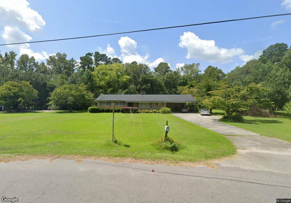
1471 Bennett Cir Holly Hill, SC 29059
Estimated Value: $214,000 - $282,000
3
Beds
2
Baths
1,779
Sq Ft
$143/Sq Ft
Est. Value
About This Home
This home is located at 1471 Bennett Cir, Holly Hill, SC 29059 and is currently estimated at $253,753, approximately $142 per square foot. 1471 Bennett Cir is a home located in Orangeburg County with nearby schools including Holly Hill Elementary School, Holly Hill Elementary, and Holly Hill-Roberts Middle.
Ownership History
Date
Name
Owned For
Owner Type
Purchase Details
Closed on
Aug 5, 2010
Sold by
Owens Juanita and Desantis Donna
Bought by
Green Iva Jade
Current Estimated Value
Home Financials for this Owner
Home Financials are based on the most recent Mortgage that was taken out on this home.
Original Mortgage
$119,392
Outstanding Balance
$78,248
Interest Rate
4.37%
Mortgage Type
FHA
Estimated Equity
$175,505
Purchase Details
Closed on
Nov 23, 2005
Sold by
Owens Juanita G
Bought by
Desantis Donna and Teller Denise
Create a Home Valuation Report for This Property
The Home Valuation Report is an in-depth analysis detailing your home's value as well as a comparison with similar homes in the area
Home Values in the Area
Average Home Value in this Area
Purchase History
| Date | Buyer | Sale Price | Title Company |
|---|---|---|---|
| Green Iva Jade | $121,000 | -- | |
| Desantis Donna | -- | -- |
Source: Public Records
Mortgage History
| Date | Status | Borrower | Loan Amount |
|---|---|---|---|
| Open | Green Iva Jade | $119,392 |
Source: Public Records
Tax History Compared to Growth
Tax History
| Year | Tax Paid | Tax Assessment Tax Assessment Total Assessment is a certain percentage of the fair market value that is determined by local assessors to be the total taxable value of land and additions on the property. | Land | Improvement |
|---|---|---|---|---|
| 2024 | $1,655 | $10,823 | $1,787 | $9,036 |
| 2023 | $1,456 | $7,970 | $1,424 | $6,546 |
| 2022 | $1,430 | $7,970 | $1,424 | $6,546 |
| 2021 | $1,414 | $7,970 | $1,424 | $6,546 |
| 2020 | $1,393 | $7,970 | $0 | $0 |
| 2019 | $1,398 | $7,970 | $0 | $0 |
| 2018 | $1,323 | $6,943 | $0 | $0 |
| 2017 | $1,312 | $6,943 | $0 | $0 |
| 2016 | $1,294 | $6,943 | $0 | $0 |
| 2015 | $1,257 | $6,943 | $0 | $0 |
| 2014 | $1,257 | $6,944 | $1,424 | $5,520 |
| 2013 | -- | $0 | $0 | $0 |
Source: Public Records
Map
Nearby Homes
- 0 Lindstedt Ln
- 264 Walters Rd
- 1301 Bennett Cir
- 1691 Bennett Cir
- 0 Bunch Ford Rd Unit 25021235
- 310 Bunch Ford Rd
- 208 Bunch Ford Rd
- 220 Brooks Dr
- BRANDON Plan at Evergreen
- CALI Plan at Evergreen
- HELENA Plan at Evergreen
- DOWNING Plan at Evergreen
- SULLIVAN Plan at Evergreen
- 210 Bunch Ford Rd
- 130 Culbertson Ct
- 114 Culbertson Ct
- 414 Brooks Dr
- 128 Culbertson Ct
- 129 Culbertson Cir
- 132 Brooks Dr
- 1513 Bennett Cir
- 1447 Bennett Cir
- 1454 Bennett Cir
- 1450 Brant Ave
- 1525 Bennett Cir
- 1444 Bennett Cir
- 1433 Bennett Cir
- 1435 Bennett Cir
- 1474 Bennett Cir
- 1430 Brant Ave
- 1432 Bennett Cir
- 1423 Bennett Cir
- 1465 Brant Ave
- 1453 Brant Ave
- Tbd Lindstedt Ln
- 1549 Bennett Cir
- 1443 Brant Ave
- 1422 Bennett Cir
- 1415 Bennett Cir
- 1544 Bennett Cir