Estimated Value: $146,949 - $155,000
--
Bed
2
Baths
1,520
Sq Ft
$99/Sq Ft
Est. Value
About This Home
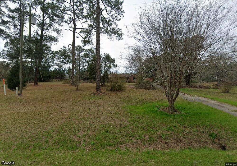
This home is located at 1471 Ga Highway 122, Pavo, GA 31778 and is currently estimated at $150,975, approximately $99 per square foot. 1471 Ga Highway 122 is a home located in Brooks County with nearby schools including North Brooks Elementary School.
Ownership History
Date
Name
Owned For
Owner Type
Purchase Details
Closed on
Jun 18, 2024
Sold by
Robinson Tommie Lisa
Bought by
Chastain Patti J
Current Estimated Value
Purchase Details
Closed on
Jun 17, 2024
Sold by
Taylor Evelyn T
Bought by
Chastain Patti J
Purchase Details
Closed on
Sep 28, 2022
Sold by
Robinson Ruby Lee Estate
Bought by
Griner Kris Tina and Taylor Evelyn T
Purchase Details
Closed on
Jan 1, 1990
Bought by
Robinson Ruby
Create a Home Valuation Report for This Property
The Home Valuation Report is an in-depth analysis detailing your home's value as well as a comparison with similar homes in the area
Home Values in the Area
Average Home Value in this Area
Purchase History
| Date | Buyer | Sale Price | Title Company |
|---|---|---|---|
| Chastain Patti J | $15,000 | -- | |
| Chastain Patti J | $15,000 | -- | |
| Chastain Patti J | $15,000 | -- | |
| Griner Kris Tina | -- | -- | |
| Robinson Ruby | -- | -- |
Source: Public Records
Tax History Compared to Growth
Tax History
| Year | Tax Paid | Tax Assessment Tax Assessment Total Assessment is a certain percentage of the fair market value that is determined by local assessors to be the total taxable value of land and additions on the property. | Land | Improvement |
|---|---|---|---|---|
| 2025 | $1,372 | $38,700 | $25,520 | $13,180 |
| 2024 | $1,372 | $38,700 | $25,520 | $13,180 |
| 2023 | $2,104 | $61,460 | $23,600 | $37,860 |
| 2022 | $1,790 | $50,220 | $22,440 | $27,780 |
| 2021 | $1,652 | $46,860 | $22,000 | $24,860 |
| 2020 | $1,295 | $46,620 | $22,000 | $24,620 |
| 2019 | $1,606 | $46,860 | $22,440 | $24,420 |
| 2018 | $1,365 | $46,740 | $22,320 | $24,420 |
| 2017 | $1,569 | $45,860 | $22,320 | $23,540 |
| 2016 | $1,599 | $45,860 | $22,320 | $23,540 |
| 2015 | -- | $46,100 | $22,320 | $23,780 |
| 2014 | -- | $47,020 | $22,320 | $24,700 |
| 2013 | -- | $47,020 | $22,320 | $24,700 |
Source: Public Records
Map
Nearby Homes
- 2055 S Roberts St
- 2051 W Pear St
- 1136 Nesbitt Rd
- 1230 Parrish Rd
- 16343 Georgia 33
- 16343 Ga Hwy 33 -8 34 Acres
- 16343
- 16343 Ga Hwy 33 - 8 34 Acres Hwy
- 9283 Tallokas Rd Unit 54/13
- 9283 Tallokas Rd
- 813 Vonier Road (6 Acres)
- 13876 Ga Highway 122
- 1038-BA Church St
- 7402 Coffee Rd
- 7921 Five Forks Rd
- 3812 Ponder Rd
- 110 Nicole Britt Dr
- 431 Dry Lake Rd
- 101 Bailey Cir
- 203 Bailey Cir
- 1321 Georgia 122
- 1100 Ga Highway 122 Rd
- 1043 Georgia 122
- 925 Ga Highway 122
- 971 Georgia 122
- 99999 Ga 188
- 1114 Magnolia Church Rd
- 10248 Tallokas Rd
- 831 Harris St
- 1073 Magnolia Church Rd
- 261 Lebanon Cemetery Rd
- 224 Lebanon Cemetery Rd
- 69 Lebanon Cemetery Rd
- 78 Lebanon Cemetery Rd
- 791 Highway 122
- 791 Ga Highway 122
- 791 Highway 122
- 745 Adams Rd
- 564 Adams Rd
- 57 Lebanon Cemetery Rd