1471 N Roundup Rd Camp Verde, AZ 86322
Estimated Value: $531,000 - $661,000
--
Bed
--
Bath
2,824
Sq Ft
$209/Sq Ft
Est. Value
About This Home
This home is located at 1471 N Roundup Rd, Camp Verde, AZ 86322 and is currently estimated at $590,763, approximately $209 per square foot. 1471 N Roundup Rd is a home located in Yavapai County with nearby schools including Camp Verde Elementary School, Camp Verde Middle School, and Camp Verde High School.
Ownership History
Date
Name
Owned For
Owner Type
Purchase Details
Closed on
Oct 8, 2024
Sold by
Zamora Tyler J
Bought by
Zamora Tyler J and Zamora Melissa Brooke
Current Estimated Value
Purchase Details
Closed on
Jun 6, 2007
Sold by
Reed Elida Louise Nichols and Reed Elida L
Bought by
Reed Elida Louise Nichols and The Elida L Proper Living Trus
Purchase Details
Closed on
Apr 28, 2005
Sold by
Proper Elida L
Bought by
Reed Elida L
Home Financials for this Owner
Home Financials are based on the most recent Mortgage that was taken out on this home.
Original Mortgage
$180,000
Interest Rate
1%
Mortgage Type
Fannie Mae Freddie Mac
Purchase Details
Closed on
Mar 23, 1998
Sold by
Proper Rodney L and Proper Elida L
Bought by
Proper Rodney L and Proper Elida L
Home Financials for this Owner
Home Financials are based on the most recent Mortgage that was taken out on this home.
Original Mortgage
$108,000
Interest Rate
7.03%
Create a Home Valuation Report for This Property
The Home Valuation Report is an in-depth analysis detailing your home's value as well as a comparison with similar homes in the area
Home Values in the Area
Average Home Value in this Area
Purchase History
| Date | Buyer | Sale Price | Title Company |
|---|---|---|---|
| Zamora Tyler J | -- | Pioneer Title | |
| Reed Elida Louise Nichols | -- | None Available | |
| Reed Elida L | -- | -- | |
| Proper Rodney L | -- | Chicago Title Insurance Co |
Source: Public Records
Mortgage History
| Date | Status | Borrower | Loan Amount |
|---|---|---|---|
| Previous Owner | Reed Elida L | $180,000 | |
| Previous Owner | Proper Rodney L | $108,000 |
Source: Public Records
Tax History Compared to Growth
Tax History
| Year | Tax Paid | Tax Assessment Tax Assessment Total Assessment is a certain percentage of the fair market value that is determined by local assessors to be the total taxable value of land and additions on the property. | Land | Improvement |
|---|---|---|---|---|
| 2026 | $1,915 | $48,304 | -- | -- |
| 2024 | $1,851 | $46,557 | -- | -- |
| 2023 | $1,851 | $39,735 | $5,675 | $34,060 |
| 2022 | $1,744 | $31,590 | $3,420 | $28,170 |
| 2021 | $1,813 | $30,307 | $5,010 | $25,297 |
| 2020 | $1,750 | $0 | $0 | $0 |
| 2019 | $1,712 | $0 | $0 | $0 |
| 2018 | $1,654 | $0 | $0 | $0 |
| 2017 | $1,567 | $0 | $0 | $0 |
| 2016 | $1,507 | $0 | $0 | $0 |
| 2015 | -- | $0 | $0 | $0 |
| 2014 | -- | $0 | $0 | $0 |
Source: Public Records
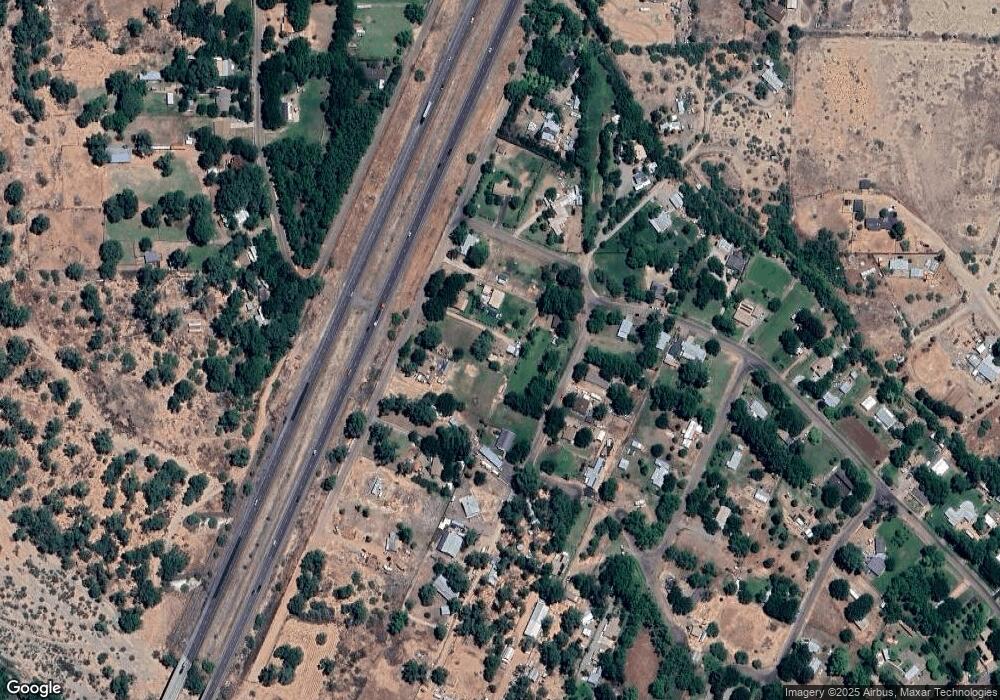
Map
Nearby Homes
- 1689 N Rustler Trail
- 740 W Buffalo Trail Unit 99
- 1012 W Apache Trail
- 1153 N Esther Pkwy
- 1902 N Arena Del Loma
- 2034 N Rustler Trail
- 874 Industrial Dr
- 1733 N Arena Del Loma Rd
- 1496 W Horseshoe Bend Dr
- 965 N Garner Ln
- 1487 W Horseshoe Bend Dr Unit 39
- 1487 W Horseshoe Bend Dr Unit 4
- 1487 W Horseshoe Bend Dr Unit 67
- 1487 W Horseshoe Bend Dr Unit 70
- 1487 W Horseshoe Bend Dr Unit 17
- 1487 W Horseshoe Bend Dr Unit 44
- 1487 W Horseshoe Bend Dr Unit 66
- 1226 W Peterson Rd
- 0000 Industrial Dr
- 0000 W State Route 260 --